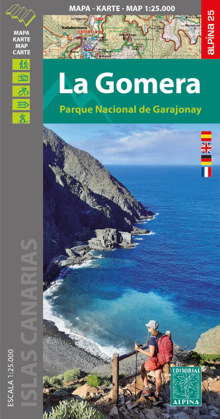
Hiking map - La Gomera, with Garajonay National Park | Alpine

Price
Regular price $16.00
Regular price Sale price $16.00
Save $-16
/
  • Shipping within 24 working hours from our warehouse in France
  • Delivery costs calculated instantly in the basket
  • Free returns (*)
  • Real-time inventory
  • Low stock - 2 items left
  • Backordered, shipping soon
Tax included.

Often purchased together:

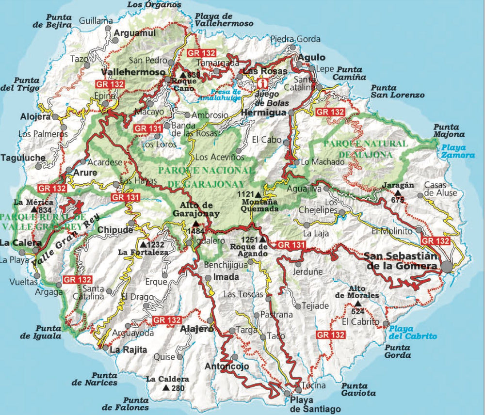
Detailed topographic map of La Gomera which notably covers the Garajonay National Park. Contour lines spaced 10 m apart.

The island was mapped at 1:25,000 scale printed on one side only. The map includes all the marked trails: GR 131 and 132, the 41 routes of the Cabildo and the 18 routes of the National Park. It also incorporates tourist and ethnological points of interest.
Additional information included in the file:
• Beautiful hikes
• Marked routes
• GR 131 - GR 132. National Park trails • Information
• Strong points


ISBN/EAN : 9788480909815
Publication date: 2024
Scale: 1/25,000 (1cm=250m)
Printed sides: front
Folded dimensions: 11.5 x 22.5cm
Unfolded dimensions: 90 x 130cm
Language(s): French, English, German, Spanish
Weight: 199 g

Customer Reviews

Based on 2 reviews
100%
(2)
0%
(0)
0%
(0)
0%
(0)
0%
(0)
E
Eero V. (Huhmari, FI)
Much needed map for a hiking holiday on Gomere

Gomera is a paradise for serious hikers who love steep hills, short distances and beautiful sceenery. The 1:25 000 map is a must if you want to explore the hiking paths on the small island (diameter only 22-23 km). Reasonably reliable bus service makes it possible to make extensive hikes using a single base (e.g. in La Calera in Valle Gran Rey).

A
Anne-Marie M. (San Sebastián de La Gomera, ES)

Carte super détaillée et facile à lire. Très satisfaite de mon achat