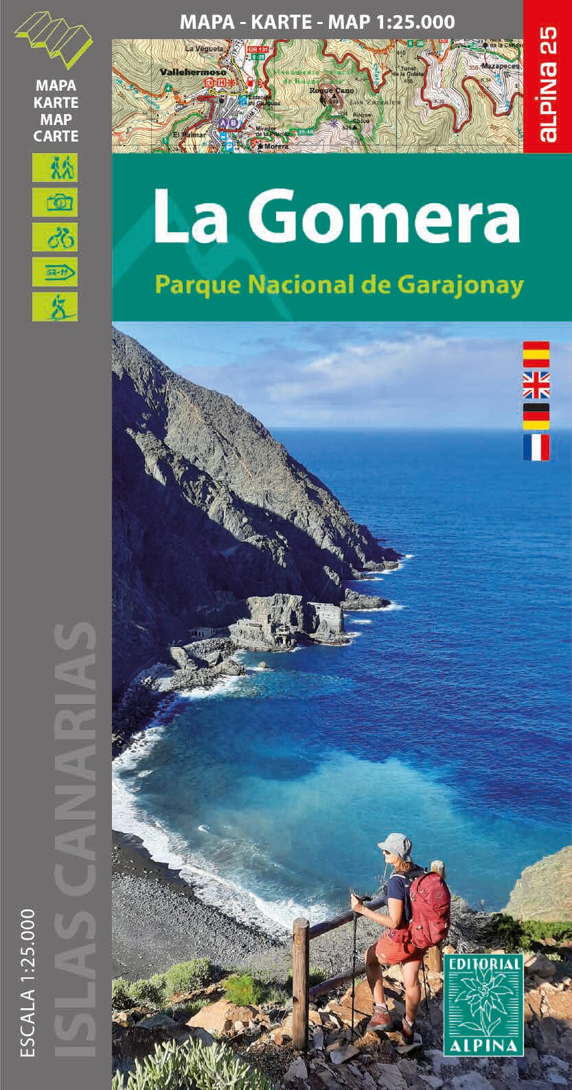
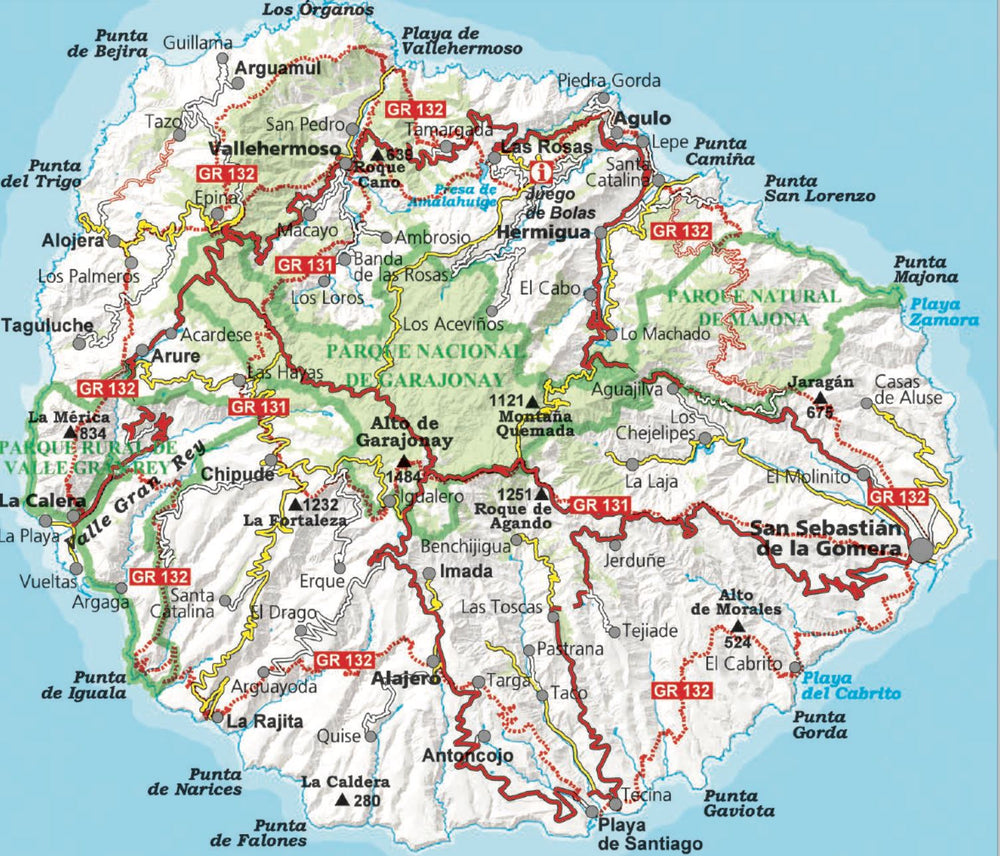
Detailed topographic map of La Gomera, including the Garajonay National Park. Contour lines spaced 10 m apart.
The island has been mapped at a scale of 1:25,000, printed on one side only. The map includes all marked trails: GR 131 and 132, the 41 Cabildo routes, and the 18 National Park routes. It also includes tourist and ethnological points of interest.
Additional information included in the file:
• Beautiful hikes
• Marked routes
• GR 131 - GR 132. National Park trails • Information
• Highlights
ISBN/EAN : 9788480909815
Publication date: 2024
Scale: 1/25,000 (1cm=250m)
Printed sides: front
Folded dimensions: 11.5 x 22.5cm
Unfolded dimensions: 90 x 130cm
Language(s): French, English, German, Spanish
Weight:
199 g


