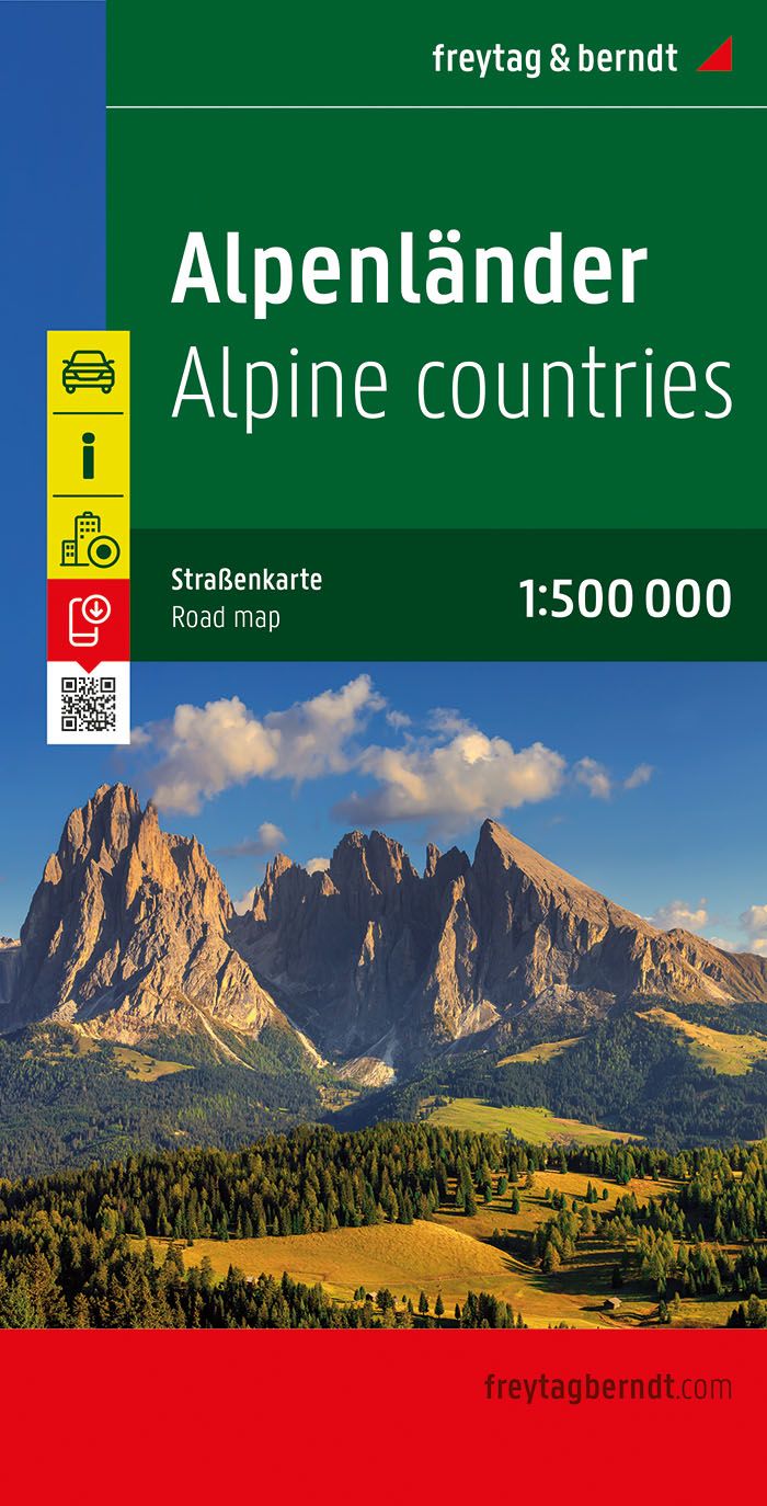
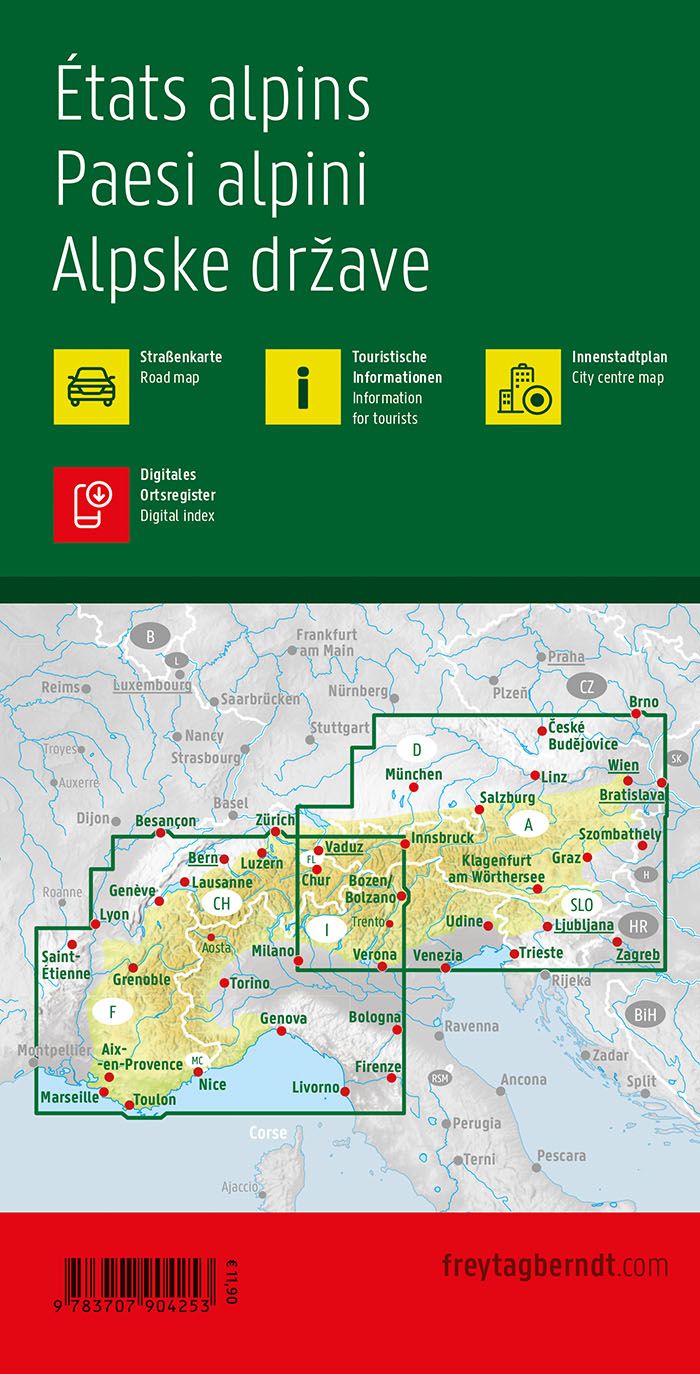
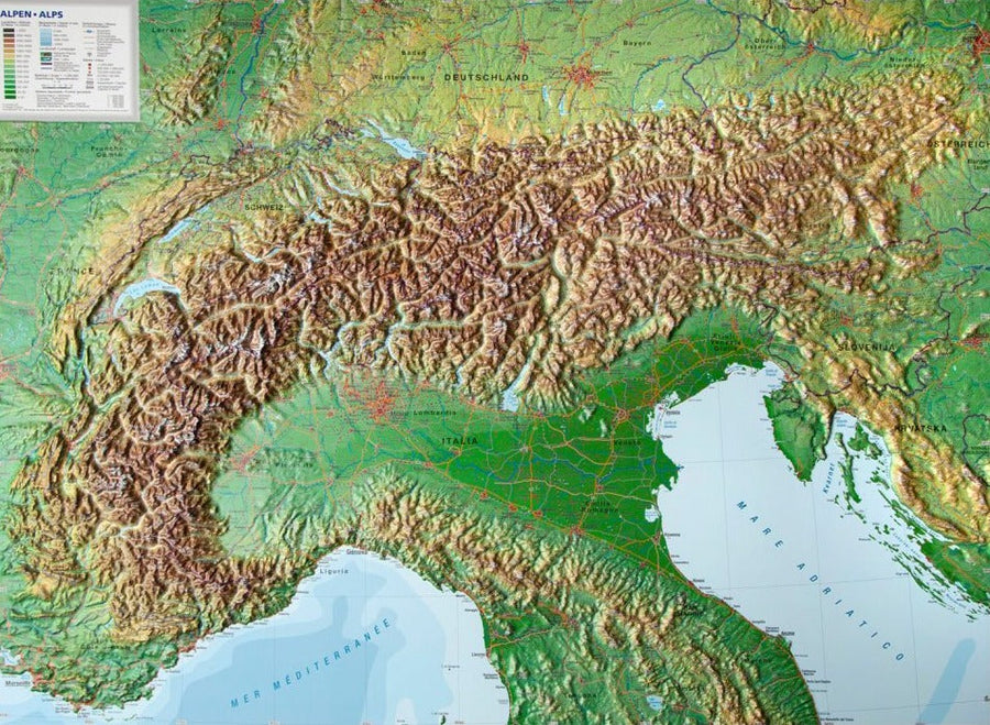
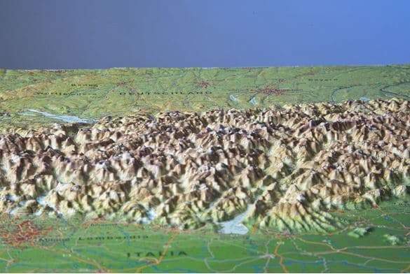
This set consisting of a double-sided printed map at a scale of 1:300,000 and the enclosed tourist guide is the perfect aid for decision-making and planning your next bike tours and holidays. Whether it's an official long-distance cycle route or a tour planned by yourself. The large fold-out map is detailed enough to know the route in advance, to orient yourself and to get inspired. The route of the most beautiful long-distance cycle paths, well-known bike tours and the location of many well-known bike parks and single trails are presented. The map coverage extends over the entire Austrian territory and beyond.
The additional integrated information offers the greatest added value. All nature reserves and nature parks are clearly signposted and mountain groups are labelled. Certain tourist sites (such as castles, churches, etc.), campsites and remarkable and high peaks are also signposted. Mountain ranges and landscape names, numbered motorways, European and federal motorways and clearly marked rivers, lakes and Alpine passes serve as orientation.
The tour guide is included with brief descriptions as well as information on the characteristics, length, start and destination of the long-distance cycle routes.
ISBN/EAN : 9783991542285
Publication date: 2024
Scale: 1/300,000 (1cm=3km)
Printed sides: both sides
Folded dimensions: 11 x 19cm
Language(s): German
Weight:
199 g


