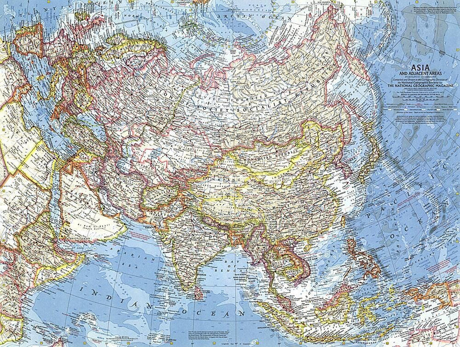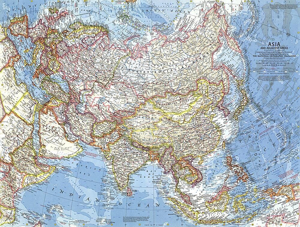
1959 Asia and Adjacent Areas Map

1959 Asia and Adjacent Areas Map Wall Map

1959 Asia and Adjacent Areas Map

Regular price $34.00
/
  • Ships within 48 business hours from our US warehouse.
  • Delivery costs calculated instantly in the cart
  • Free returns (*)
  • Real-time inventory
  • In stock, ready to ship
  • Inventory on the way
Tax included.

Often purchased together:

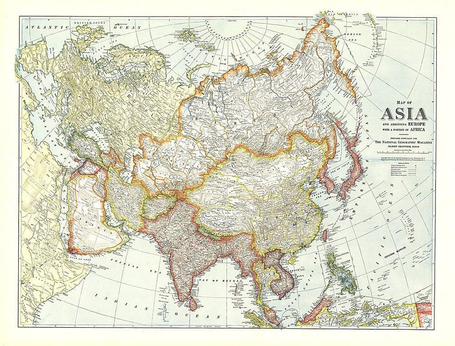
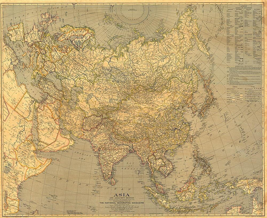
This map, displaying the entire Asian continent, features the brilliant color and magnificently detailed cartography for which National Geographic is known. Contains notes including information on the boundaries between Asia and Europe, and Asia and Africa. Published in December 1959.


ISBN/EAN : 2321420M
Publication date: 1959
Unfolded dimensions: 25in / 18.75in
Language(s): English
Poids : 200 g

Customer Reviews

Be the first to write a review
0%
(0)
0%
(0)
0%
(0)
0%
(0)
0%
(0)
More from Asia
Carte murale (en anglais) - Asie politique | National Geographic carte murale petit tube National Geographic Papier
Carte murale (en anglais) - Asie politique - 85 x 97 cm | National Geographic carte murale petit tube National Geographic
Wall Map - Asia Politics - 85 x 97 cm | National Geographic
National Geographic
from $34.00
Carte murale papier - Asie (Politique et Physique) - 154 x 120 cm | Freytag & Berndt carte murale grand tube Freytag & Berndt
Paper Wall Map - Asia (Politics and Physics) - 154 x 120 cm | Freytag & Berndt
Freytag & Berndt
$45.00
Carte murale – Asie politique (en anglais) – 100 x 120 cm | Maps International - La Compagnie des Cartes
Wall Map - Asia Politics - 100 x 120 cm | Maps International
Maps International
from $28.00
Sold Out
G'Palémo (dictionnaire d'images) | Le Routard guide de conversation Hachette
G'palemo (image dictionary) | The backpacker (French)
Hachette
$7.00
Recently viewed