1905 Kirin Harbin Vladivostok Map Wall Map

1905 Kirin Harbin Vladivostok Map

Price
Regular price $42.00
Regular price Sale price $42.00
Save $-42
/
  • Shipping within 48 business hours from our warehouse in the USA. For this product, customs fees may be requested by the carrier upon delivery.
  • Delivery costs calculated instantly in the basket
  • Free returns (*)
  • Real-time inventory
  • In stock, ready to ship
  • Backordered, shipping soon
Tax included.

Often purchased together:

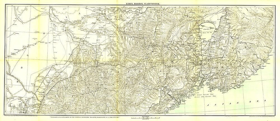
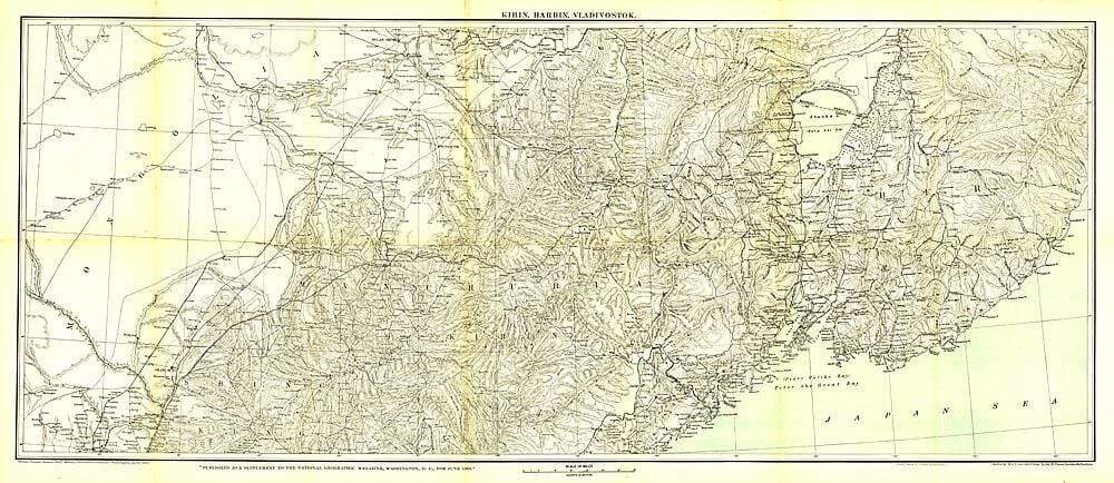
The Trans - Siberian Railway, completed in 1903, is a network of railways connecting the Russian Far East and the Sea of Japan with Moscow. It is the longest railway in the world with branch lines to China through Mongolia and Manchuria. This beautifully rendered antique map of the region from Vladivostok to Kirin and Harbin was published by National Geographic in June of 1905.


ISBN/EAN : 2321355M
Publication date: 1905
Unfolded dimensions: 46in / 20in
Language(s): English
Weight: 200 g

Customer Reviews

Be the first to write a review
0%
(0)
0%
(0)
0%
(0)
0%
(0)
0%
(0)
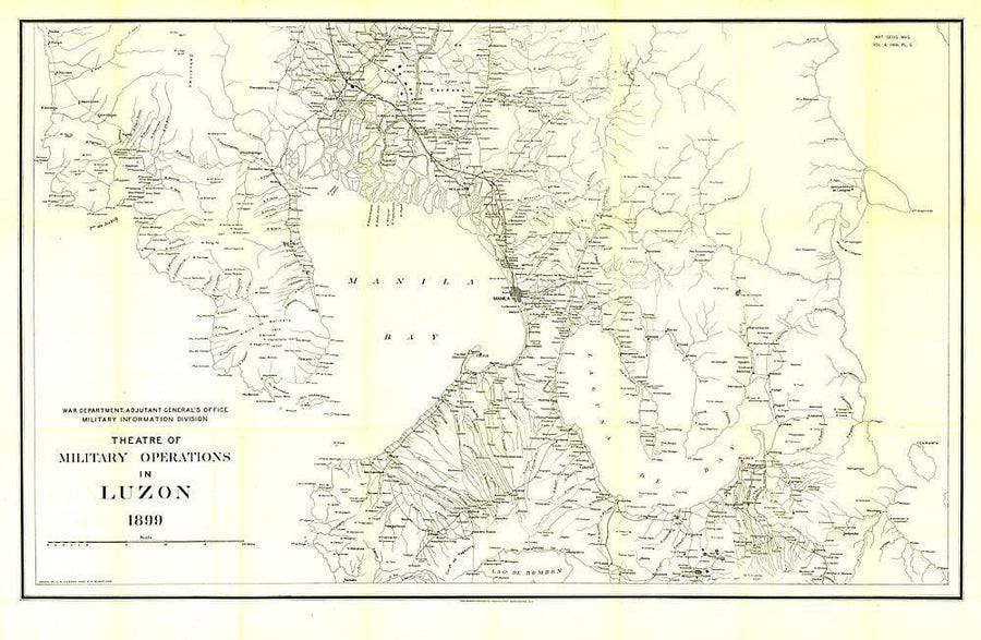
1899 Theatre of Military Operations in Luzon Wall Map
1899 Theatre of Military Operations in Luzon
National Geographic Historic POD
$49.00
1905 Kirin Harbin Vladivostok Map Wall Map
1905 Kirin Harbin Vladivostok Map
National Geographic Historic POD
$42.00
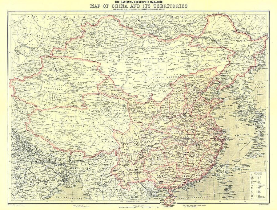
1912 China and Its Territories Map Wall Map
1912 China and Its Territories Map
National Geographic Historic POD
$28.00
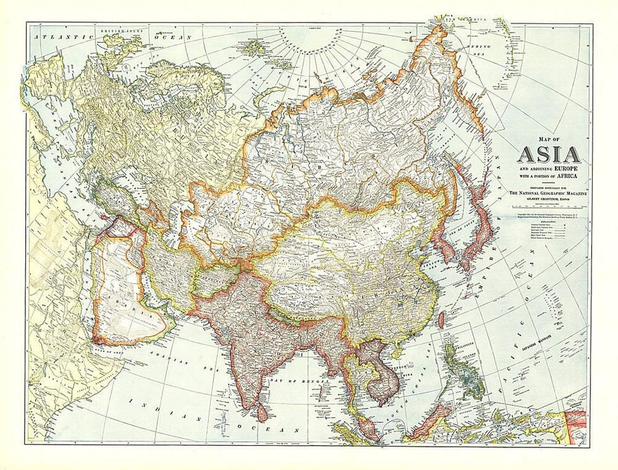
1921 Map of Asia with Europe and a portion of Africa Wall Map
1921 Map of Asia with Europe and a portion of Africa
National Geographic Historic POD
$49.00
1933 Asia Map Wall Map
1933 Asia Map
National Geographic Historic POD
$49.00