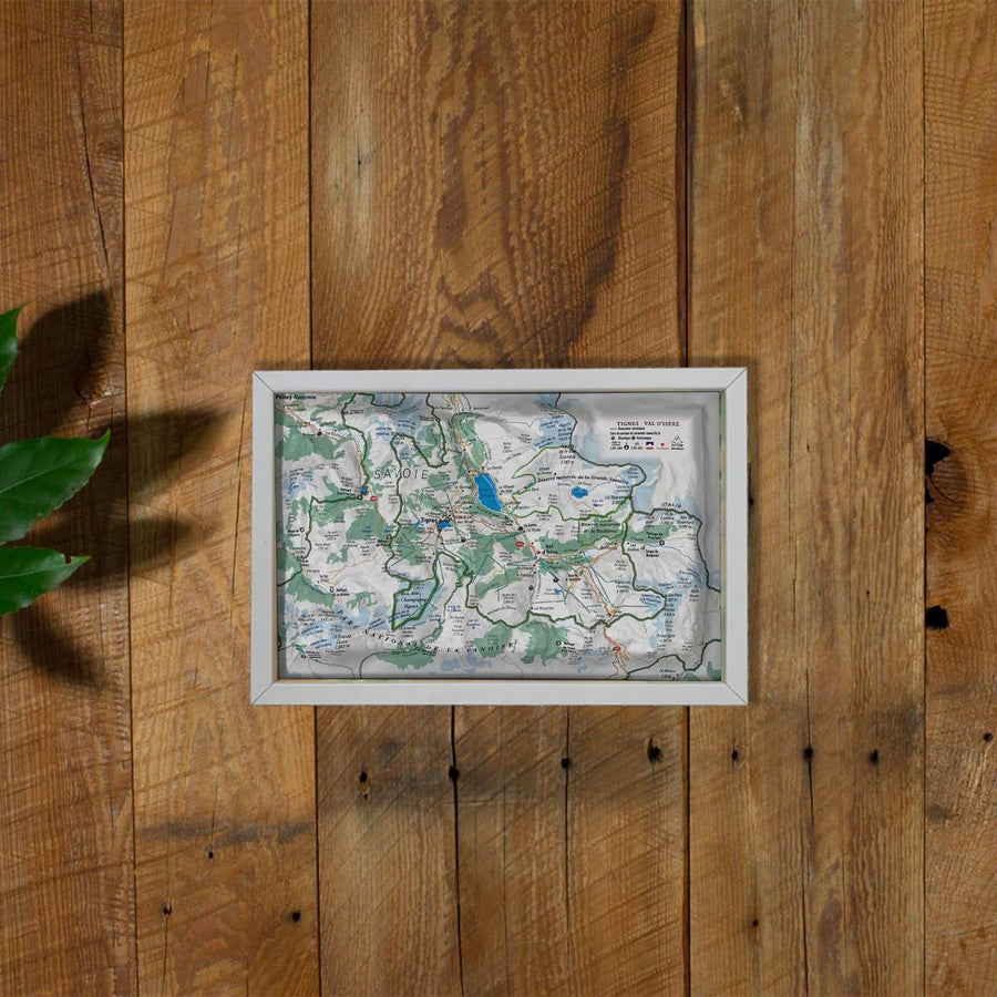
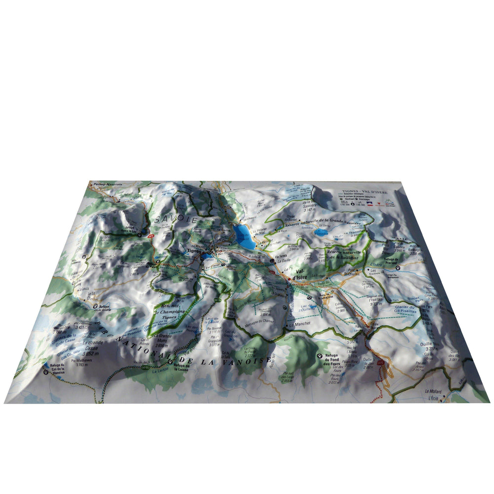
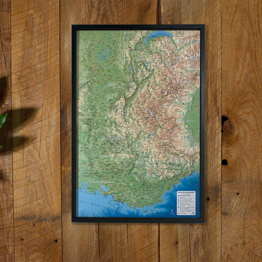
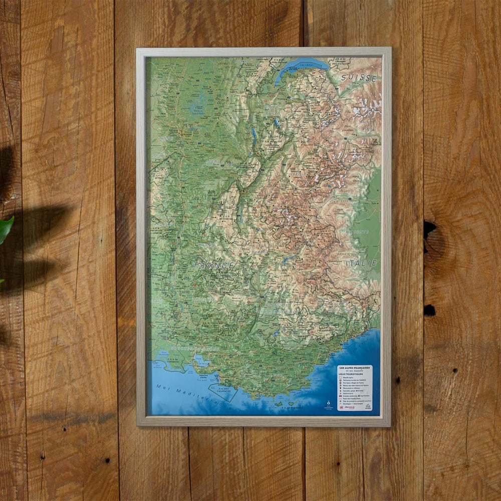
Carte murale en relief - Stations de Tignes-Val d'Isère - 19,5 cm x 29,5 cm | 3D Map carte relief petit format 3D Map

3D Raised Relief Map - Tignes-Val Isère Stations - 19.5 cm x 29.5 cm | 3D MAP (French)

3D Raised Relief Map - Tignes-Val Isère Stations - 19.5 cm x 29.5 cm | 3D MAP (French)

Regular price $22.00
/
  • Shipping within 24 working hours from our warehouse in France
  • Delivery costs calculated instantly in the basket
  • Free returns (*)
  • Real-time inventory
  • Low stock - 2 items left
  • Backordered, shipping soon
Tax included.

Embossed wall map that covers the stations of Tignes-Val Isére.

A finishing frame is also available as an option : We strongly recommend it to facilitate the attachment and showcase your map.

Information included on the map:
- General data:

• Hydrological, natural and hypsometric data - Administrative data
• Glaciers, vertices, rocks

- Sports Sites, Hiking:
• Great Hiking Trails
• Belvederes, Orientation Tables
• Refuge
• Alpina Ski Resorts
• Paragliding Practice Sites (www.ffvl. fr)
• Takeoffs, landings
• Airports, Aerodromes

- Scale & Amp Dimensions:
• Planimetric scale: 1: 95 000
• Altimetry scale: 1: 95 000
• 19.5 cm x 29.5 cm


ISBN/EAN : 9791097206222
Publication date: 2020
Scale: 1/95,000 (1cm=950m)
Unfolded dimensions: 19.5cm x 29.5cm
Language(s): French
Poids : 32 g

Customer Reviews

No reviews yet
0%
(0)
0%
(0)
0%
(0)
0%
(0)
0%
(0)