Road and Off-Road Atlas (Spiral-Bound) - Australia - 25.2 x 34.5 cm | Hema Maps

Price
Regular price $48.00
Regular price Sale price $48.00
Save $-48
/
  • Shipping within 24 working hours from our warehouse in France
  • Delivery costs calculated instantly in the basket
  • Free returns (*)
  • Real-time inventory
  • Low stock - 1 item left
  • Backordered, shipping soon
Tax included.

Often purchased together:

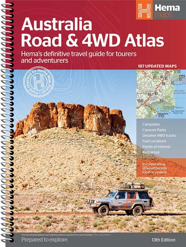
Large-format spiral-bound atlas of Australia published by Hema Maps.

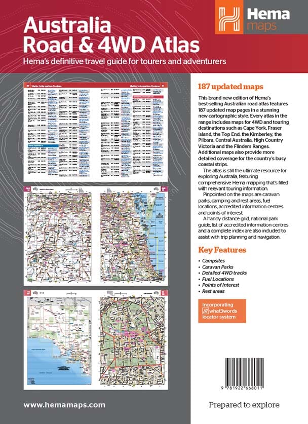
This atlas contains detailed maps of all regions of Australia (including national parks, forests and state parks, campsites, and rest areas) and maps of many cities and tourist attractions. Also included is a section with special maps for 4x4 vehicles and precise indications of tracks, camping, and caravanning areas.

This atlas includes maps of Cape York, Fraser Island, High Country Victoria, the Flinders Ranges, Central Australia, the Top End, the Kimberley, and the Pilbara region. Includes a city index, highway guide, and distance table. 224 pages.


ISBN/EAN : 9781922668011
Publication date: 2021
Pagination: 224 pages
Scale: Various scales
Folded dimensions: 25.2 x 34.5 x 1.5cm
Language(s): English
Weight: 1390 g

Customer Reviews

Based on 1 review
100%
(1)
0%
(0)
0%
(0)
0%
(0)
0%
(0)
J
Jean B. (Le Creusot, FR)
Très complet et pratique !

Dans la perspective d'un road trip en Australie, cet Atlas est complémentaire au GPS et indispensable en cas d'aléas routier (déviation, route coupée...). Il est clair, facilement lisible avec des échelles adaptées selon les trajets et topographies (désert, ville...). Les plans des villes sont un plus très appréciable. Top cet Atlas ! Je recommande.