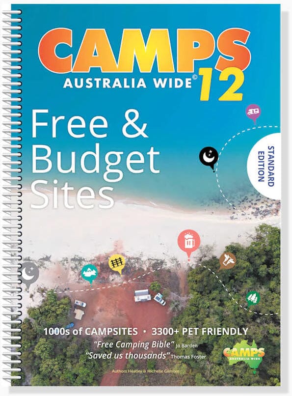
Australian Road Atlas and Campsite Guide - Camps Australia Wide 12 (A4 size) | Hema Maps

Price
Regular price $96.00
Regular price Sale price $96.00
Save $-96
/
  • Shipping within 24 working hours from our warehouse in France
  • Delivery costs calculated instantly in the basket
  • Free returns (*)
  • Real-time inventory
  • In stock, ready to ship
  • Backordered, shipping soon
Tax included.

Often purchased together:

Spiral-bound Atlas of Australia, A4 format, published by Hema Maps, which contains detailed maps of all regions of Australia, from the Northern Territory to New South Wales, including Queensland, with indications of national parks, forests and state parks, free campsites, rest areas. This comprehensive atlas also includes a detailed campsite guide categorized by region, with detailed information (map location, GPS coordinates, prices, amenities, tents, campervans, etc.).

Discover hidden gems in every corner of Australia with Camps 12 - with a greater focus than ever on free and low-cost sites.

Includes all types of campsites, including unique outback and remote campsites, farm stays and showgrounds, national parks and state forest sites, budget caravan parks, pet-friendly sites, and much more across Australia.

- Distance chart and town index included.
- GPS locations of each site
- Detailed information on amenities
- Map atlas for navigation

Our Review: An atlas of A reference for camping and road trips in Australia. Also available in very large format.


ISBN/EAN : 9780994532763
Publication date: 2023
Pagination: 478 pages
Scale: Various scales
Folded dimensions: 29.7 x 23 x 2.5cm
Language(s): English
Weight: 788 g

Customer Reviews

Based on 1 review
100%
(1)
0%
(0)
0%
(0)
0%
(0)
0%
(0)
b
brigit T. (Bourges, FR)
Excellent

D'une grande utilité pour établir mon road trip. Les cartes sont parfaite. La liste des camps impressionnante. Merci