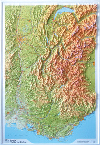
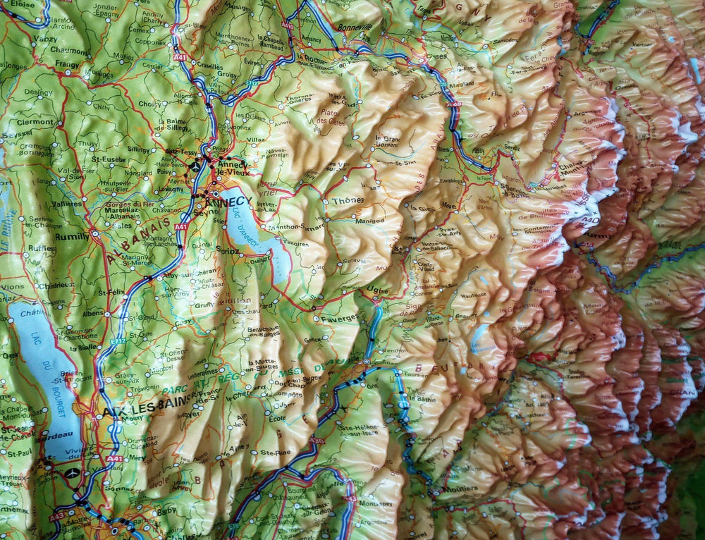
Road map - Alps (Austria, Slovenia, Italy, Switzerland, France) | Freytag & Berndt

Price
Regular price $14.00
Regular price Sale price $14.00
Save $-14
/
  • Shipping within 24 working hours from our warehouse in France
  • Delivery costs calculated instantly in the basket
  • Free returns (*)
  • Real-time inventory
  • In stock, ready to ship
  • Backordered, shipping soon
Tax included.

Often purchased together:

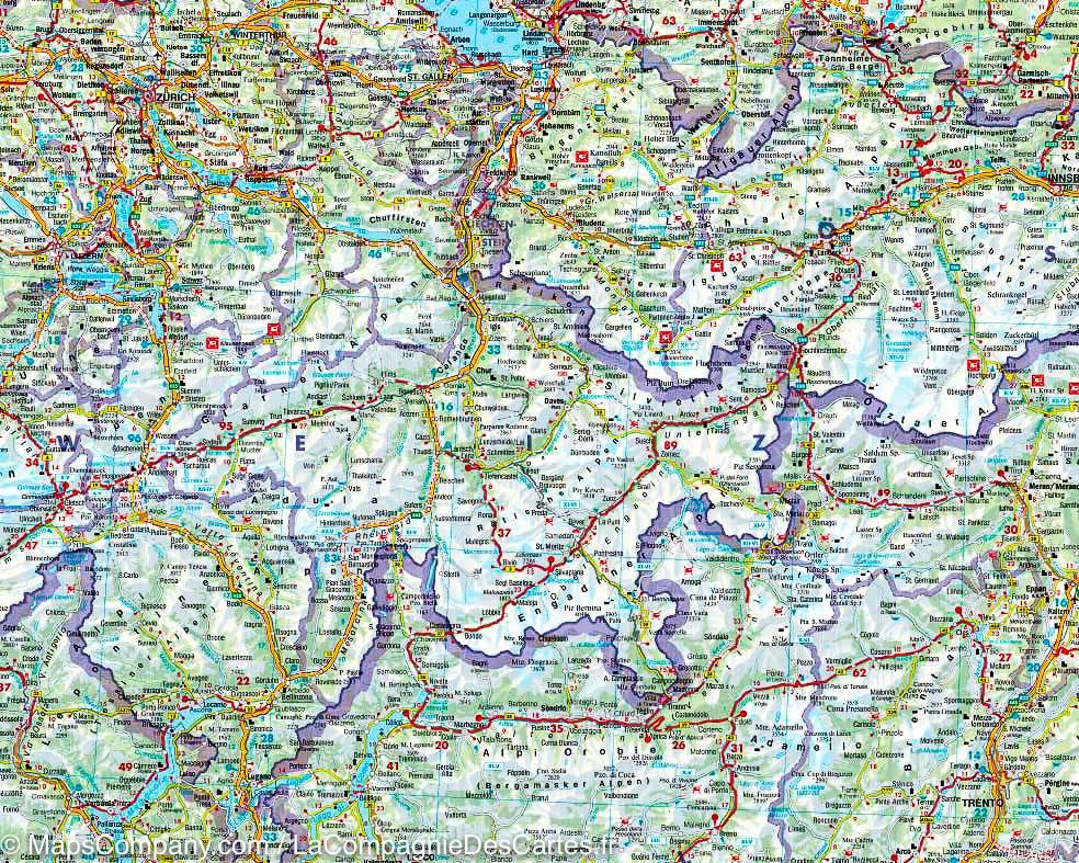
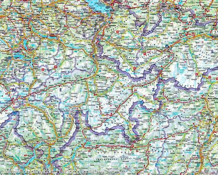
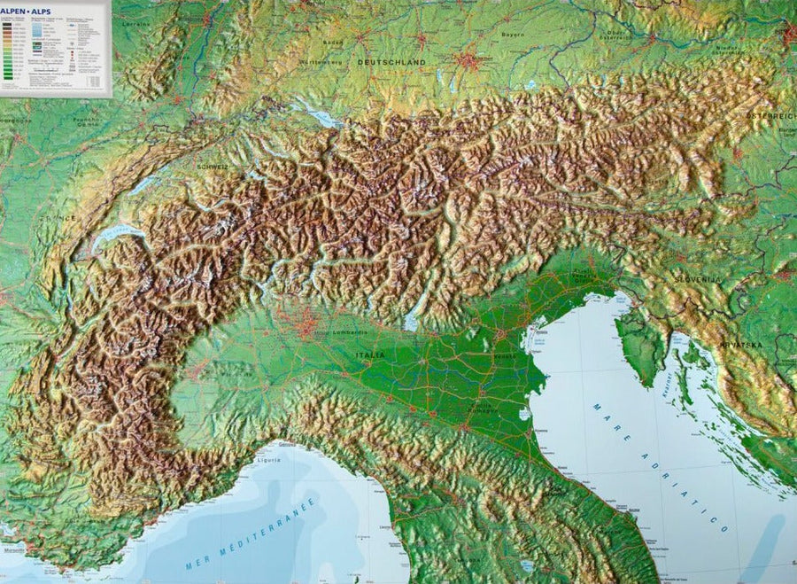
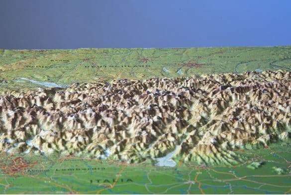
Road map of all the Alps (Austria, Slovenia, Italy, Switzerland, France) published by Freytag & amp Berndt. Relief mapping, indication of points of interest and index of cities included. The distances are indicated on this map.
This detailed map of the Alps makes it possible to have a complete view of this European mountain massif.
Scale 1/800 000 (1 cm = 8 km).


ISBN/EAN : 9783707922509
Publication date: 2024
Scale: 1/800,000 (1cm=8km)
Printed sides: front
Folded dimensions: 25.6 x 13 x 0.8cm
Language(s): Czech, Dutch, English, French, German, Italian, Polish, Slovak, Spanish
Weight: 110 g

Customer Reviews

Based on 13 reviews
62%
(8)
23%
(3)
8%
(1)
8%
(1)
0%
(0)
E
Eric (Maule, FR)
Parfait

Livraison protégée, carte parfaite

J
Jean M.M. (Sanary-sur-Mer, FR)
Vision

T’es belle carte routière pour ceux qui voient la route par eux mêmes et non par leur gps …

O
Olivier N. (Bagnols-sur-Ceze, FR)

Carte très difficile à lire.
Les caractères sont vraiment très très petits

j
jacques T. (Ferney-Voltaire, FR)
Idéale pour notre road trip

Un projet pour les dolomites par la furka Innsbruck et le Tyrol autrichien , cette carte correspond tout à fait à notre projet sur un seul document 👍👍👌

s
stephane L. (Patay, FR)
Road trip moto

Carte idéale pour préparer des road trip dans les Alpes . Je recommande.