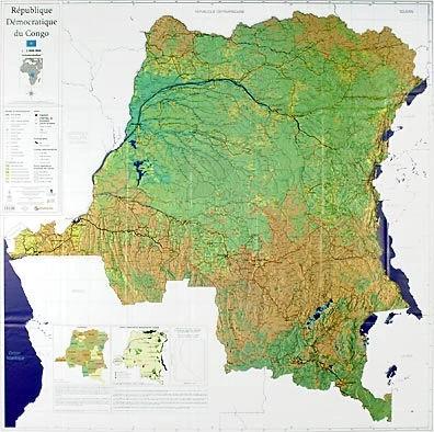
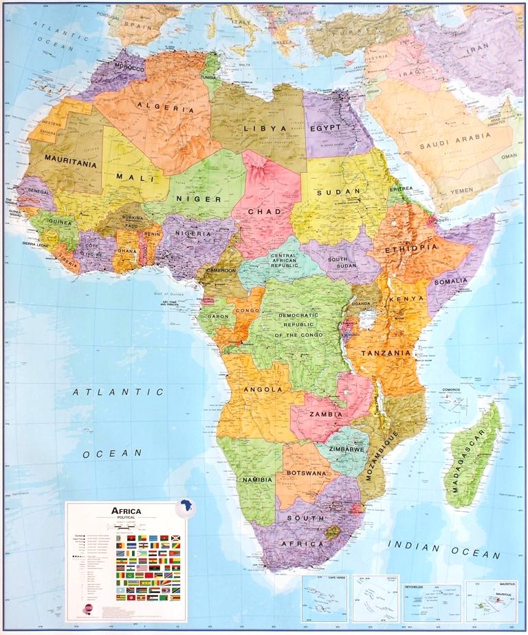
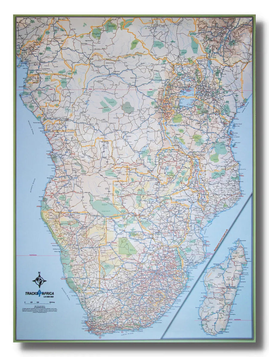
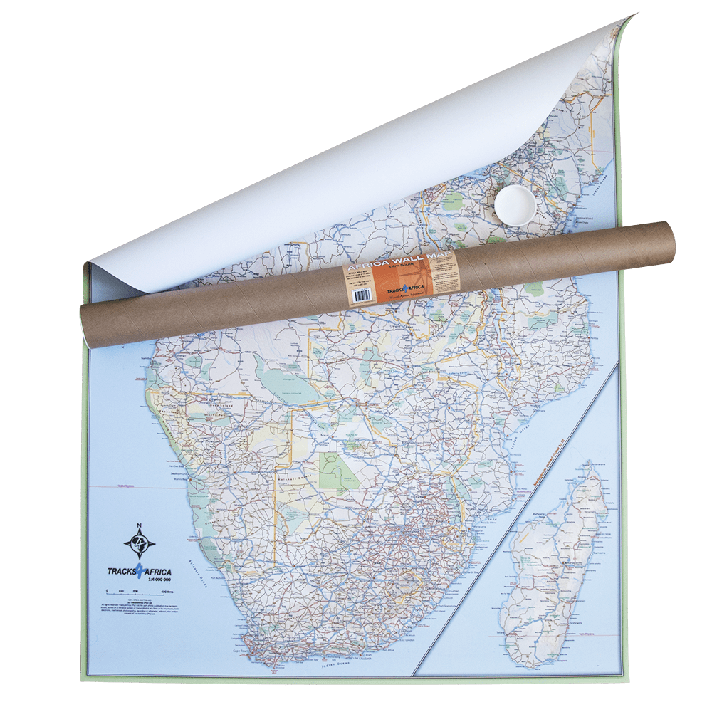
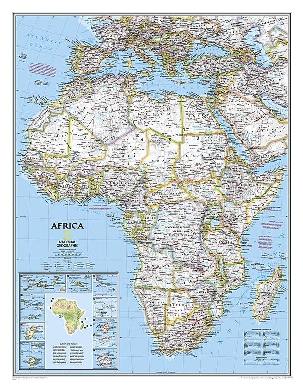
Wall Map of the Democratic Republic of Congo. On the basis of multiple collaborations and recent scientific acquis in the field of spatial remote sensing, the Geomatics Research Team from the Catholic University of Louvain brought together all map data on the territory of the DR Congo. Existing digital data have been checked updated, enriched from all sources available and integrated into a Geographic Information System (GIS). Original information has been produced combining the most recent techniques of satellite earth observation and field knowledge of many national and international collaborators. P>
This work, allowed the realization of a new national map at 1: 2,000,000 including all the basic map information (road, city and village, rivers, infrastructure, ...). This should help support national policies in multiple areas. P>
Note: For this map, an additional a few days may be required for shipping. b> p>
ISBN / EAN : 5425013061698
Poids :
150 g