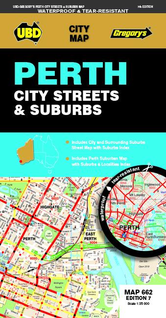
Perth Map (City Streets & Suburbs) edited by UBD Gregory's.
publisher's description:
The Latest Edition of the Perth City Streets and Suburbs City Map Has Been Fully Revised Street Level Mapping of Perth and Surrounding Suburbs at a Scale of 1: 25 000 with Coverage from Westminster in the North, Coolbellup in The South, Maylands in the East and Along The Coast from Trigg in the North to Fremantle in the South.
- There is Also Perth Suburban Coverage at a Scale of 1: 100 00 WITH COVERAGE FROM BULLSBROOK IN THE NORTH, NORTH DANDALUP IN THE SOUTH, THE LAKES IN THE EAST AND ALONG THE COAST FROM QUINNS ROCKS IN THE NORTH TO MANDURAH IN THE SOUTH WITH Insets for the Towns of Pinjarra and Yanchep.
- WITH ALL THIS INFORMATION CONTAINED IN ONE CONVENENT FOLD OUT MAP IT IS AN ESSENTIAL TOOL WHEN TRAVELING IN AND AROUND THE PERTH REGION.
ISBN/EAN : 9780731931194
Publication date: 2018
Scale: 1/5000 (1cm=50m) & 1/114000
Folded dimensions: 12 x 23cm
Language(s): English
Weight:
53 g