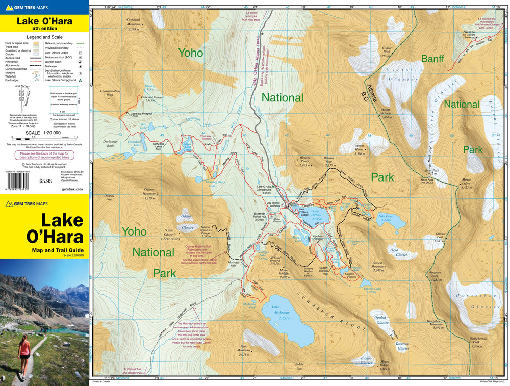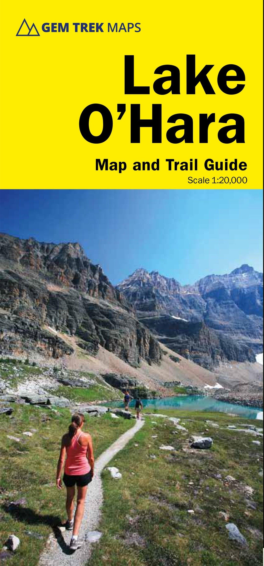
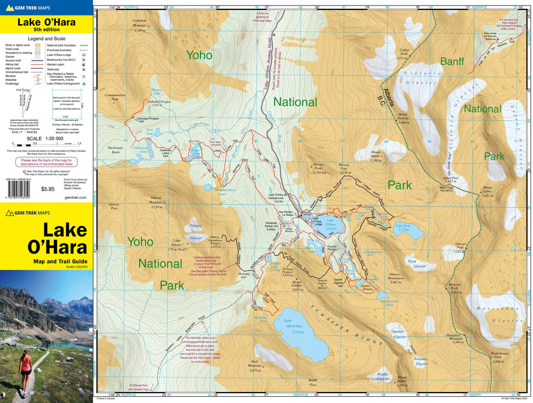
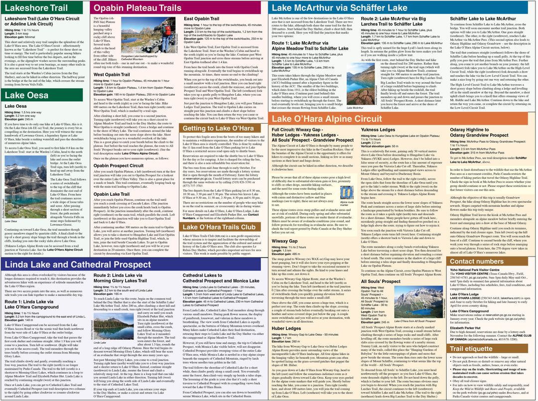
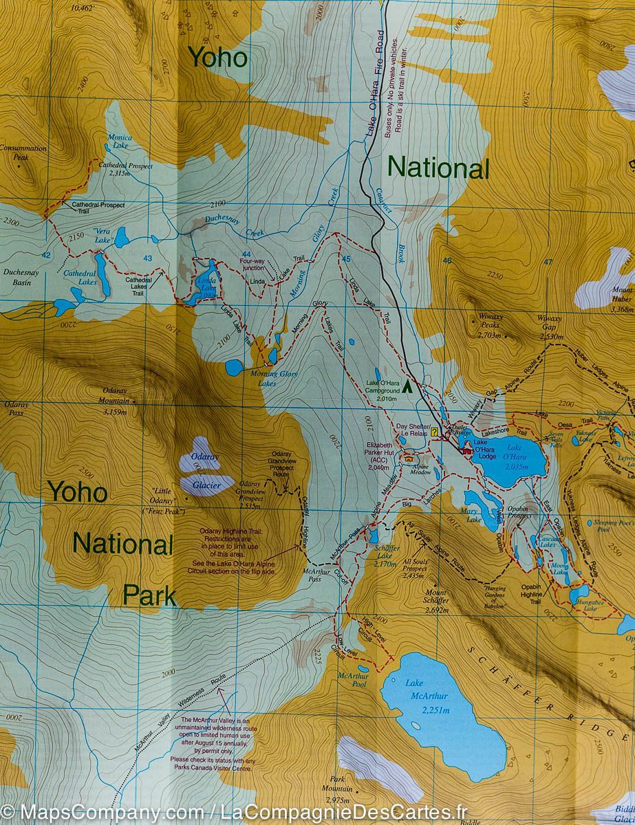
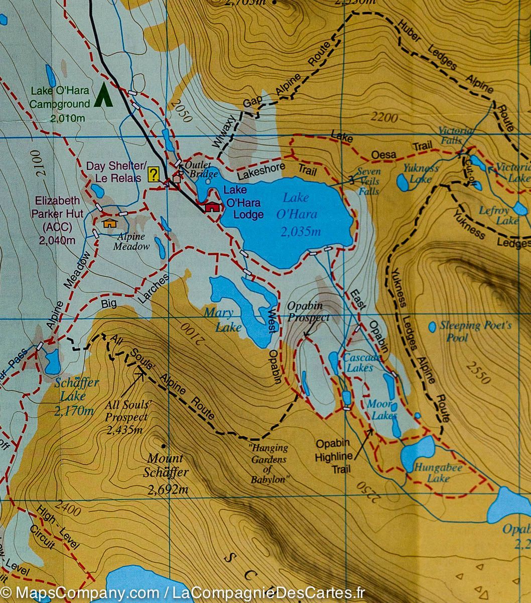


Hiking map - Lake O'Hara (PN Yoho, British Columbia) | Gem Trek
Regular price
$10.00
Regular price
Sale price
$10.00
Save $-10
/
- Shipping within 24 working hours from our warehouse in France
- Delivery costs calculated instantly in the basket
- Free returns (*)
- Real-time inventory
- In stock, ready to ship
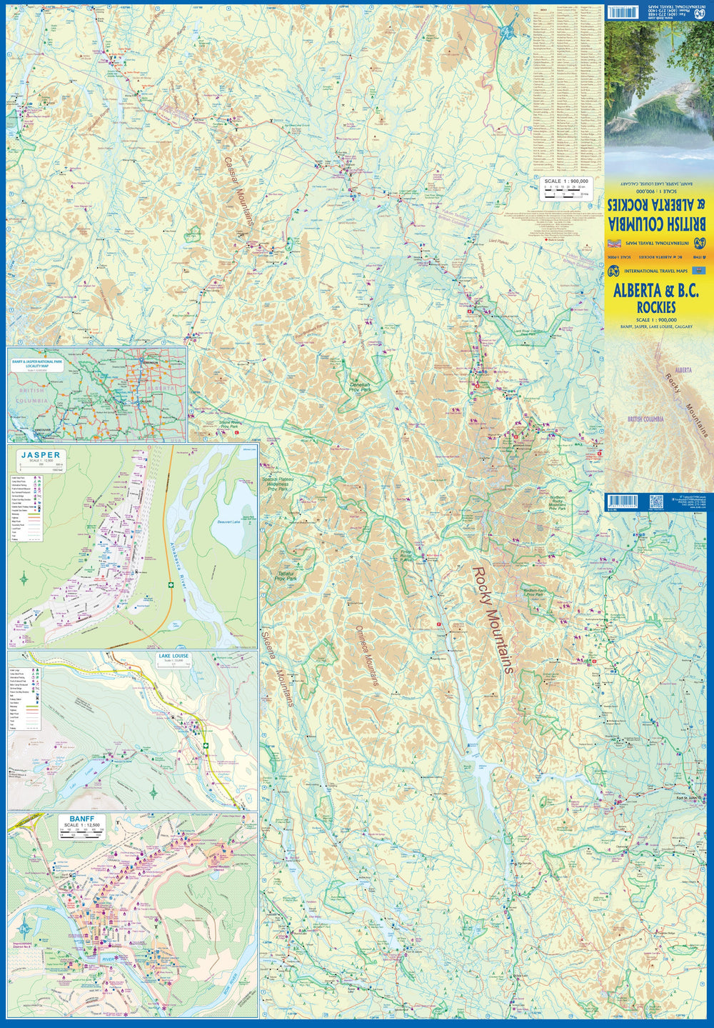
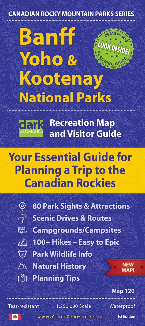
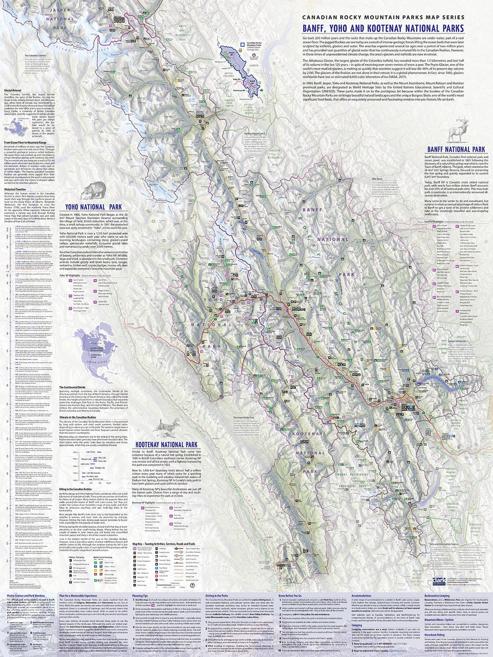
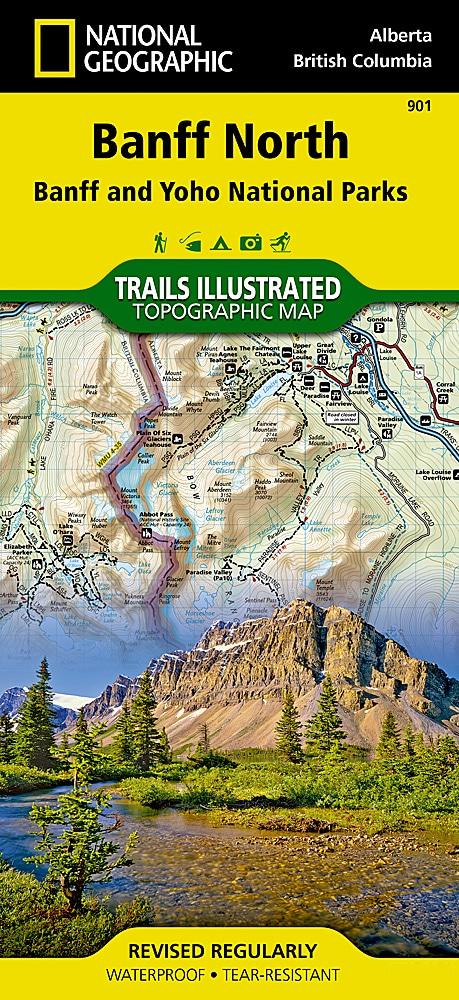
Related geographic locations and collections: British Columbia, Canadian rockies, Western Canada, Yoho National Park