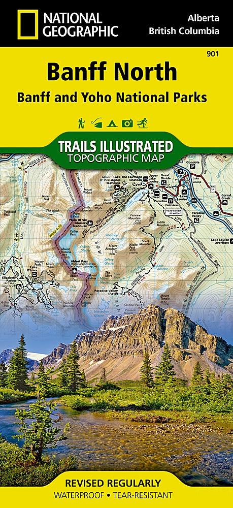
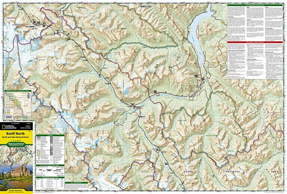
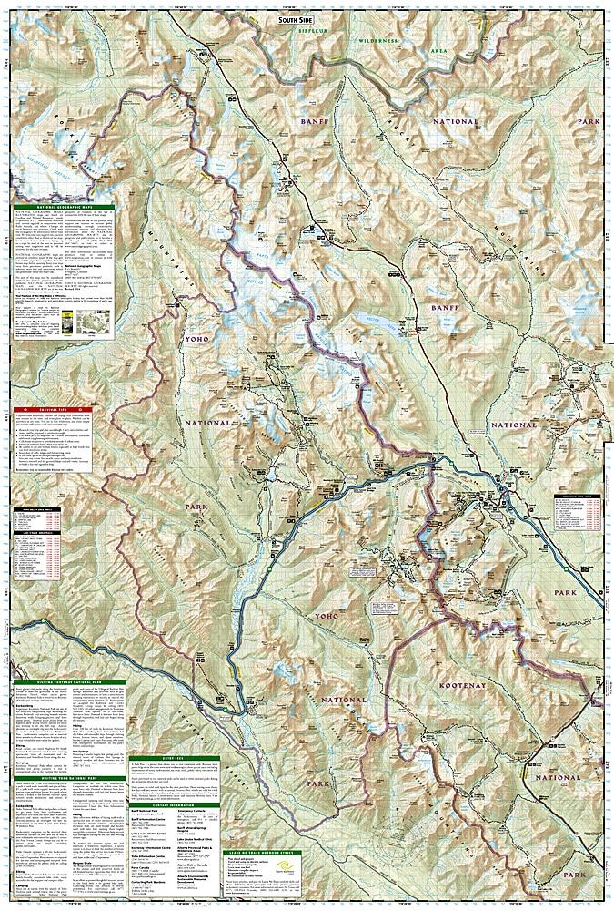
Carte de randonnée - Banff Nord (Banff & Yoho National Parks) | National Geographic - La Compagnie des Cartes

Hiking Map - Banff Nord (Banff & Yoho National Parks) | National Geographic

Hiking Map - Banff Nord (Banff & Yoho National Parks) | National Geographic

Regular price $18.00
/
  • Shipping within 24 working hours from our warehouse in France
  • Delivery costs calculated instantly in the basket
  • Free returns (*)
  • Real-time inventory
  • In stock, ready to ship
  • Backordered, shipping soon
Tax included.

Topographic Map of Banff and Jasper National Parks (Canadian Rockies) published by National Geographic. Level curves, indication of trekking paths, places of accommodation (campsites), bases of range. The map covers the northern and west regions of Banff National Park as well as the Yoho and Kootenay National Parks, White Goat Wilderness Areas, Kootenay Plains Park Park and the southeast end of Jasper National Park.

Detailed waterproof and tearing resistant.

1/100 000 scale (1 cm = 1 km)


ISBN/EAN : 9781566956598
Publication date: 2020
Scale: 1/100,000 (1cm=1km)
Printed sides: both sides
Folded dimensions: 23.5 x 10.9cm
Unfolded dimensions: 95x65cm
Language(s): English
Poids : 89 g

Customer Reviews

No reviews yet
0%
(0)
0%
(0)
0%
(0)
0%
(0)
0%
(0)