


Blue Ridge Parkway Recreation Map | Benchmark Maps
Regular price
$11.00
Regular price
Sale price
$11.00
Save $-11
/
- Shipping within 48 business hours from our warehouse in the USA. For this product, customs fees may be requested by the carrier upon delivery.
- Delivery costs calculated instantly in the basket
- Free returns (*)
- Real-time inventory
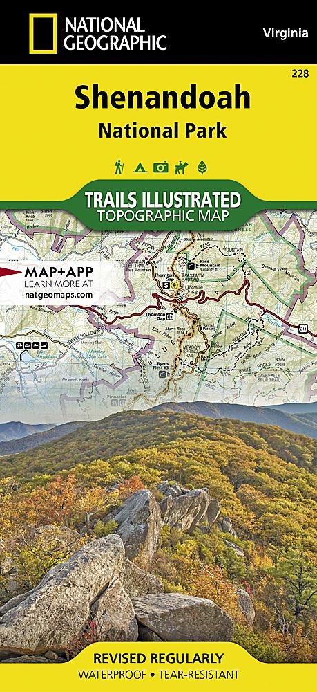
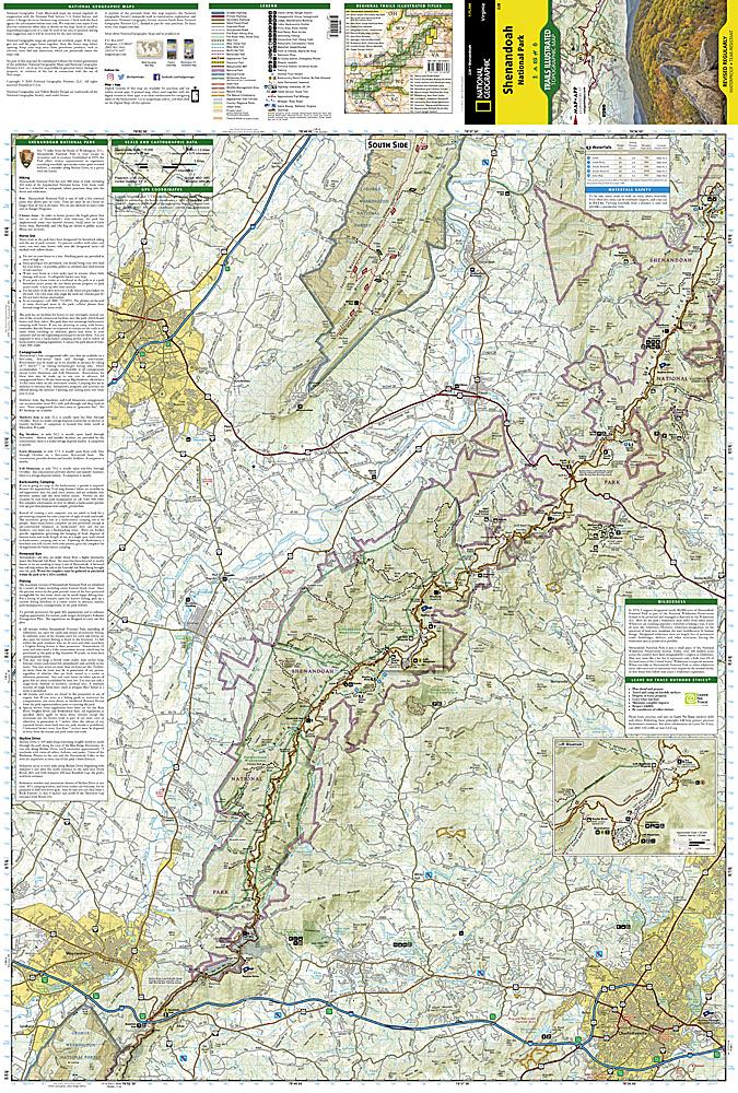
Related geographic locations and collections: Great Smoky Mountains National Park, North Carolina, Shenandoah National Park, Virginia
![Jefferson National Forest [Map Pack Bundle] | National Geographic carte pliée](http://mapscompany.com/cdn/shop/products/foret-nationale-de-jefferson-pack-de-cartes-national-geographic-carte-pliee-national-geographic-882355.jpg?v=1694456994&width=900)
![George Washington National Forest [Map Pack Bundle] | National Geographic carte pliée](http://mapscompany.com/cdn/shop/products/george-washington-national-forest-pack-de-cartes-national-geographic-carte-pliee-national-geographic-961093.jpg?v=1694457876&width=900)
![Appalachian Trail: Virginia, West Virginia, Maryland [Map Pack Bundle] | National Geographic carte pliée](http://mapscompany.com/cdn/shop/products/cartes-de-randonnee-appalachian-trail-virginia-west-virginia-maryland-pack-de-cartes-national-geographic-carte-pliee-national-geographic-980569.jpg?v=1694453800&width=900)