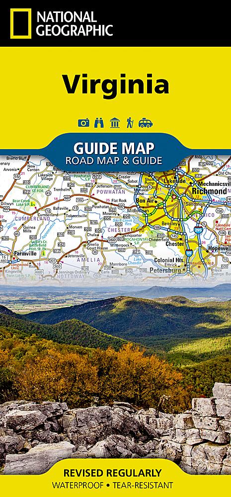
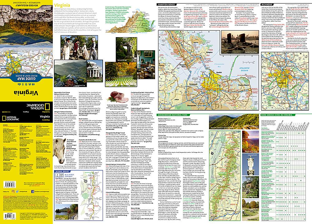
Map of Virginia State (USA) published by National Geographic. The map covers the entire state of the eastern United States.
This detailed map includes plans from the cities of Richmond, Charlottesville, Lynchburg, Roanoke, Hampton - Norfolk - Virginia Beach and Washington DC Region with its agglomeration, including Arlington and Alexandria, plus an enlargement of Shenandoah National Park.
Points of interest, tourist roads.
This map is waterproof and resistant to tearing.
ISBN/EAN : 9781597750608
Publication date: 2019
Scale: 1 / 1,100,000 (1cm = 11km)
Printed sides: both sides
Folded dimensions: 22.2 x 10.8cm
Unfolded dimensions: 63 x 46cm
Language(s): English
Weight:
43 g


