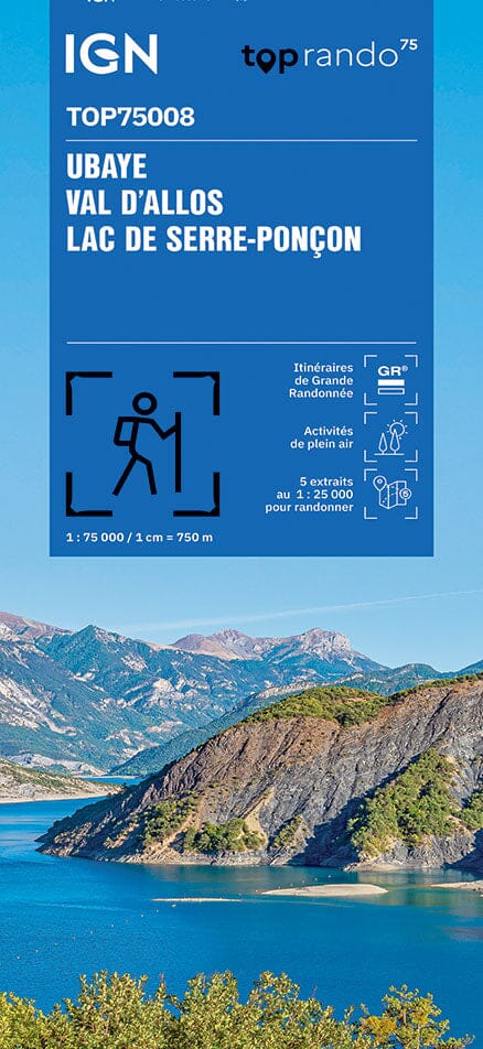
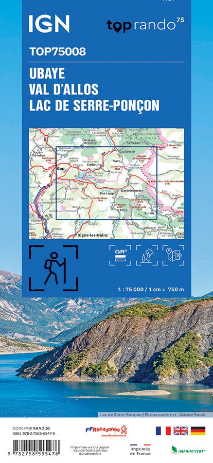
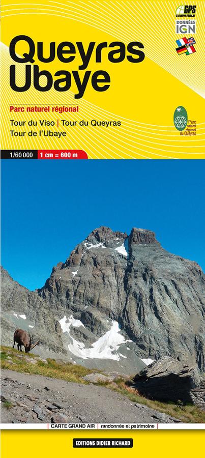
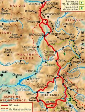
Carte IGN TOP 75 n° 8 - Ubaye, Val d'Allos & lac de Serre-Ponçon (Alpes) carte pliée IGN

IGN Top 75 # 8 - Ubaye, Val Allos & Lake Serre-Ponçon (Alps)

IGN Top 75 # 8 - Ubaye, Val Allos & Lake Serre-Ponçon (Alps)

Regular price $11.00
/
  • Shipping within 24 working hours from our warehouse in France
  • Delivery costs calculated instantly in the basket
  • Free returns (*)
  • Real-time inventory
  • In stock, ready to ship
  • Backordered, shipping soon
Tax included.
Ubaye Top 75 Top 75 map, Val Allos and Lake Serre-Ponçon edited by IGN. This detailed map covers the region between Orcières-Merlette and Allos (from North to South) and Lake Serre-Ponçon Larches (West East). Level curves, detailed legend and indication of hiking trails. Index of cities. This map includes 5 zooms on a scale 1 / 25,000 (1 cm = 250 m) to discover exceptional hikes.


ISBN/EAN : 9782758532712
Publication date: 2015
Scale: 1/75,000 (1cm=750m) & 1/25,000 (1cm=250m)
Printed sides: front
Folded dimensions: 24.6 x 11.2 x 0.7cm
Unfolded dimensions: 110x100cm
Language(s): French, English, German
Poids : 89 g

Customer Reviews

Based on 1 review
100%
(1)
0%
(0)
0%
(0)
0%
(0)
0%
(0)
M
Michel S. (Nice, FR)
Trop tard

Cartes arrivées trop tard je les ai eues au retour de mes vacances alors que IGN et RAKUTEN commandées en même temps ont été livrées à temps