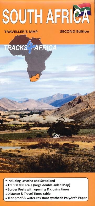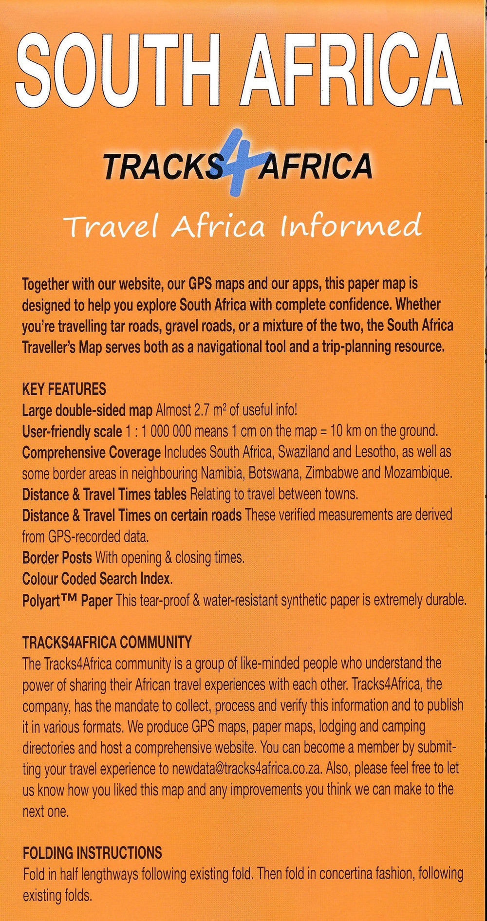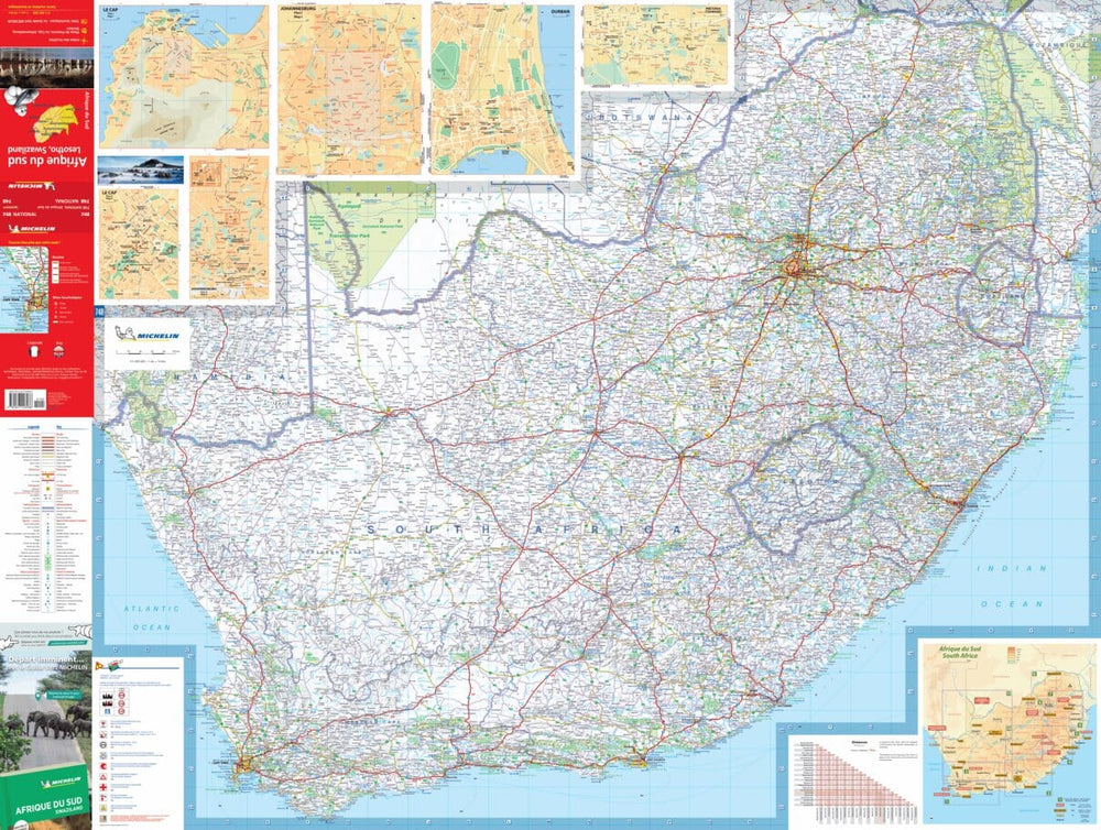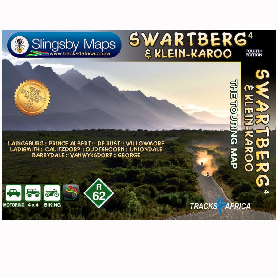
The map features excellent topographical detail and extensive tourist information, including street maps of ten major cities.
The map provides a very detailed image of this mountainous terrain, with elevation colors, shadows, contours at 20 m intervals and numerous point elevations. For GPS navigation, important road junctions and various other features are annotated with landmarks and the map has latitude and longitude lines at 5' intervals.
The road information is very detailed and shows road surfaces, private roads accessible to the public, 4x4 tracks, cattle grids and game fences, location of fuel stores, etc. Also indicated are the routes deemed pleasant or, on the contrary, boring by the editors. The railway lines are indicated with the stations. For hikers, the map indicates marked paths and other trails. A very wide range of symbols highlight various places of interest and tourist facilities: different types of accommodation, from hotels to campsites, picnic spots, farm stalls, wineries, restaurants, sports venues and recreational areas, animal observation sites, etc.
ISBN/EAN : 9781776322787
Publication date: 2023
Scale: 1/160,000 (1cm=1.6km)
Folded dimensions: 13 x 19cm
Language(s): English
Weight:
90 g