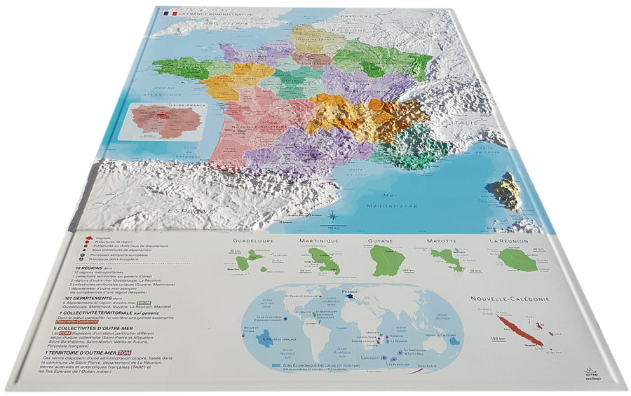
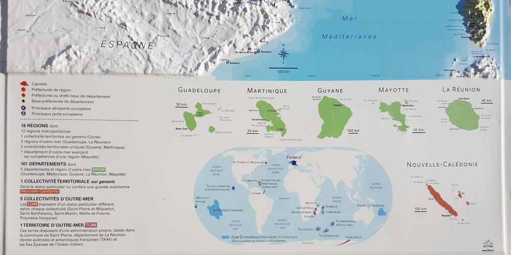
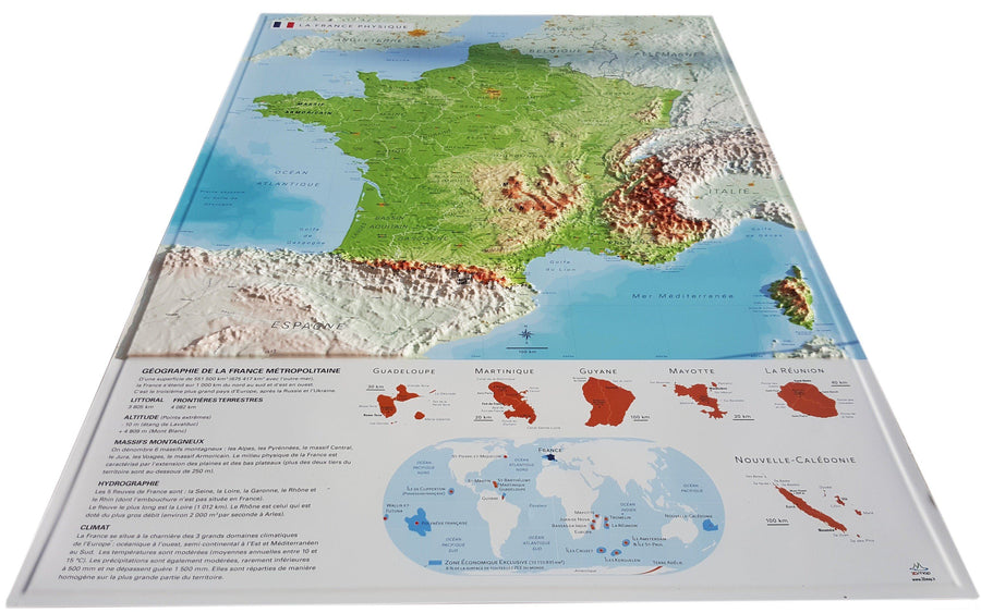
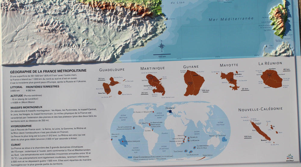
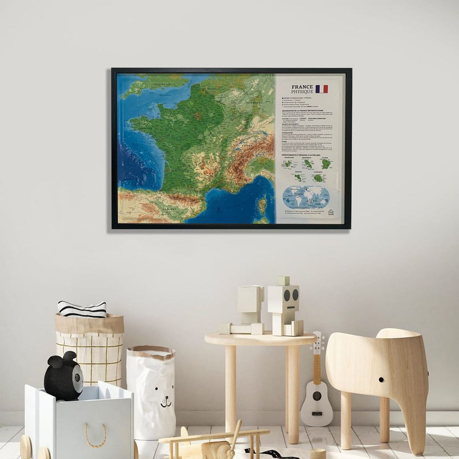
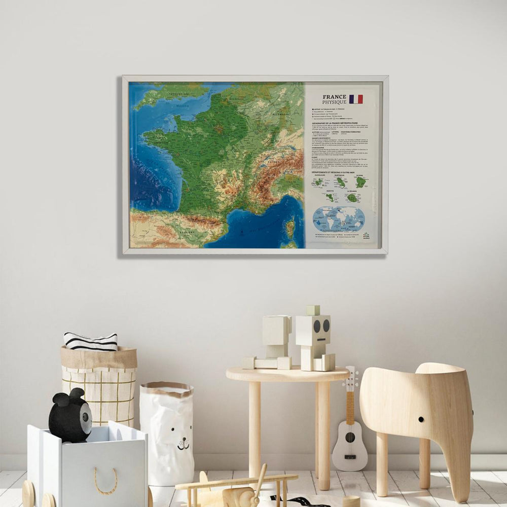
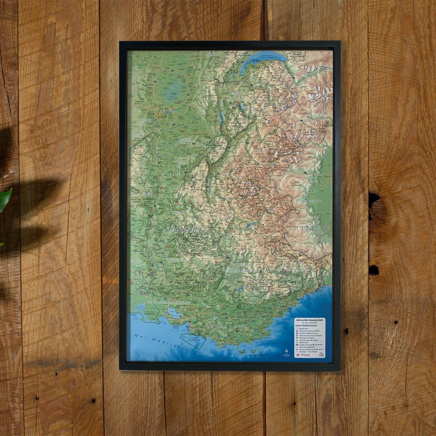
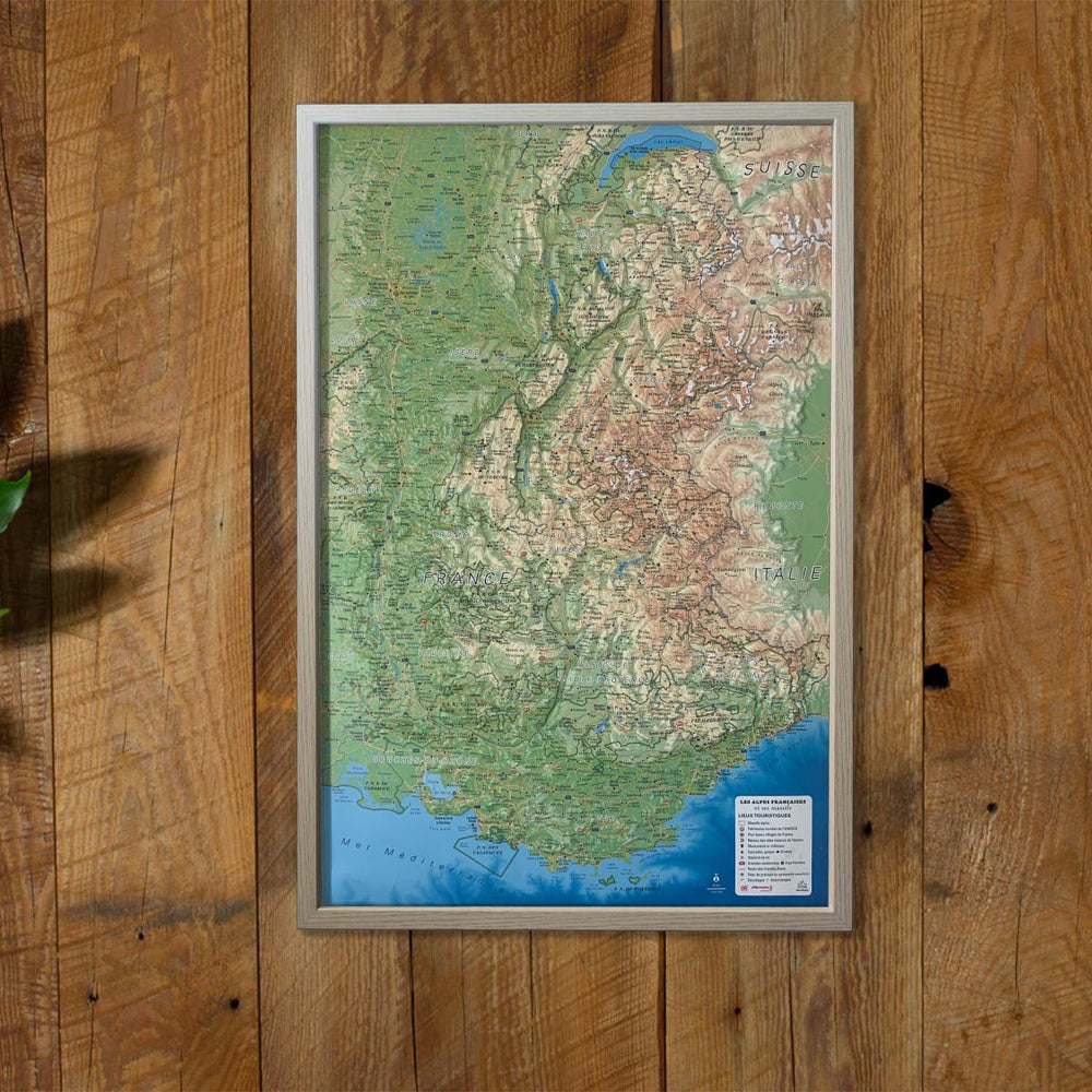
Relief wall map of Brittany published by 3D Map.
A finishing frame is also available as an option : We recommend it to make hanging easier and to highlight your card.
🌍 GENERAL INFORMATION:
Rivers, hills, forests: nature in all its diversity
Boundaries and territories: essential administrative landmarks
TOURIST ESSENTIALS
🌟 Iconic and tourist places
🖼️ Museums: a journey to the heart of culture and history
⛪ Religious heritage: churches, abbeys, places of remembrance
🌿 Natural sites: breathtaking landscapes
🏖️ Beaches: relaxation, fine sand and crystal clear waters
💦 Waterfalls: hidden gems in the heart of nature
🕳️ Caves: Underground Adventures and Geological Wonders
SPORTS SITES, HIKES
🥾 Long-distance hiking trails (GR): for hiking enthusiasts
🛌 Refuges & Gîtes: well-deserved rest in the heart of nature
🧗 Via Ferrata: thrills guaranteed
🌊 Dive sites
🪂 Paragliding (ffvl.fr): fly over breathtaking landscapes
Clearly identified take-off and landing areas
✈️ Airports & Airfields: Gateways to Adventure
📏 SCALES & DIMENSIONS
Planar scale: 1:250,000
Altimetric scale: 1:550,000
Card size: 61 cm x 41 cm
ISBN / EAN : 9791097206697
Date de publication : 2025
Echelle : 1/250,000 (1 cm = 2.5 km)
Dimensions déplié(e) : 61cm x 41cm
Langue : French
Poids :
136 g