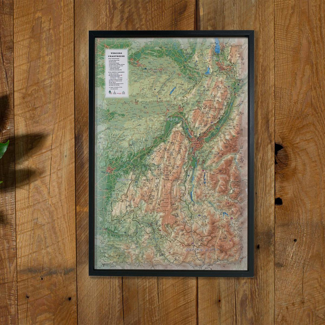
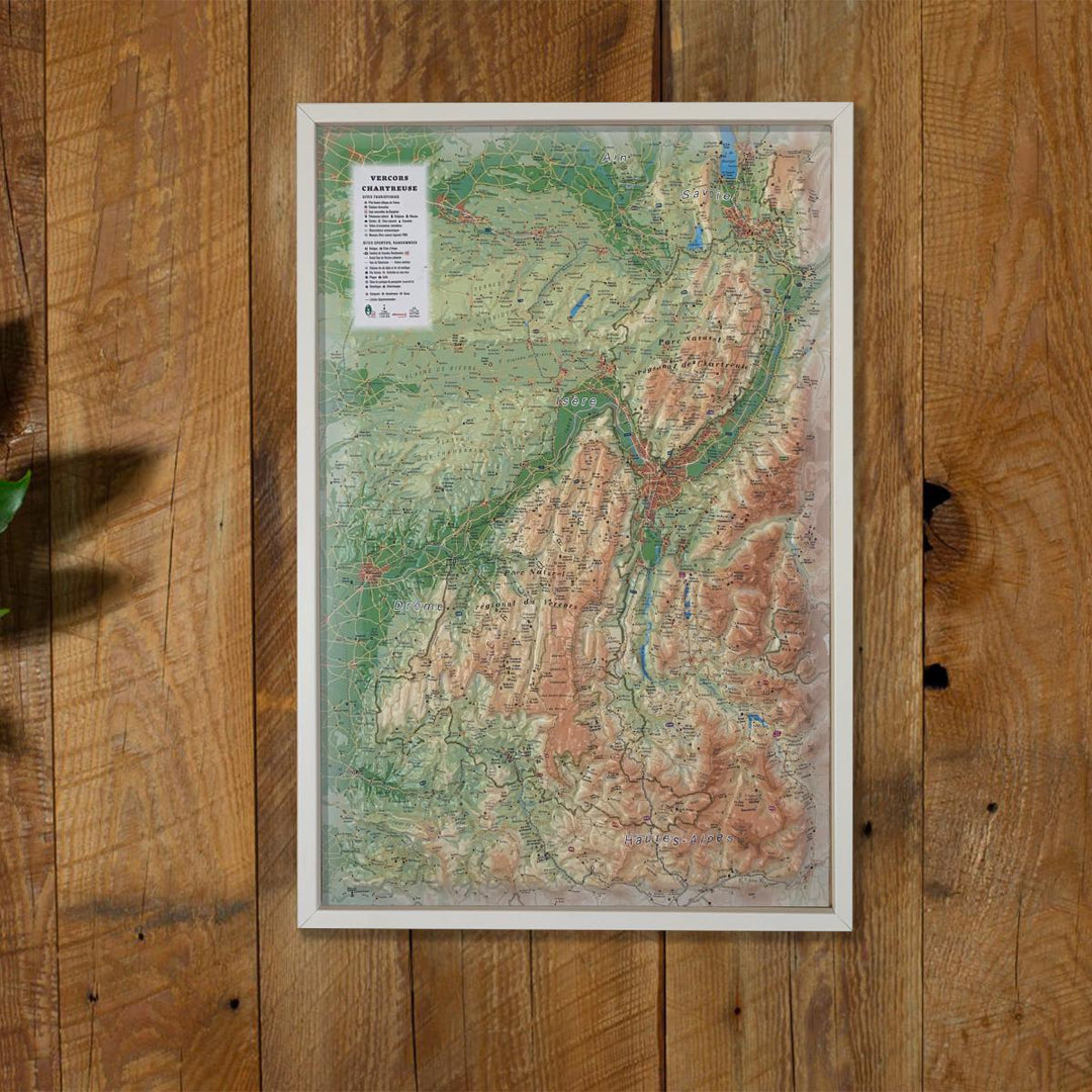
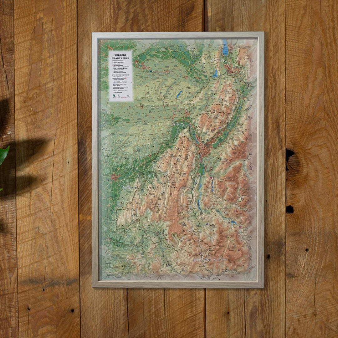
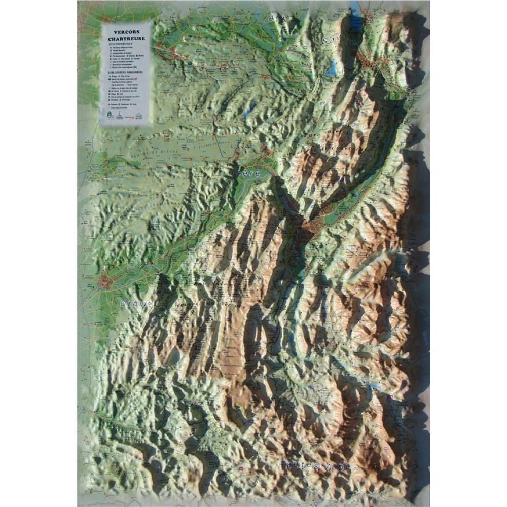
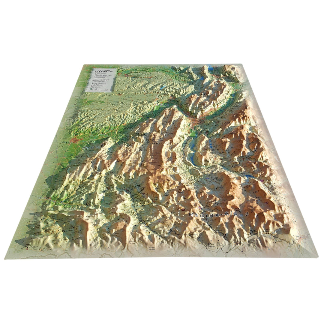
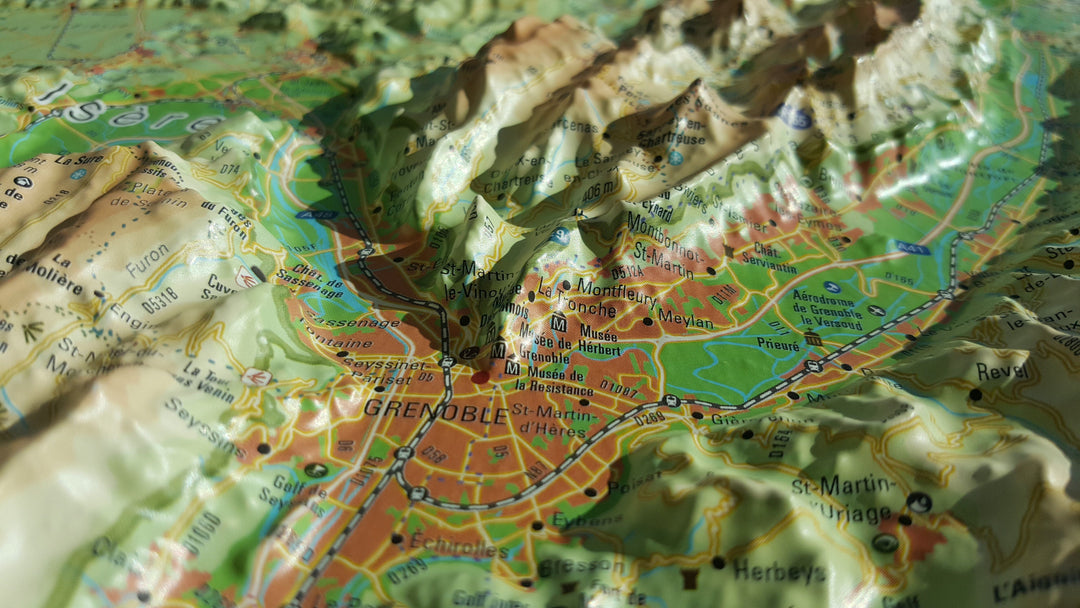
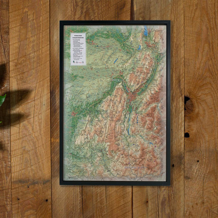
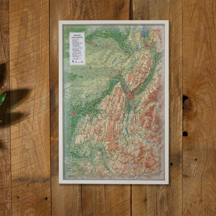
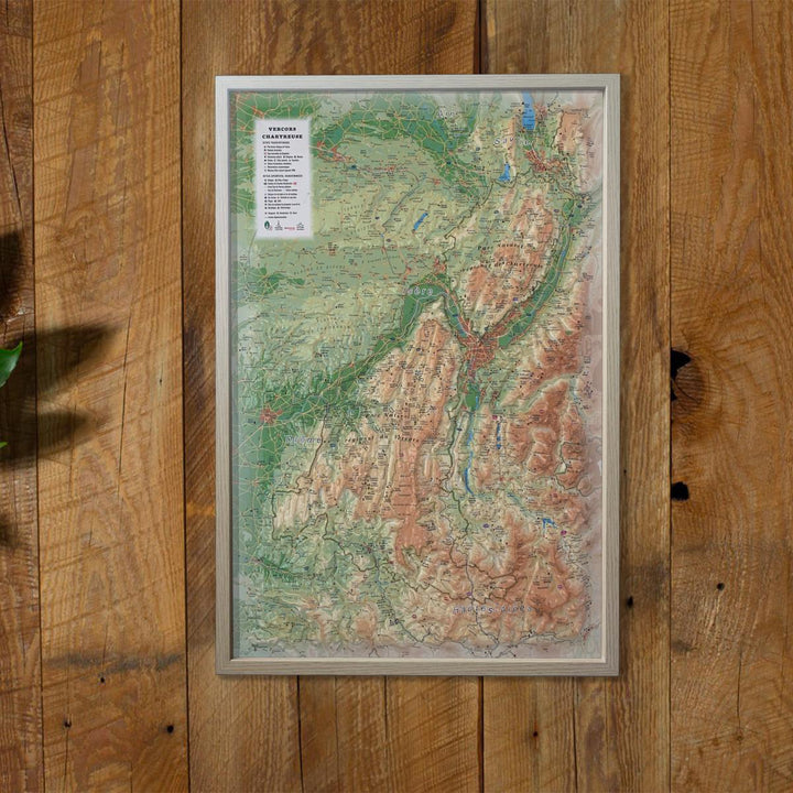
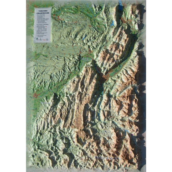
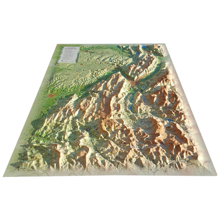
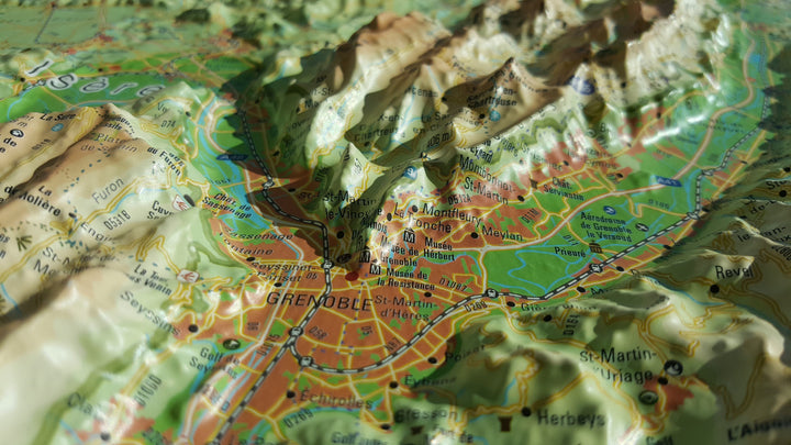
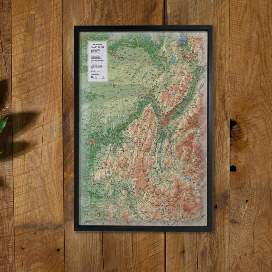
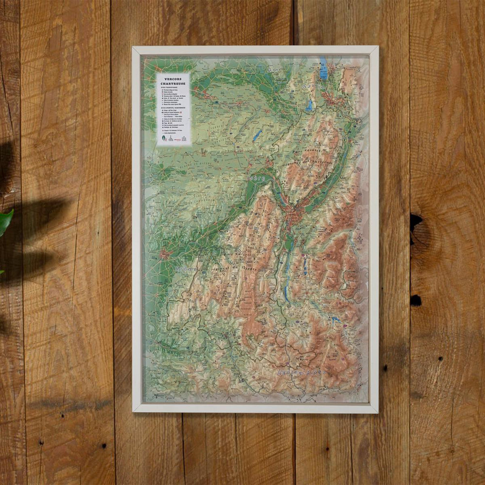
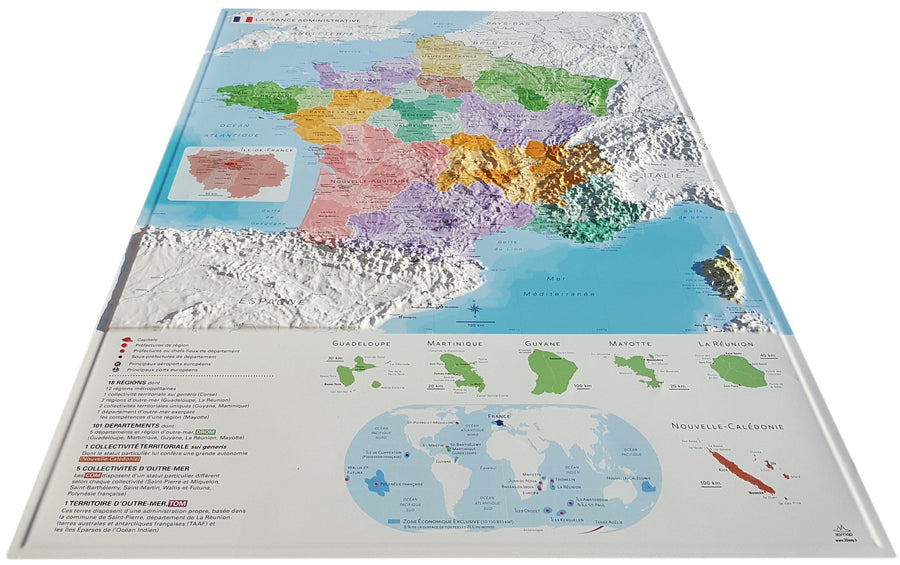
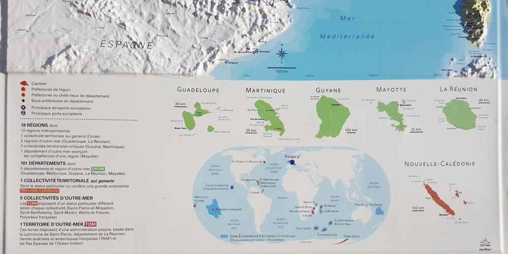
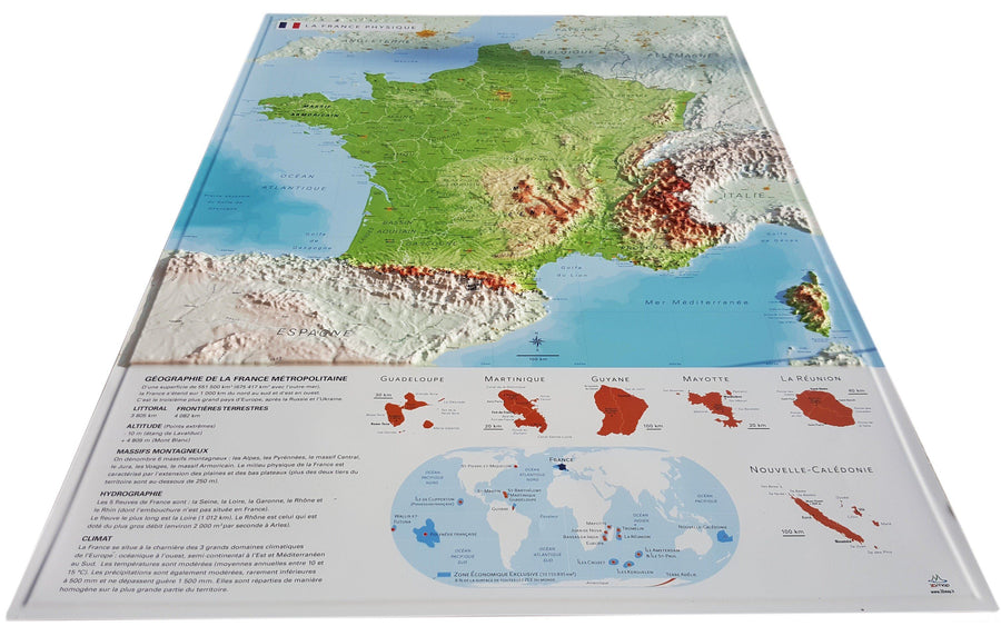
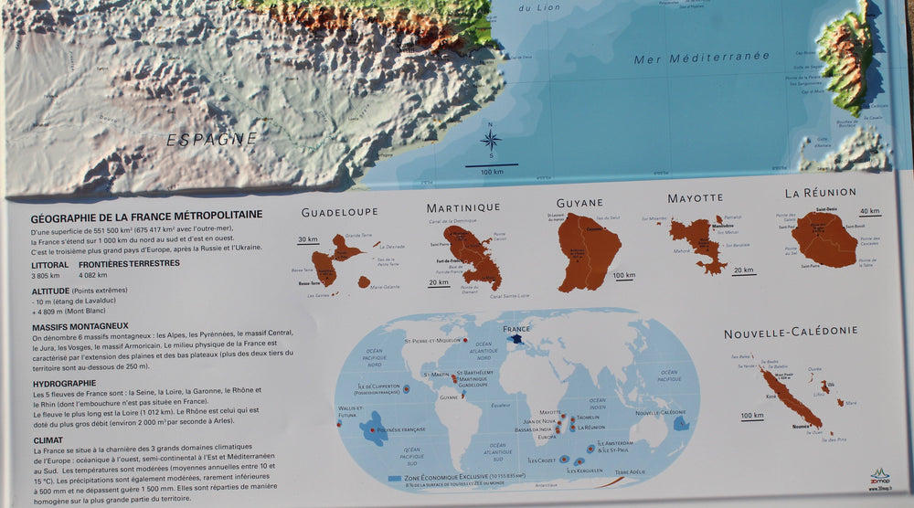
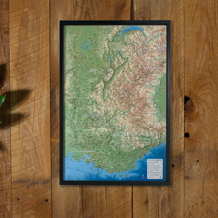
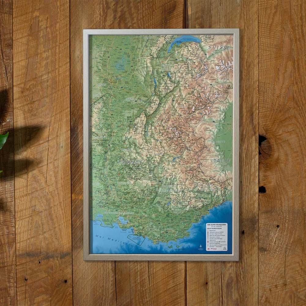
Relief wall map covering the Vercors and Chartreuse Regional Nature Parks
A finishing frame is also available as an option: We highly recommend it to make hanging easier and to enhance the appearance of your map.
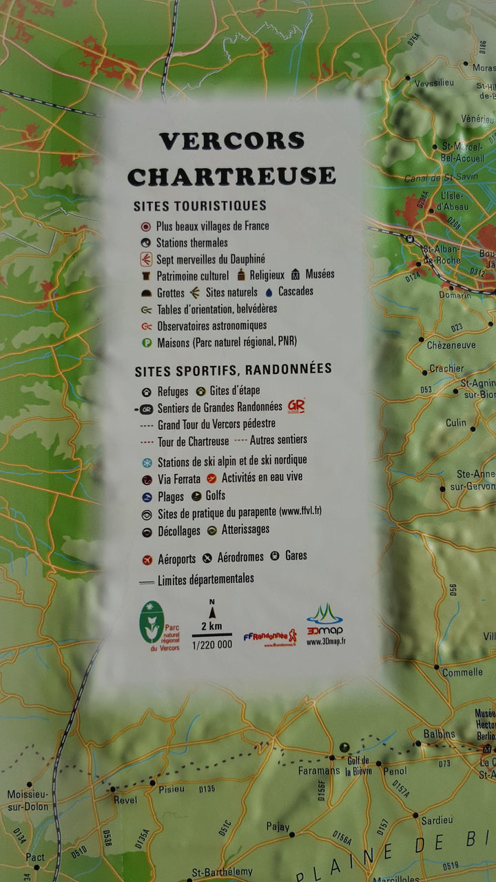
Information included on the map:
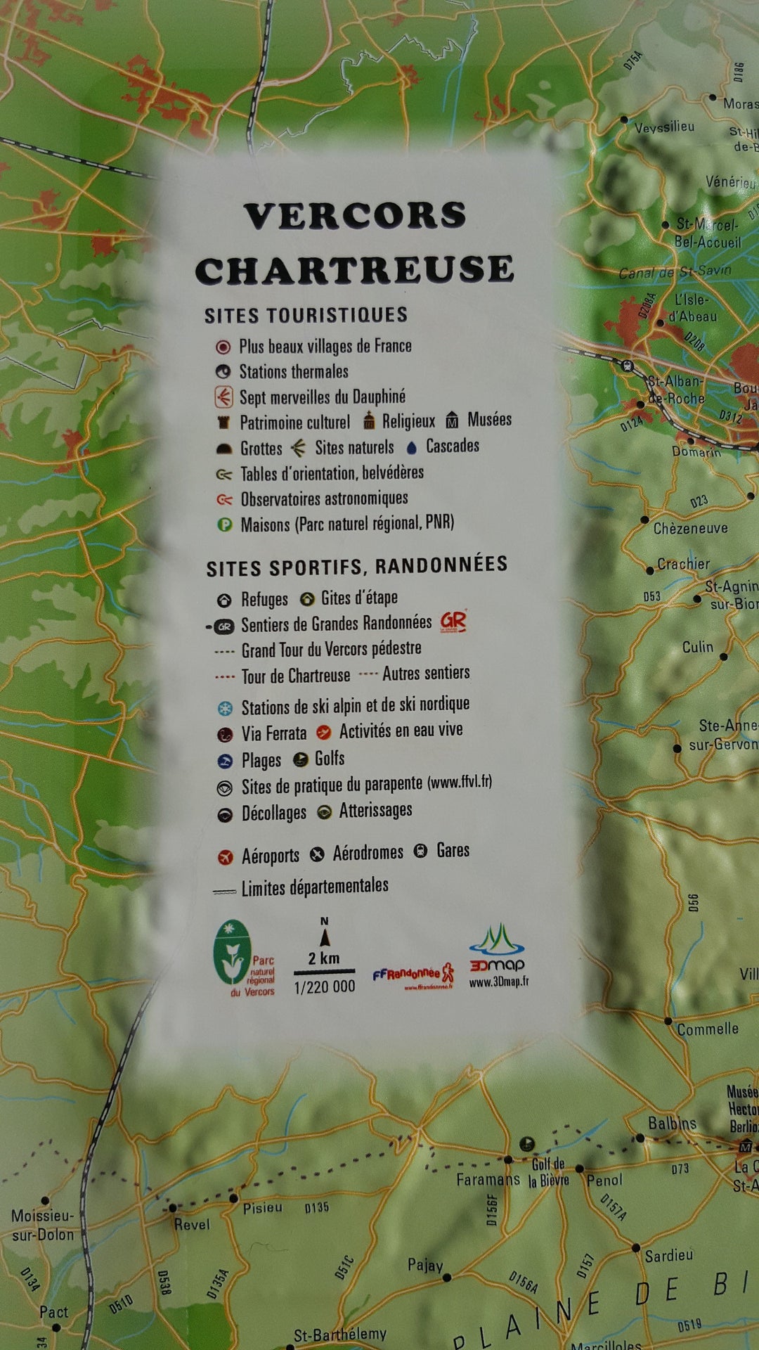
Legend:
• Hydrological, natural and hypSometric data - Administrative data
• Museums - The most beautiful villages in France - Golfs - The beaches - The Aerodromes - Stations - The Seven Wonders of Dauphiné
• Les Monuments and Castles of Legends - Religious Sites - Paragliding Practice Sites (Landing and Takeover)
• Waterfalls, Gorges and Caves
• Natural sites - GR - Large Tour of Vercors Pedestre - Tour de Chartreuse - Other integers - Live water activities - Alpine ski resort Nordic - Via Ferrata sites - live water activities
• Astronomical Observatories - Guidelines - Belvédesures - Refuges - Gites
• Scale 1: 220,000
• 61 cm x 41 cm
ISBN / EAN : 9791097206055
Date de publication : 2017
Echelle : 1/220,000 (1cm=2.2km)
Dimensions déplié(e) : 41cm x 61cm
Langue : French
Poids :
136 g


