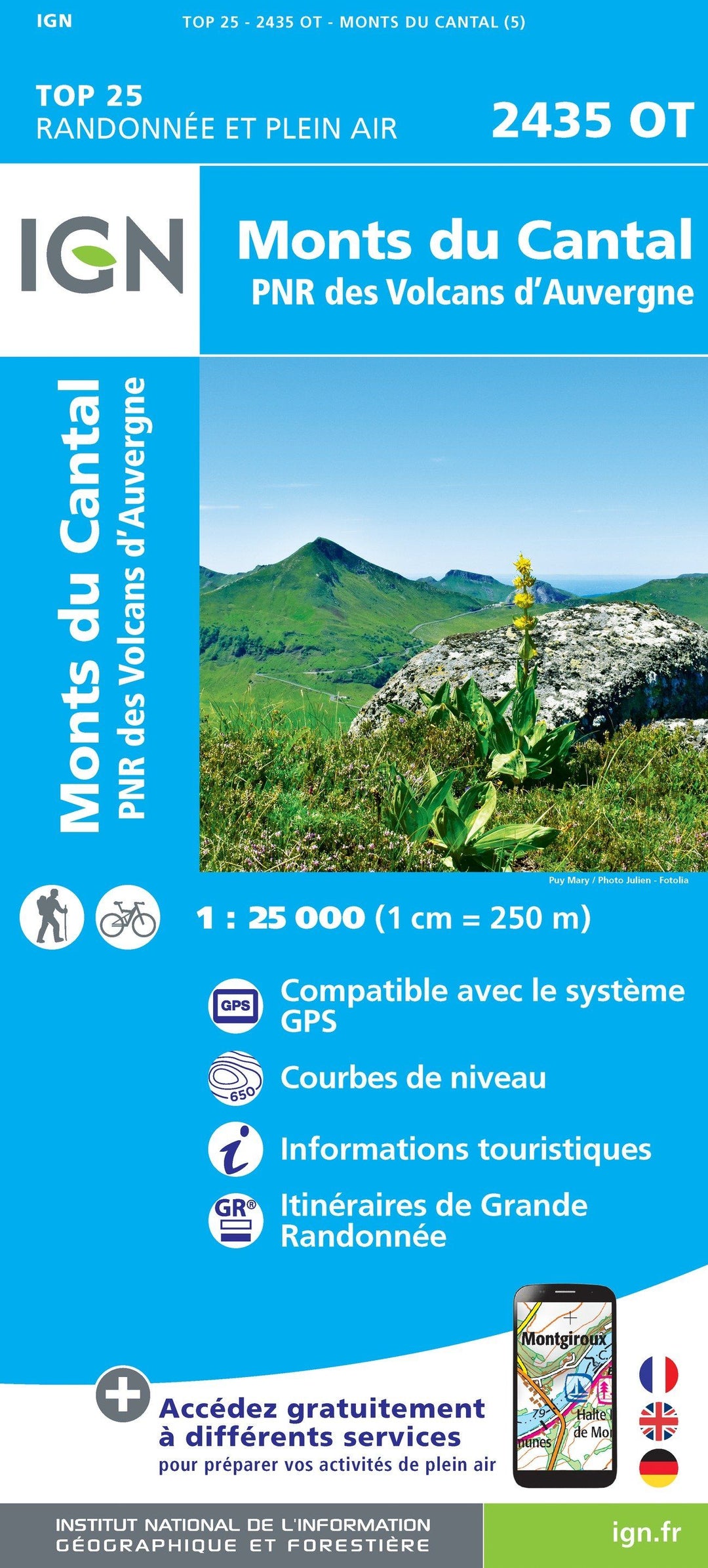
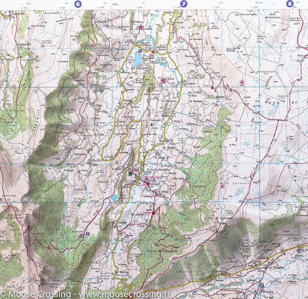
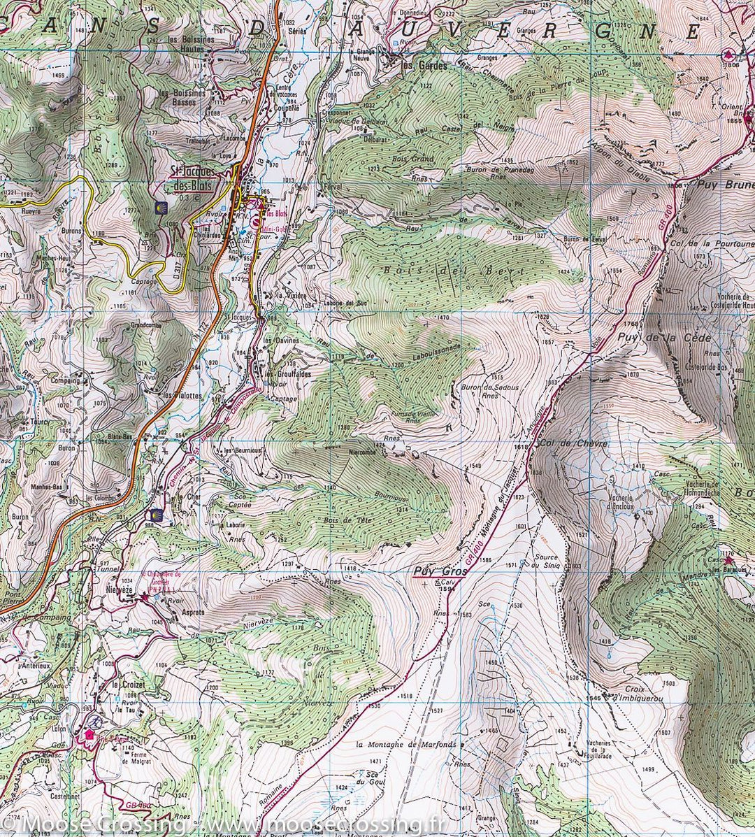
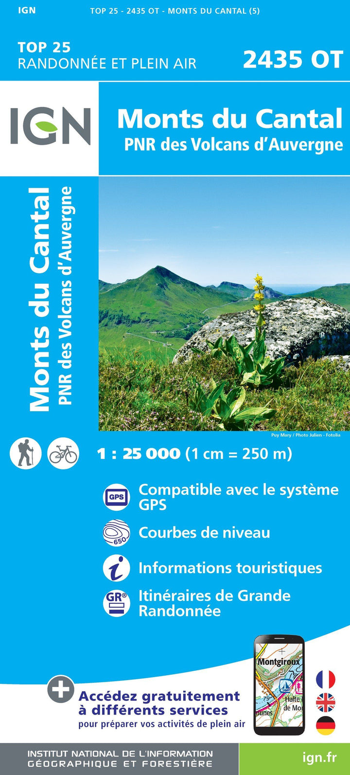
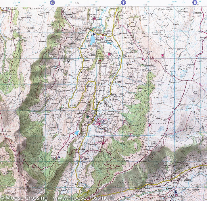
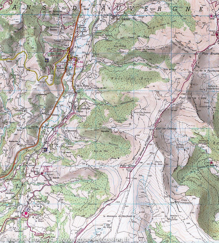
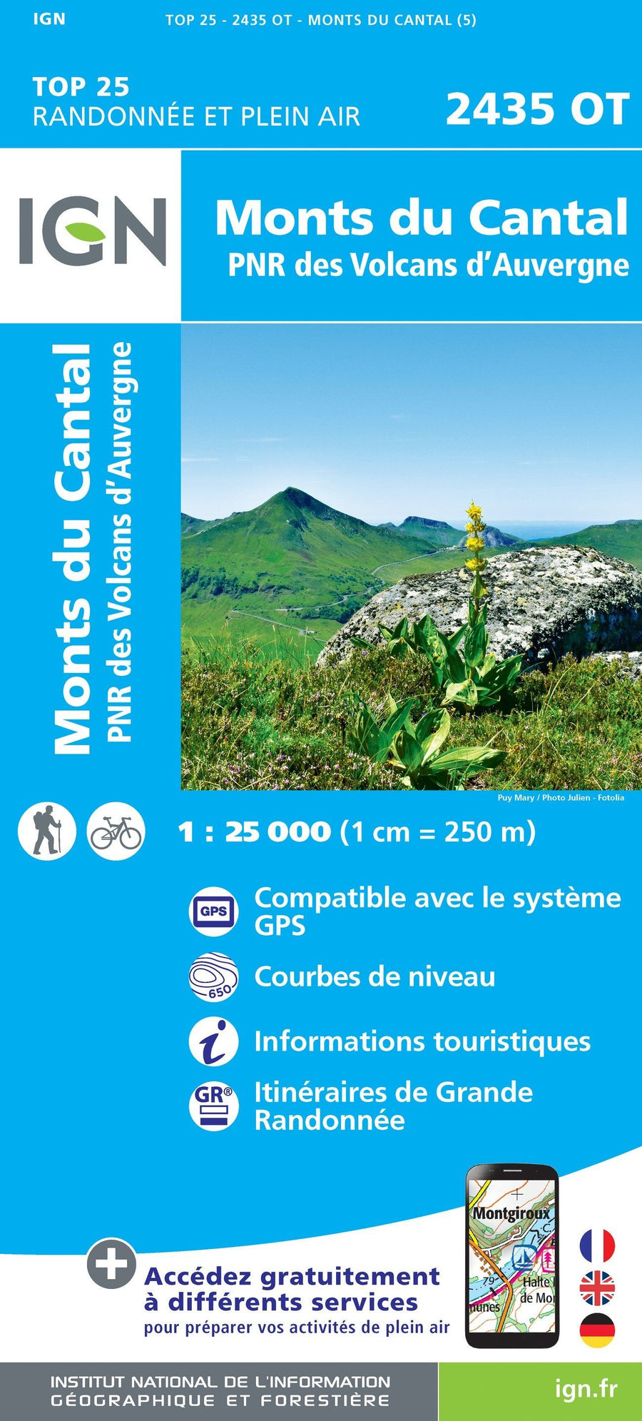
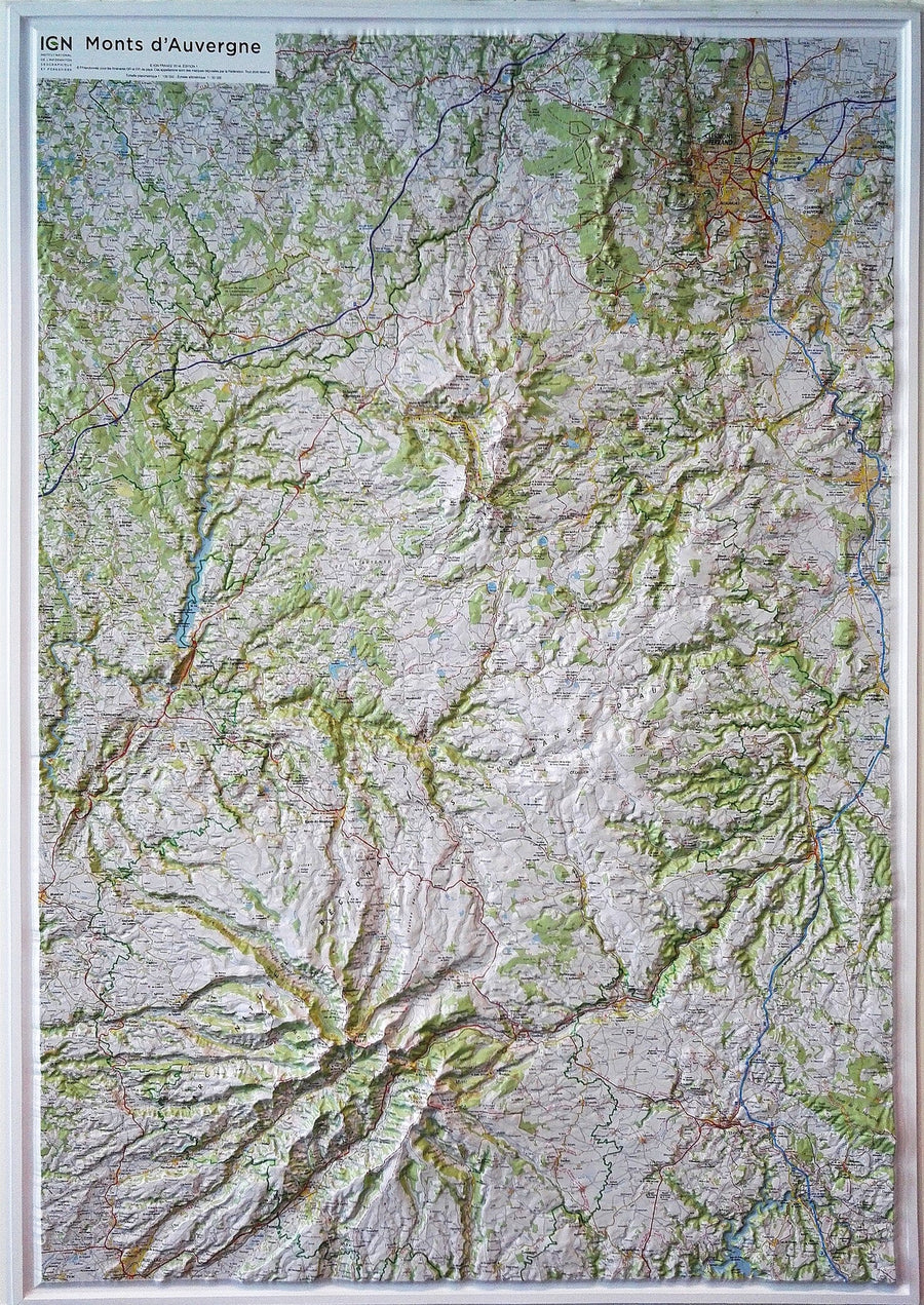
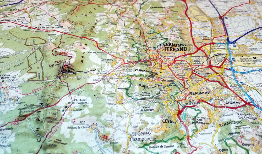
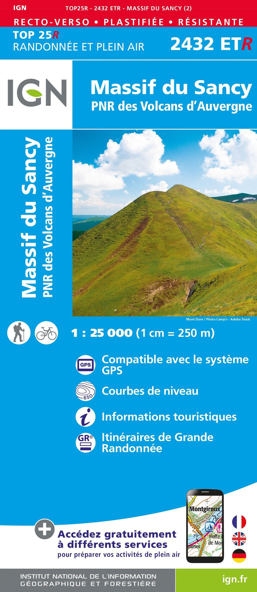
Top 25 Cantal Mountains (Regional Natural Park of Auvergne Volcanoes) published by IGN. Hiking map with space curves spaced 10 meters and detailed legend (vegetation, rocks, streams etc ...). Indication of hiking trails.
Covered communes : Mountains du Cantal, Volcanoes of Auvergne, Brezons, Falgoux, Fontanges, the Vaulmier, Saint - Bonnet - de - Salers, the Fa, Dienne, Cheylade, St. Paul - de - Salers, Mandals - Saint - Julien, Marmanhac, Lavigerie, Velzic, Saint - Project - de - Salers, Lascelle, Saint - Cirgues - de - Jordanne, Laroquevieille.
places to discover : Volcanoes Auvergne Natural Park, Murat Forest, Puy Violent, Puy Chavaroche, Font Col de cere, Puy de Peyre Arse, Col de Legal, No. Cere, Puy du Rocher, Puy Griou, Mandall Valley, No. Coming, Cantal Lead, Puy Mary, Col de Rombière, No. Peyrol, Neronne Pass, Roc Château de Palmont, Cascade of Roucolle, Anjony Castle, Eylac Burons, Castle Sedidiges, St - Antoine, Cascade de la Roche, Notre - Dame de Consolation, Chateau de la Boyle, Waterfall of Faillitoux, Waterfall of Liadouze.
ISBN/EAN : 9782758546474
Publication date: 2019
Scale: 1/25,000 (1cm=250m)
Printed sides: front
Folded dimensions: 23.6 x 11.2 x 0.5cm
Unfolded dimensions: 96 x 132cm
Language(s): French, English, German
Weight:
89 g


