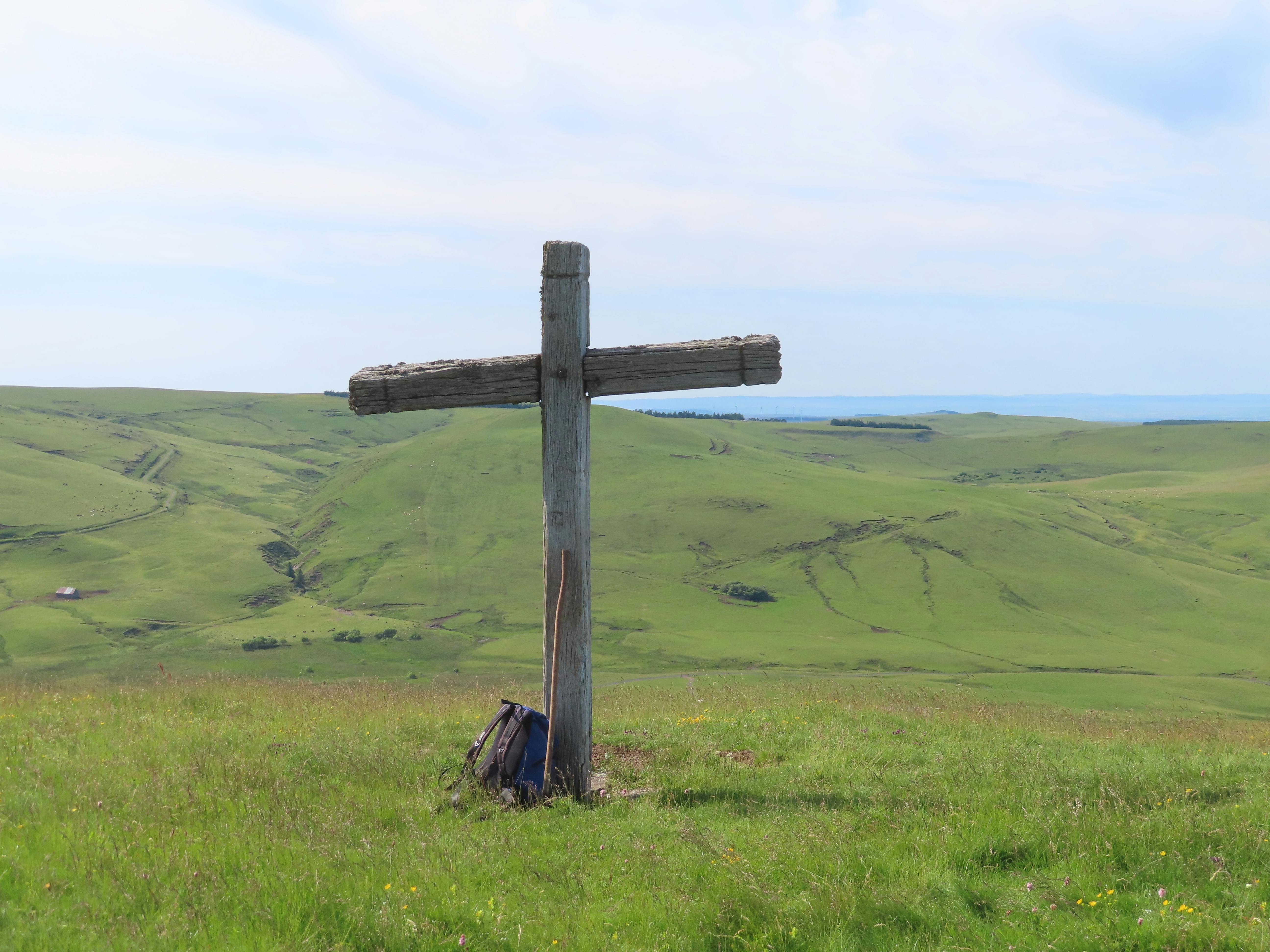
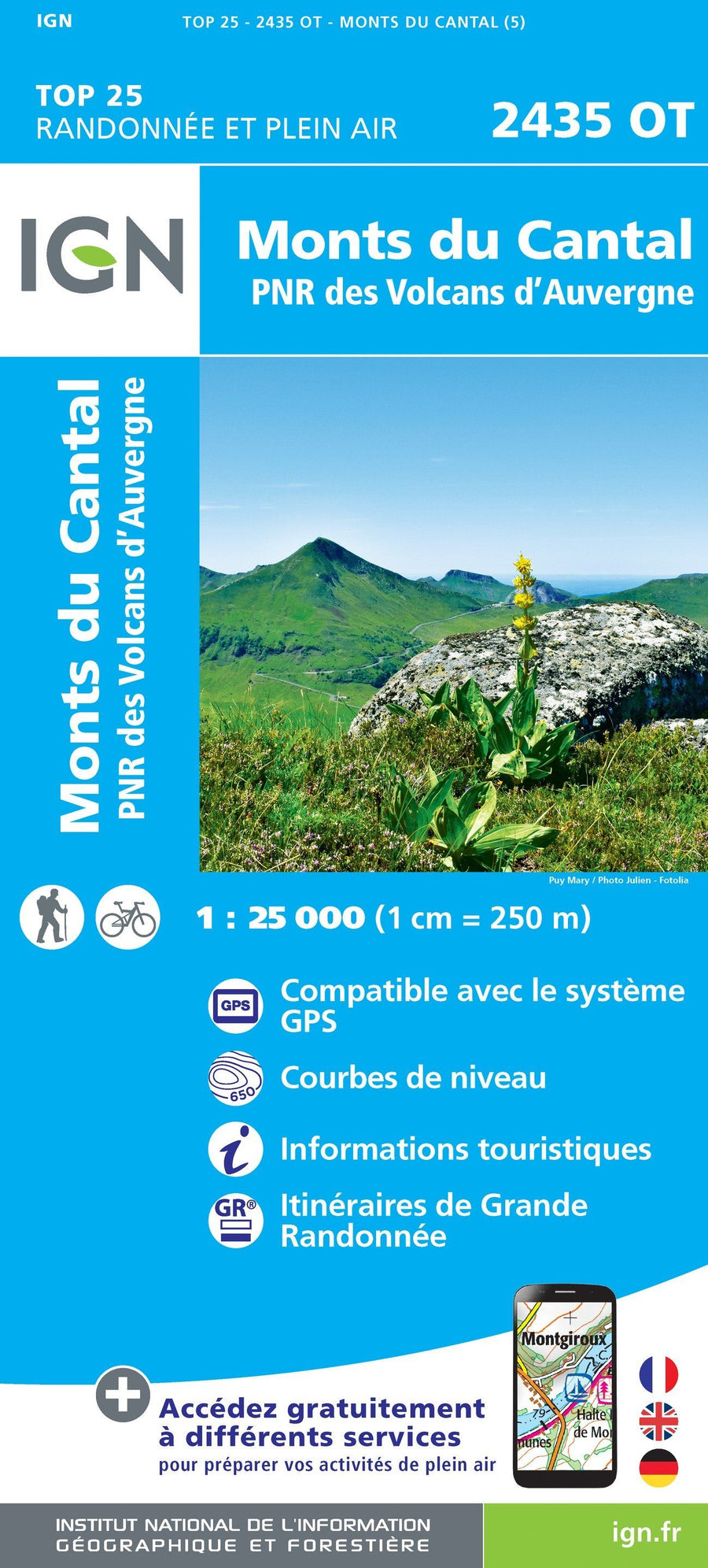
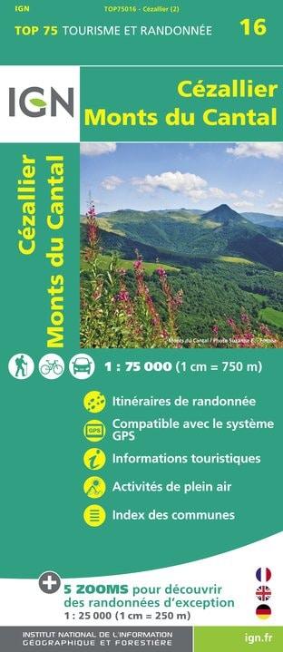
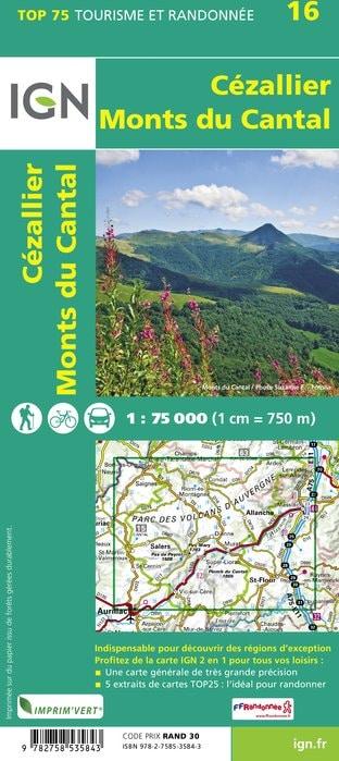
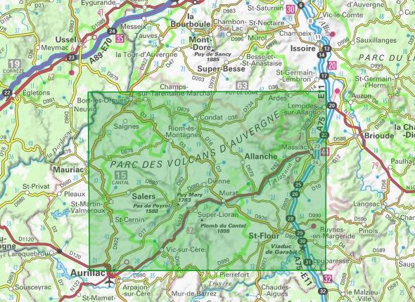
TOP 75 Map No. 16 - Cézallier and the Cantal Mountains (Massif Central) | IGN

Price
Regular price $12.00
Regular price Sale price $12.00
Save $-12
/
  • Shipping within 24 working hours from our warehouse in France
  • Delivery costs calculated instantly in the basket
  • Free returns (*)
  • Real-time inventory
  • Low stock - 1 item left
  • Backordered, shipping soon
Tax included.

Often purchased together:

Top 75 Topographic map of the Cezallon, Cantal Mountains published by IGN. This detailed map covers the Auvergne Volcano Park area with the Salers area. Level curves, detailed legend and indication of hiking trails. Index of cities. This map includes 5 zooms at 1/25,000 scale to discover exceptional hikes.


ISBN/EAN : 9782758535843
Publication date: 2016
Scale: 1/75,000 (1cm=750m) & 1/25,000 (1cm=250m)
Printed sides: front
Folded dimensions: 24.6 x 11.2 x 0.7cm
Unfolded dimensions: 130 x 100cm
Language(s): French, English, German
Weight: 90 g

Customer Reviews

Based on 2 reviews
100%
(2)
0%
(0)
0%
(0)
0%
(0)
0%
(0)
B
Bernard F. (La Jarrie, FR)
Impeccable

Impeccable

A
Annie T. (Dammarie, FR)

Correspond à mes attentes