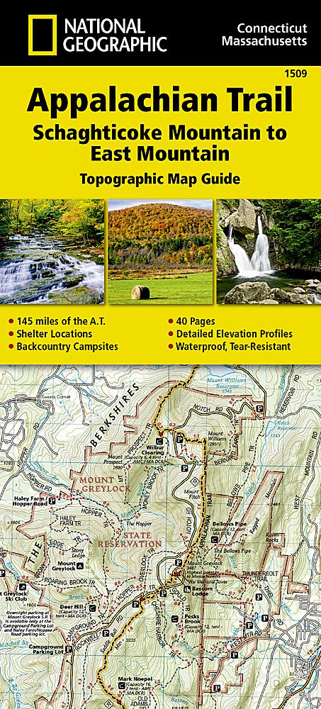
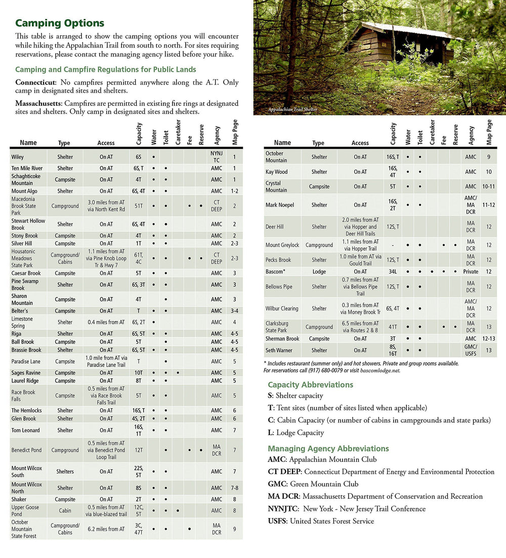
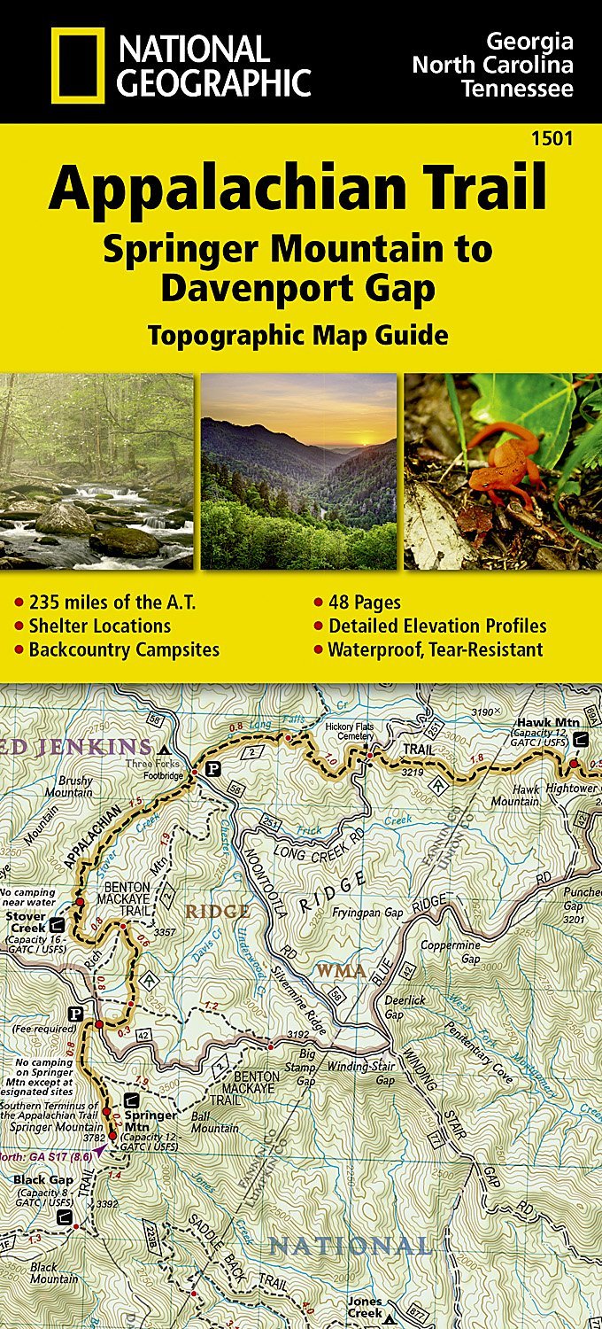
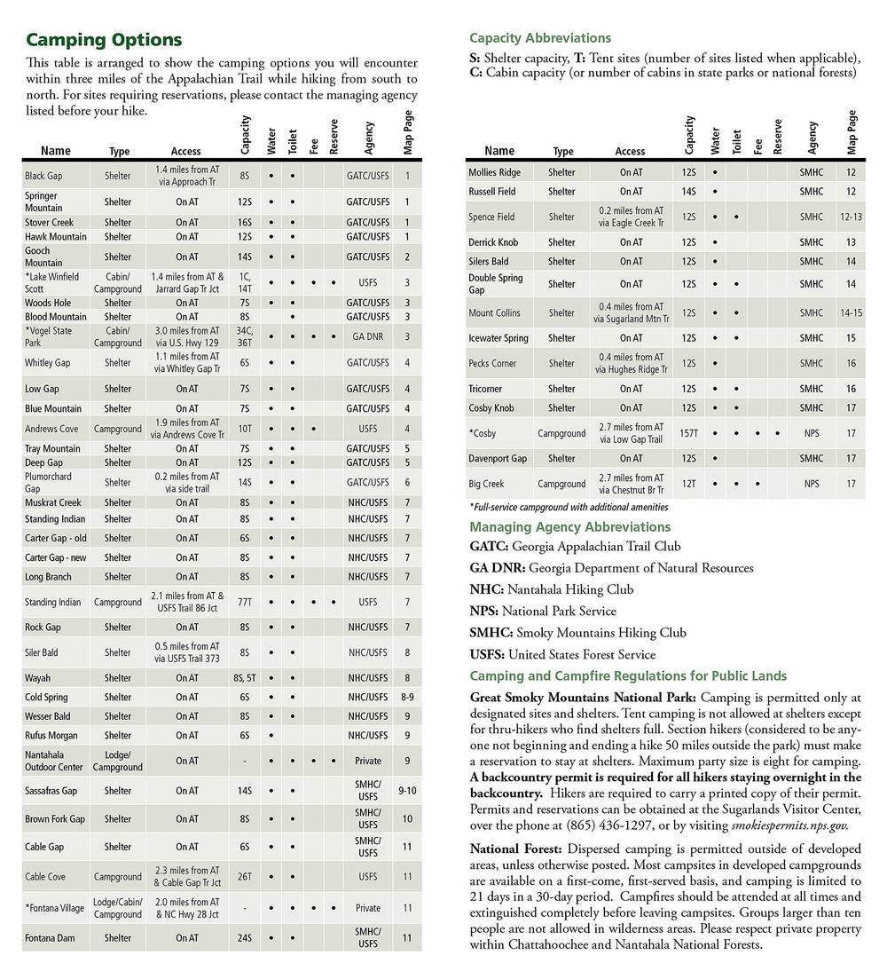
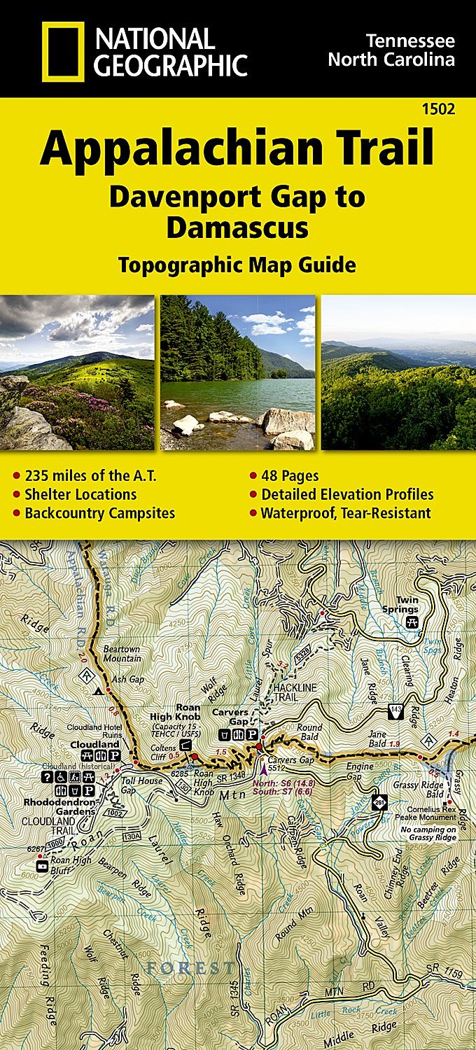
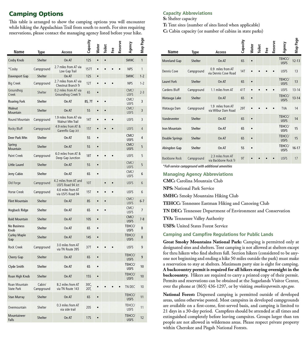
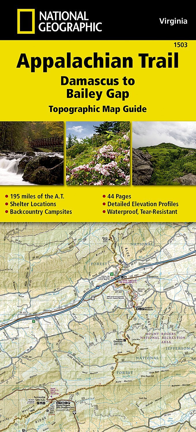
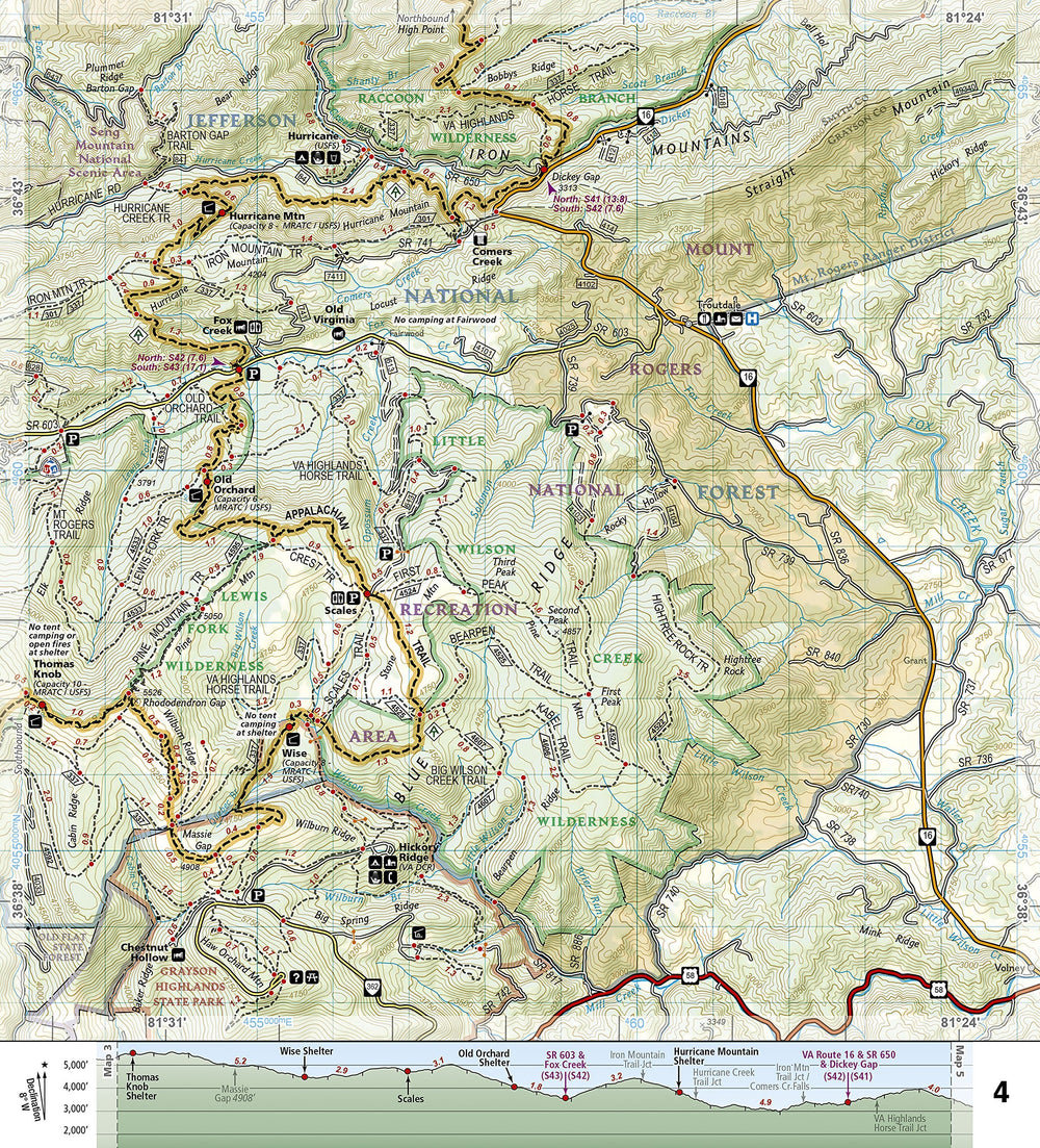
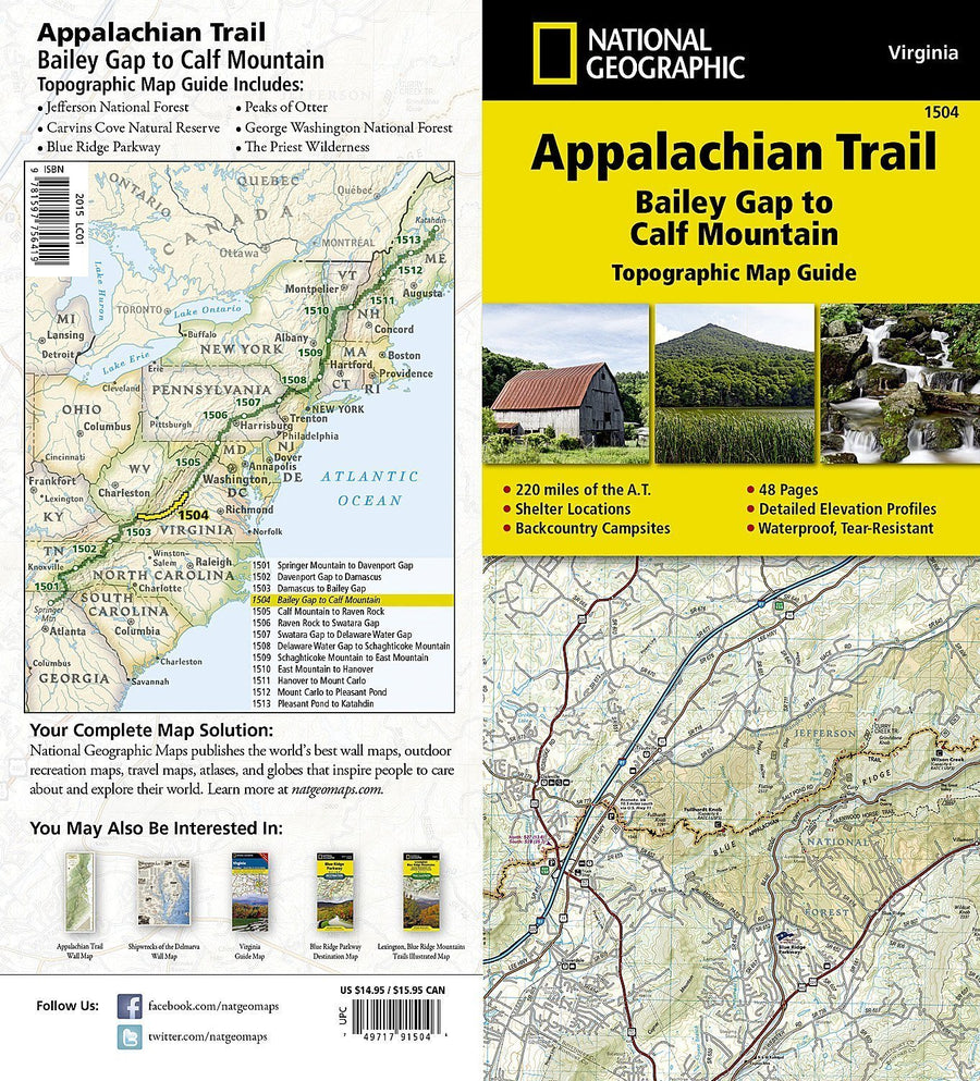
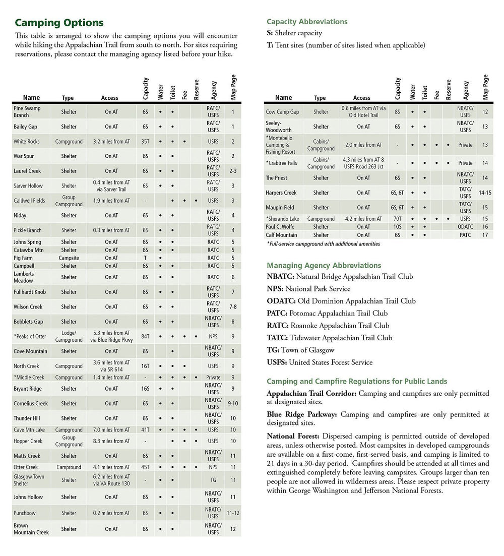
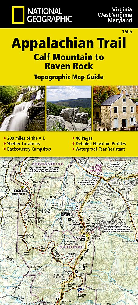
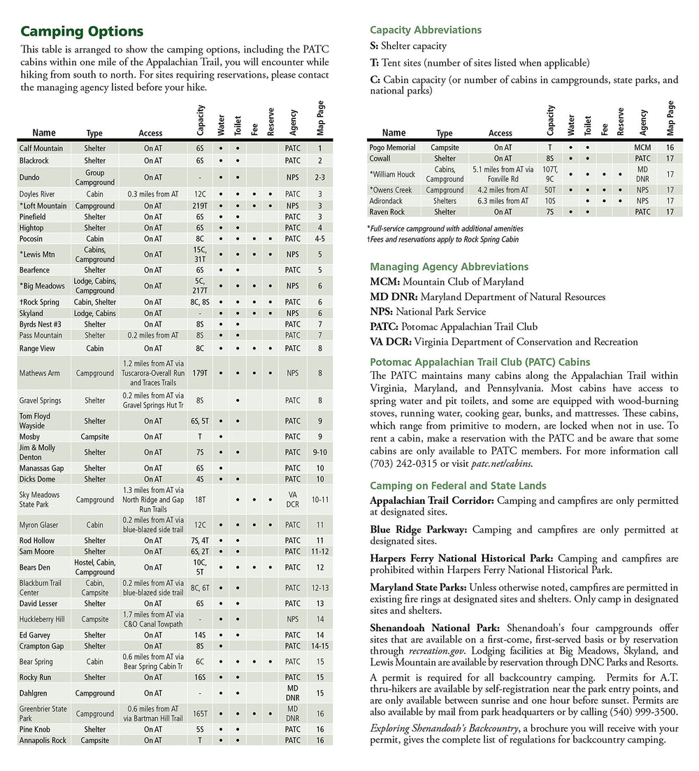
Topographic map of a portion of the Appalachian Trail (Connecticut, Massachusetts). Contour line. Indication of trekking paths, places of accommodation (campsites), bases of Rangers.
Detailed map waterproof and tearing resistant.
Scale 1/63 360 (1 cm = 633 m).
ISBN/EAN : 9781597756464
Publication date: 2015
Scale: 1/63360 (1cm=633m)
Printed sides: both sides
Folded dimensions: 23.5 x 10.9cm
Language(s): English
Weight:
76 g


