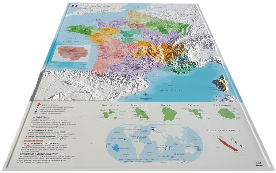
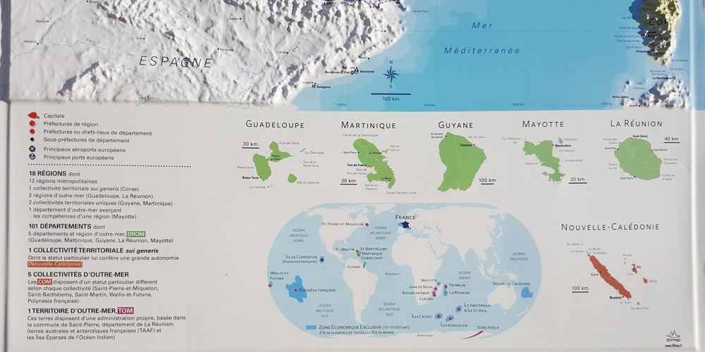
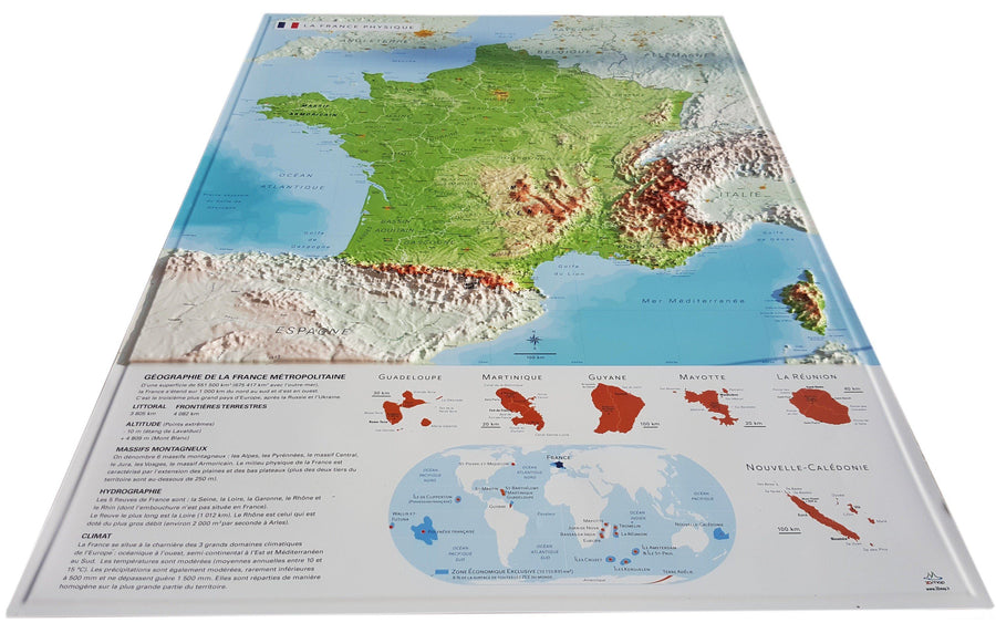
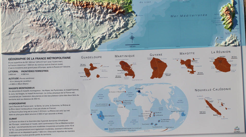
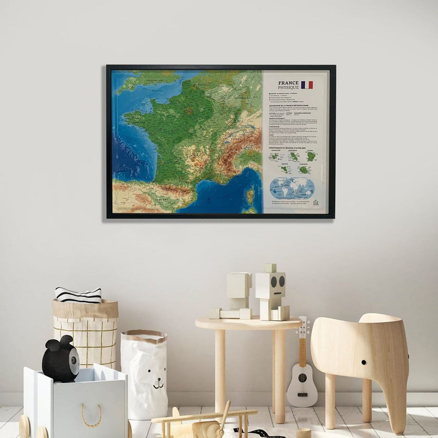
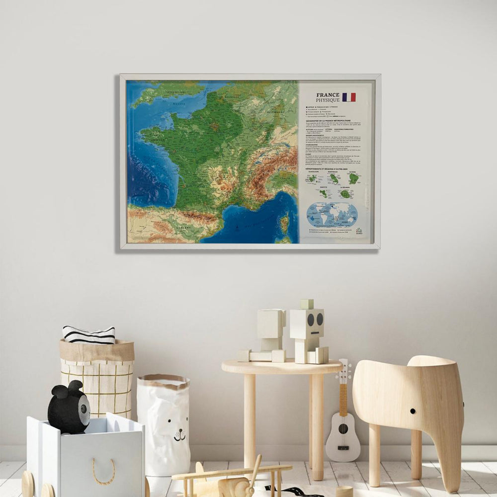
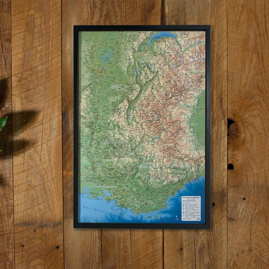
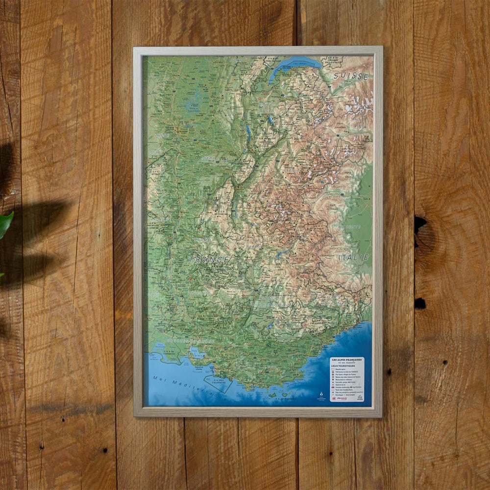
Relief wall map of the city of Marseille.
A finishing frame is also available as an option: We highly recommend it to make hanging easier and to enhance the appearance of your map.
Information included on the map:
- GENERAL DATA: • Hydrological, natural and hypsometric data – Administrative data
- TOURIST SITES: • Castles - Historical monuments • Religious heritage • Museums • Waterfalls • Caves, passes
- SPORTS SITES, HIKING: • Refuges - Mountain lodges • Canyoning • Diving sites • Wrecks • Climbing sites • Beaches • Paragliding sites (www.ffvl.fr) • Takeoffs - Landings • Airports • Grandes trails Hiking • Country Trails
- SCALE/DIMENSIONS:
• Planimetric scale: 1:120,000
• Altimeter scale: 1:35,000
• 41cm x 61cm
ISBN / EAN : 9791097206604
Date de publication : 2024
Echelle : 1/120,000 (1cm=1.2km)
Dimensions déplié(e) : 61cm x 41cm
Langue : French
Poids :
136 g


