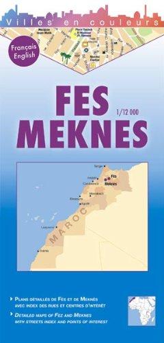
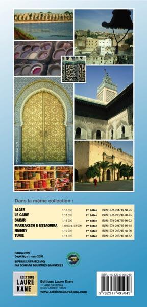
Fès, Spiritual Capital of Morocco, built in distinct three parts, invites you to discover in color its new city, the district of Fez JDID housing the Royal Palace and the Mellah district, and of course, by the majestic doors, to stroll in This famous Medina, Fez El Bali, classified World Heritage.
Meknes, imperial city built by Moulay Ismael, extends between the new city, the typical Medina and the immensities of the Imperial Cité.
- Index of the main streets
- Index of the main interest centers (places, hospitals, post offices, markets, palaces, souks, hotels, etc.)
- Small glossary
+ Zoom on the Medina of Fez
+ Small area map between Fez and Meknes
ISBN/EAN : 9782917495049
Publication date: 2009
Scale: 1/12000 (1cm=120m)
Printed sides: front
Folded dimensions: 12 x 25cm
Unfolded dimensions: 84cm x 50cm
Language(s): French English
Weight:
80 g


