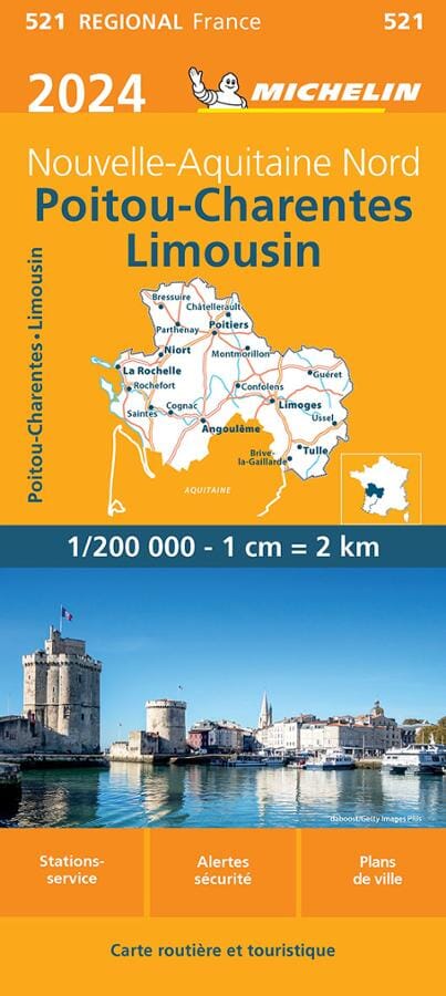
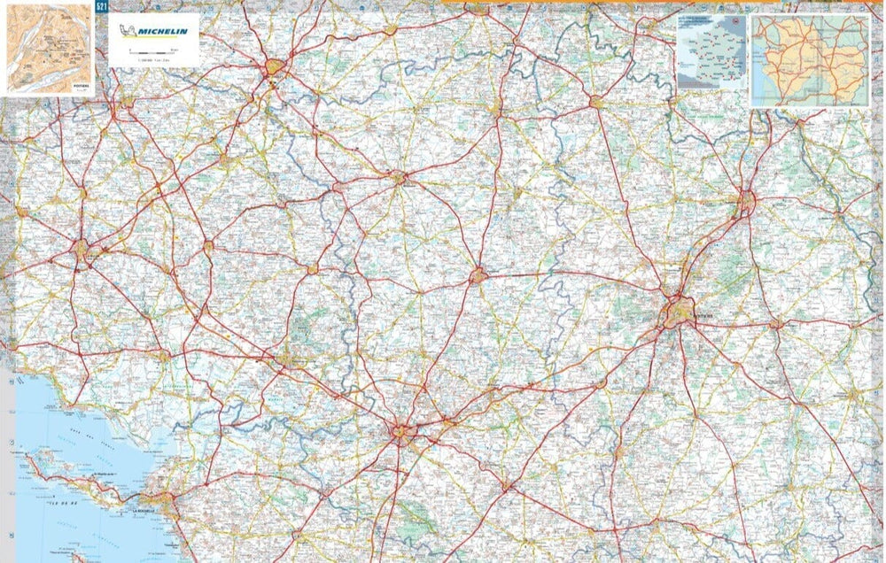
The regional map of Poitou-Charentes and Limousin at 1:200,000 (1 cm = 2 km) accompanies you on all your trips. Indication of service stations and safety alerts (increased vigilance zones) will allow you to drive with complete peace of mind.
This map brings you all the advantages of Michelin cartography: annual update, recommended routes, intuitive legend but also city maps.
Coverage: Charente, Charente-Maritime, Deux-Sèvres, Vienne, Haute-Vienne, Creuse, Corrèze.
ISBN/EAN : 9782067262492
Publication date: 2024
Scale: 1/200,000 (1cm=2km)
Printed sides: both sides
Folded dimensions: 25 x 11cm
Language(s): French
Weight:
86 g


