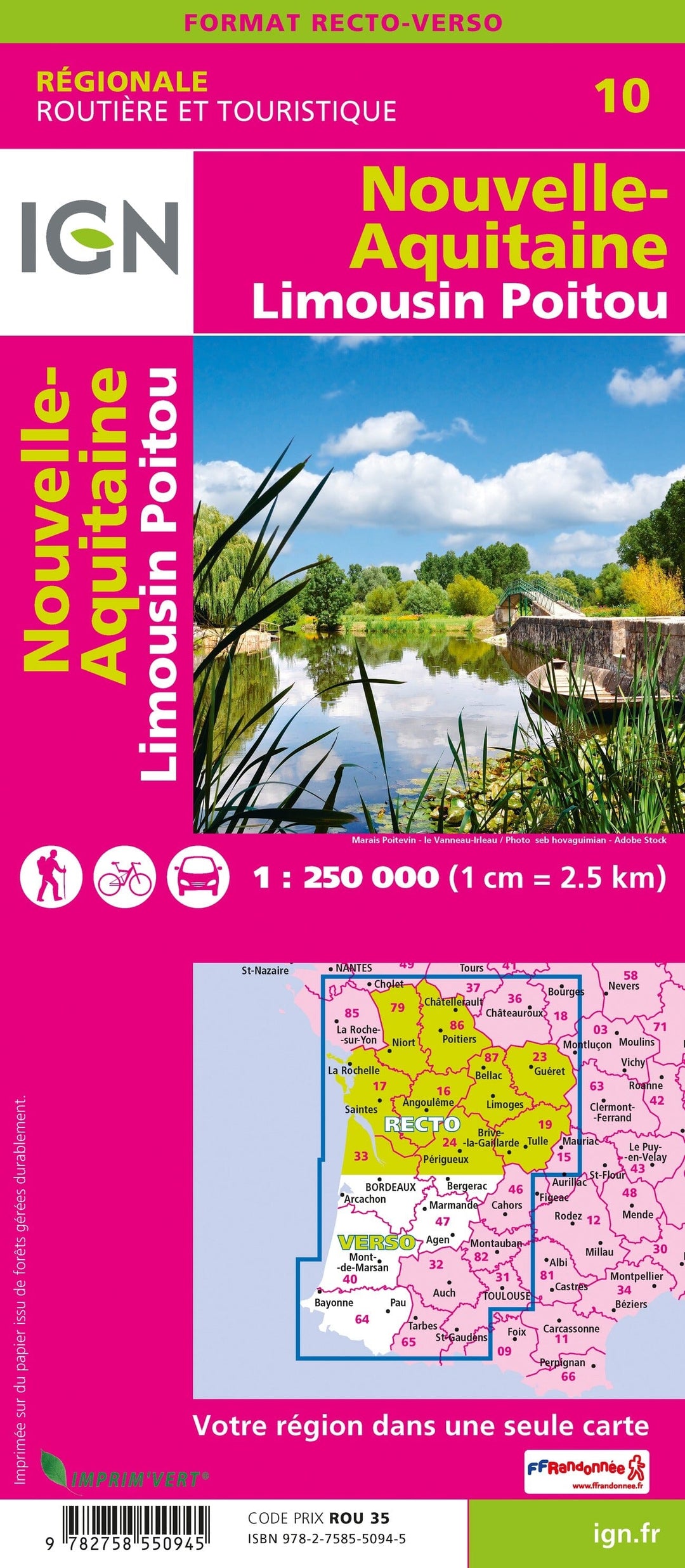
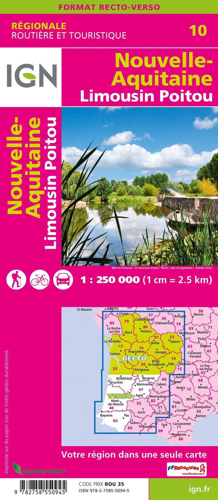
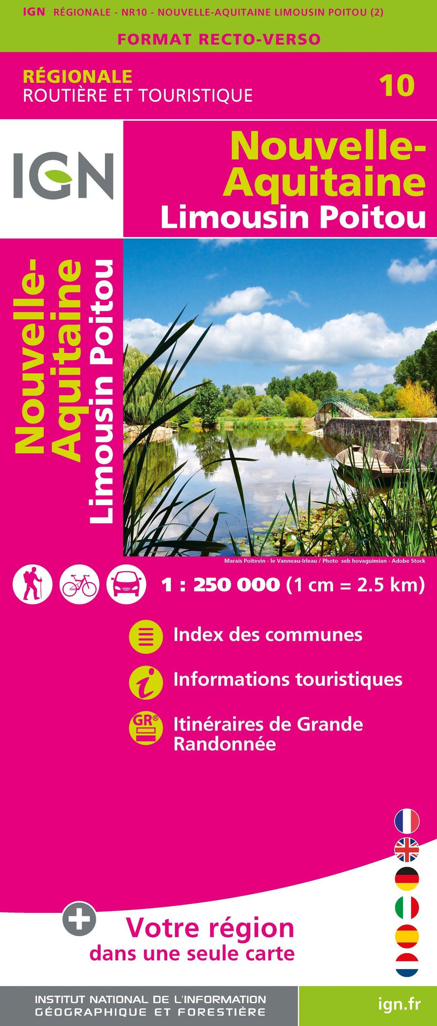
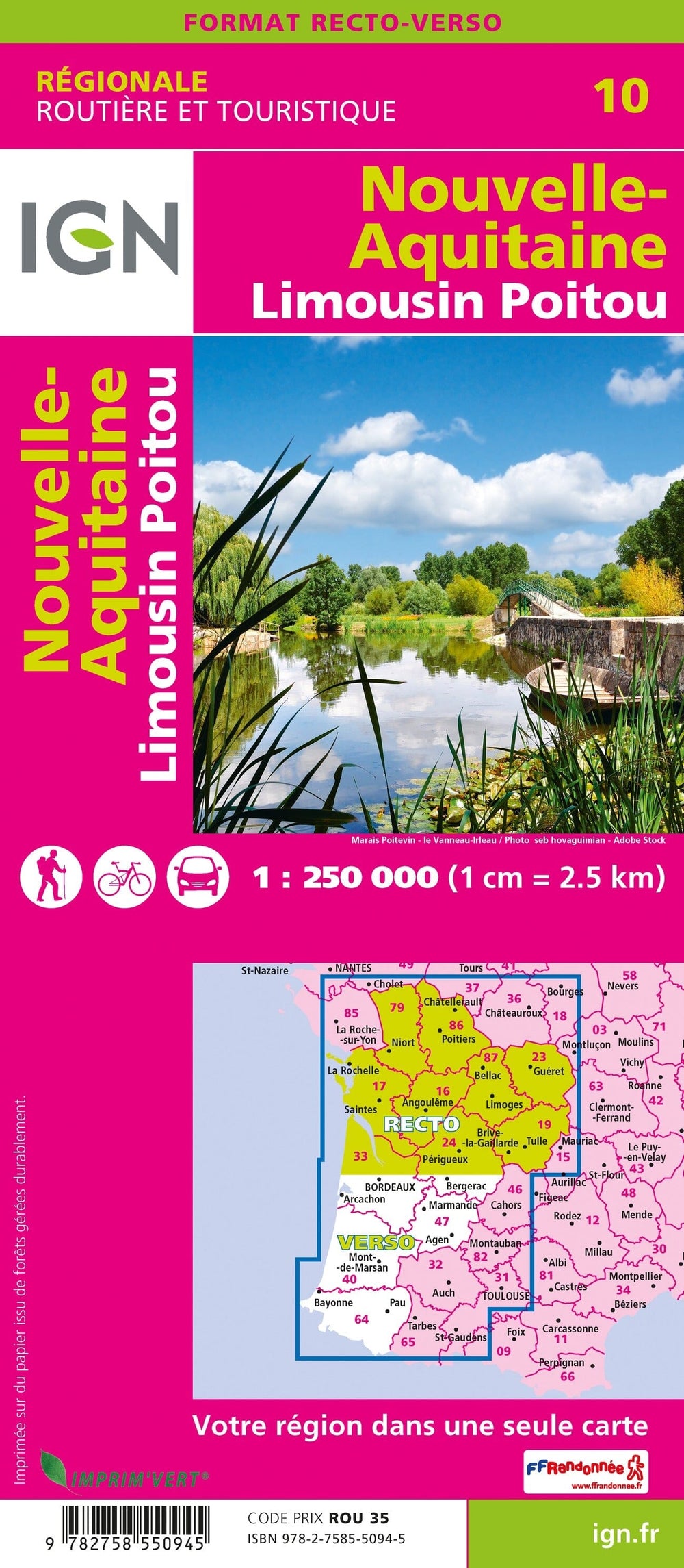
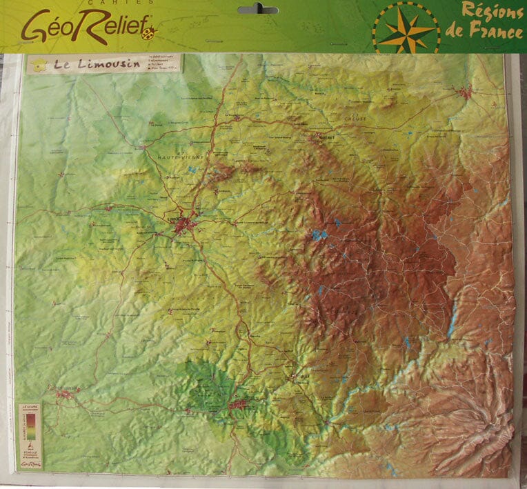
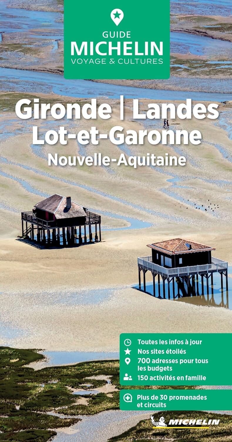
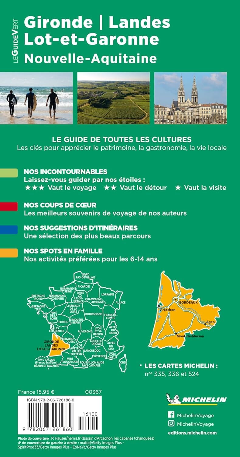
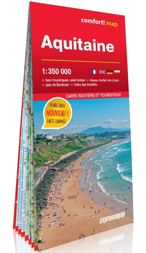
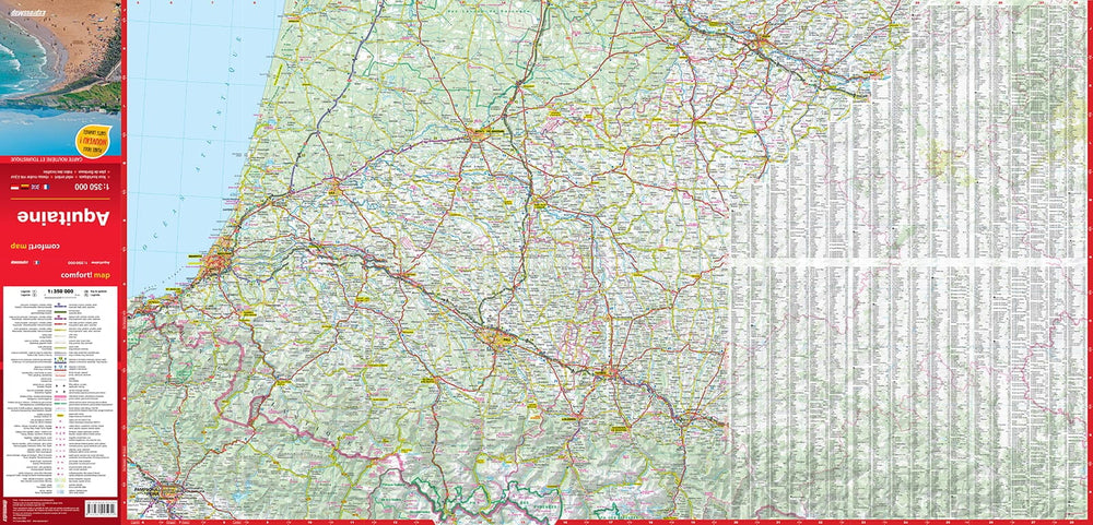
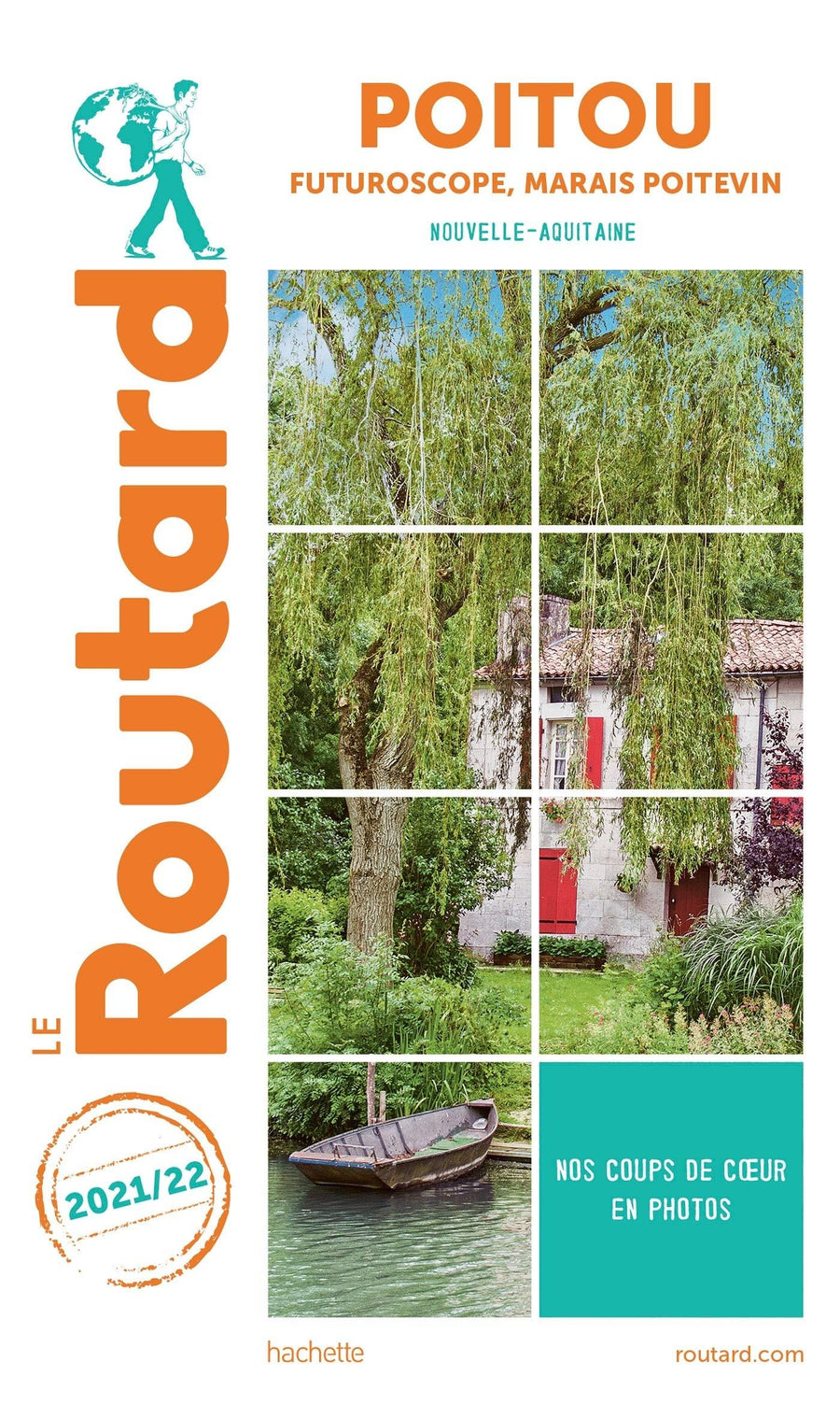
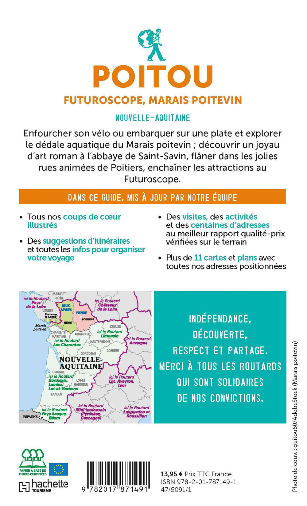
IGN Road map of the whole of the new Aquitaine. This map is double - sided printed: it presents the Limousin and the Poitou on the front, and the rest of the new Aquitaine region on the back.
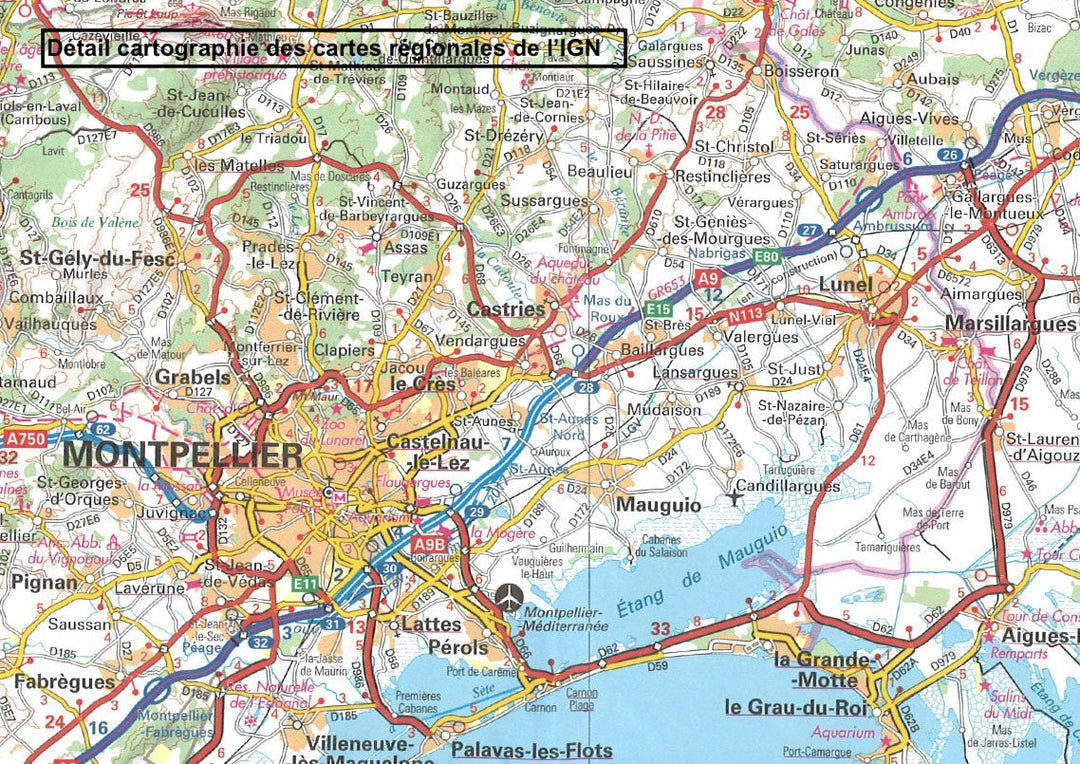
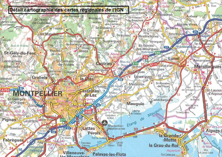
Distances shown on the map. Tourist information and cities index included. Representation of relief, indication of hiking trails (GR).
Scale 1/250 000 (1 cm = 2.5 km).
This map is part of the new IGN regional maps collection including the official cutting of the 13 new regions.
ISBN/EAN : 9782758550945
Publication date: 2020
Scale: 1/250,000 (1cm=2.5km)
Printed sides: both sides
Folded dimensions: 11 x 25cm
Language(s): French, English, German
Weight:
90 g


