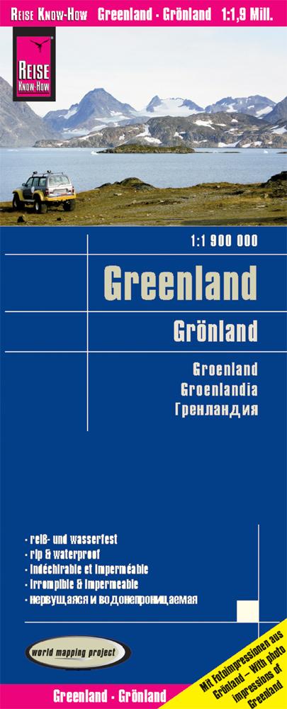
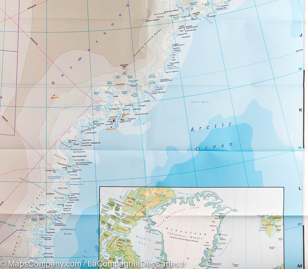
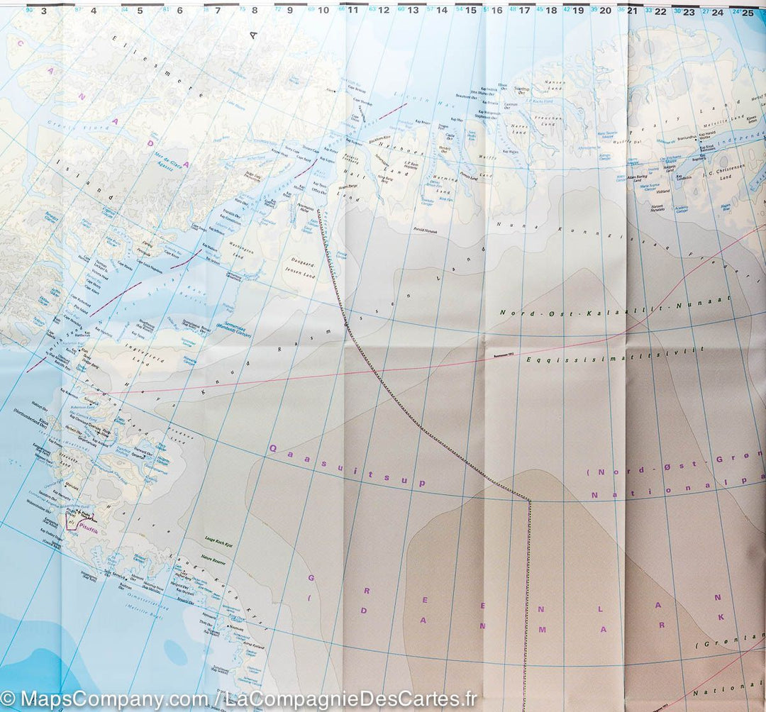
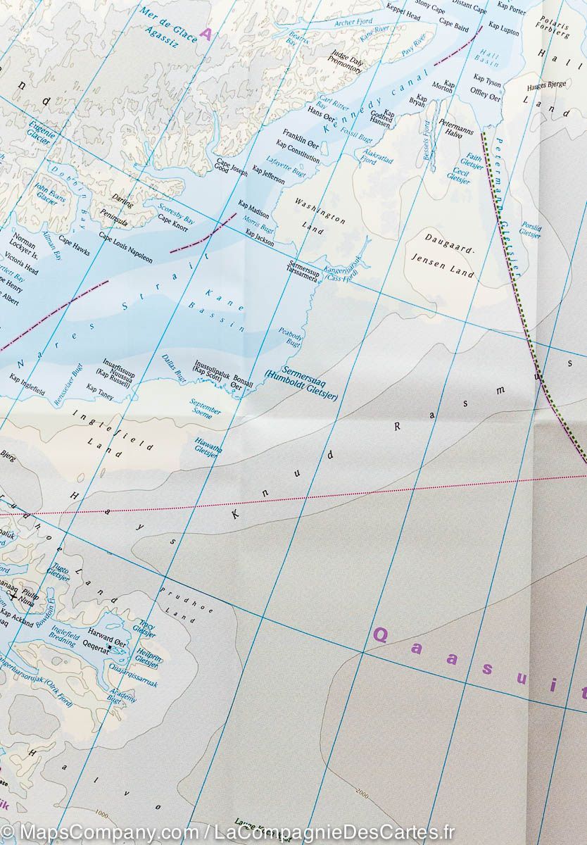
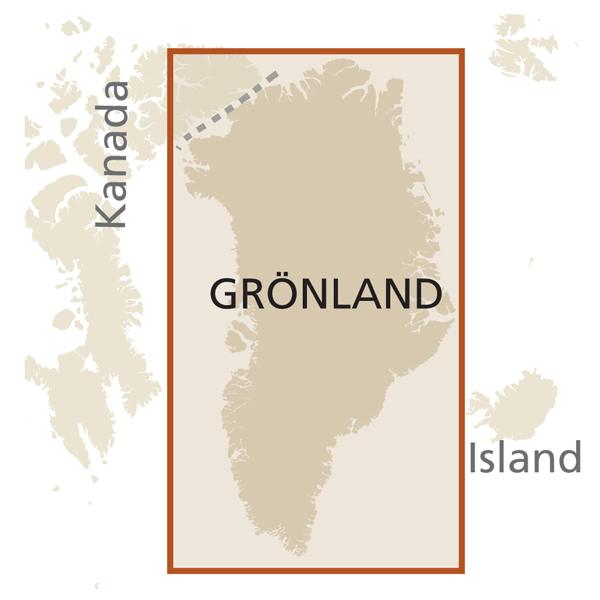
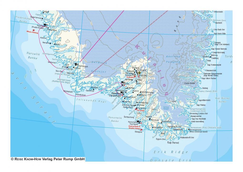
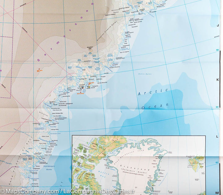
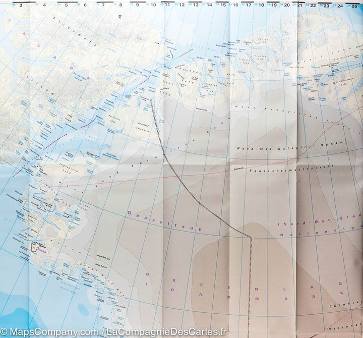
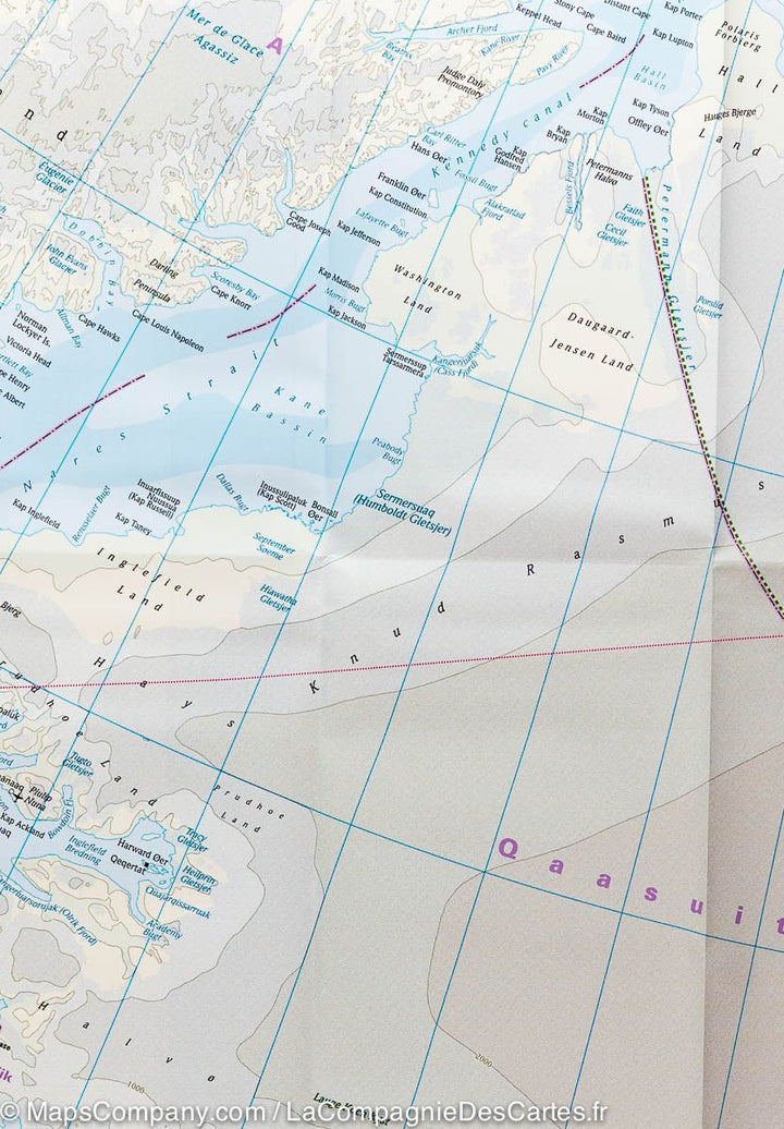
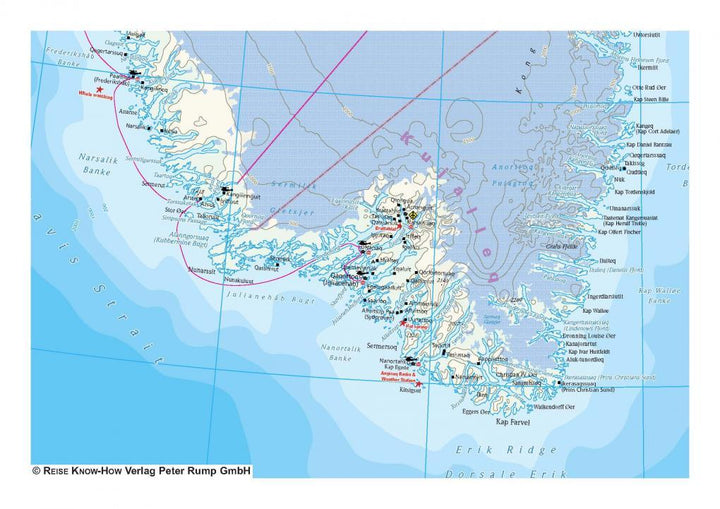
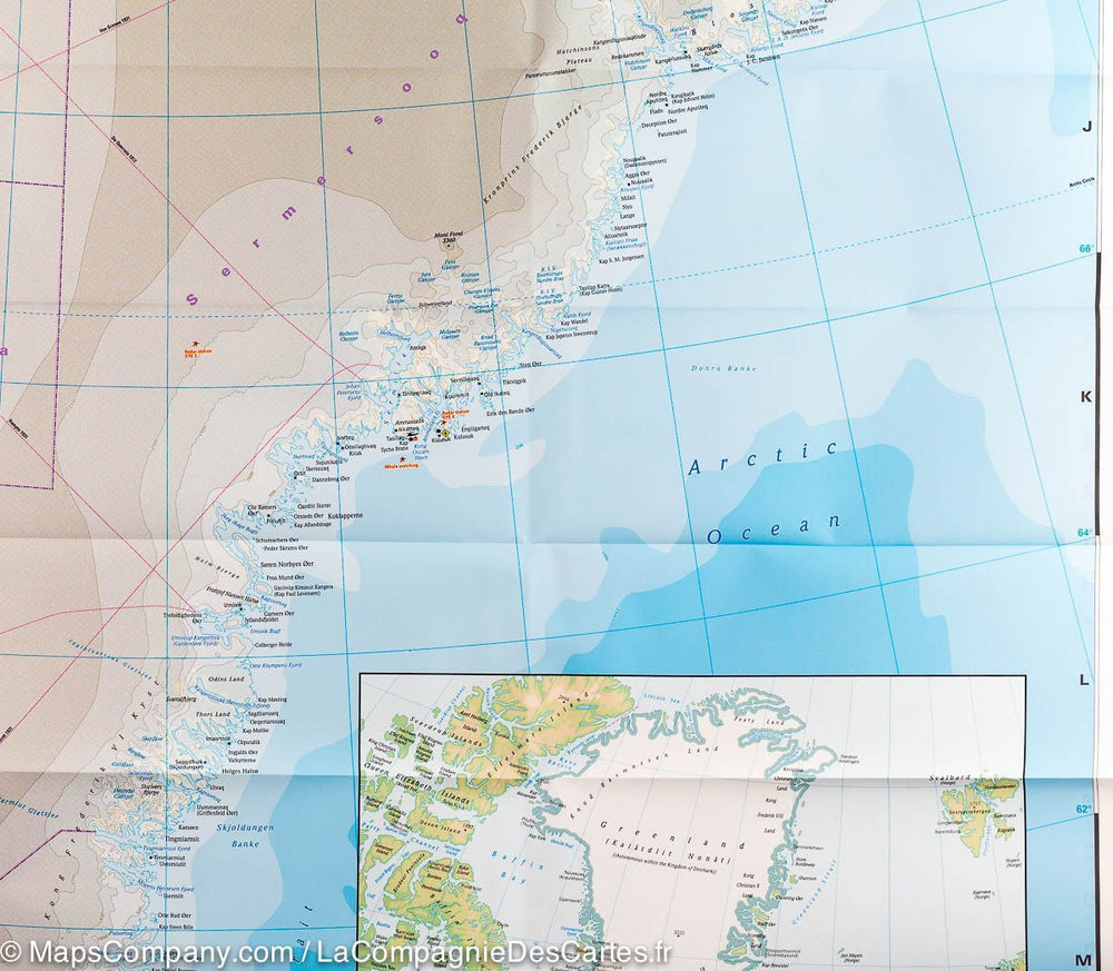
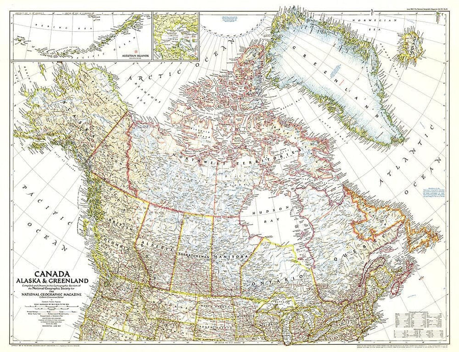
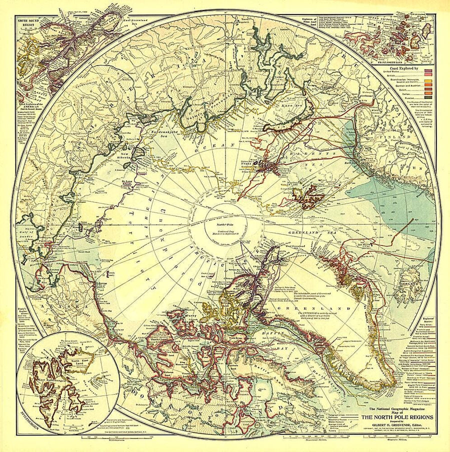
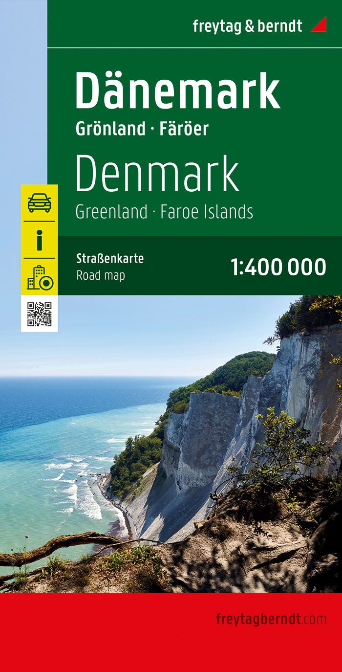
Greenland Road map published by Reise Know How. Numerous information: Ferries, places of interest, shipping routes to Greenland etc ... The map is divided Greenland North / South and presents the topography of Greenland with the coloring of the altitude and many listed points. Numerous names of mountain ranges, peaks, glaciers, coastal berries and fjords. Double Greenland / Danish writing. The map shows ferry lines on the southwestern coast, aerodromes, aerodromes and heliports, locations for hotels, whale watching sites, the Northeast National Park border of Greenland. An insert provides a northern Atlantic map, with in addition to Greenland Most Western Europe, including Svalbard, and the northeastern coast of North America (New York to the Islands of the Canadian Arctic).
This map contains - to help plan your trip - photos of important tourist sites.
This detailed map of Greenland is indich and waterproof.
ISBN/EAN : 9783831774180
Publication date: 2019
Scale: 1/1,900,000 (1cm=19km)
Printed sides: both sides
Folded dimensions: 26 x 11.5 x 0.8cm
Unfolded dimensions: 100x70cm
Language(s): French, German, English, Spanish, Russian
Weight:
85 g


