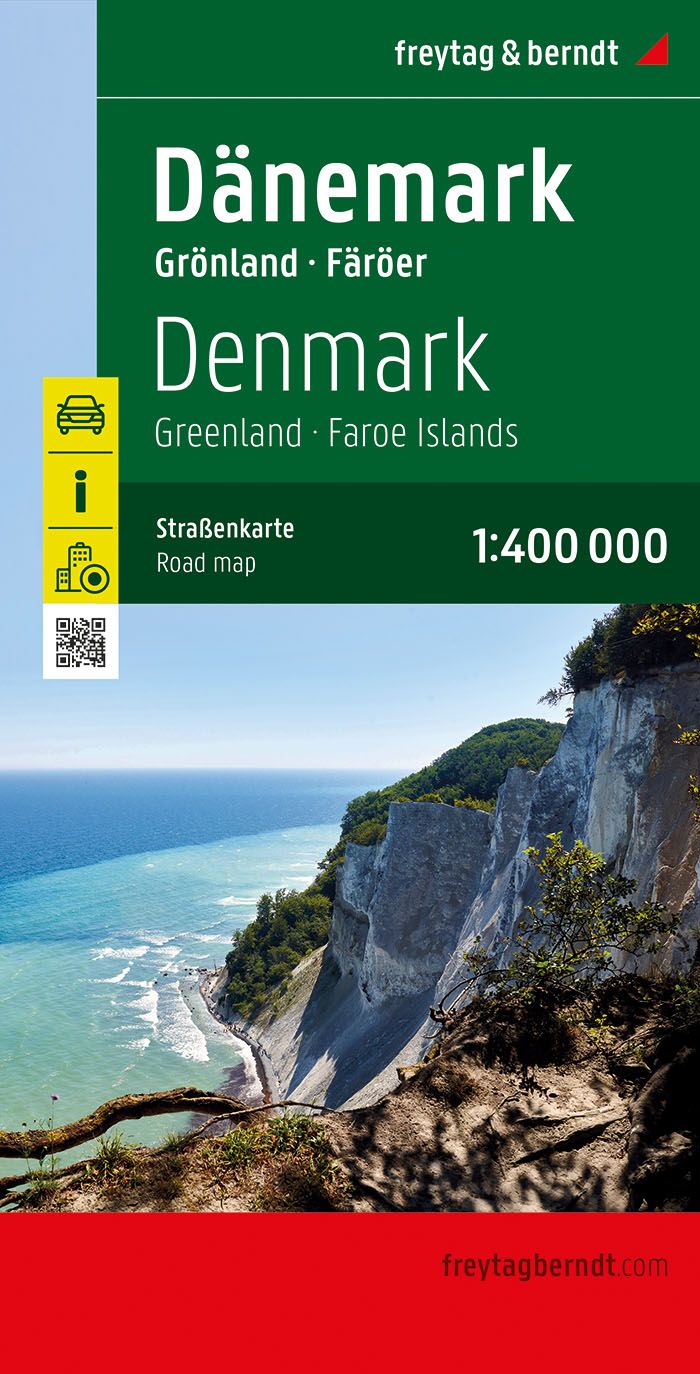
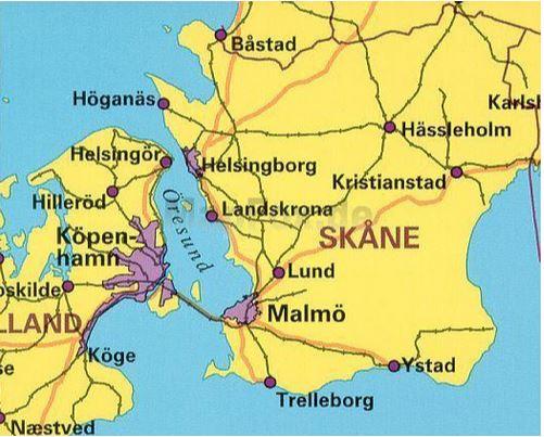
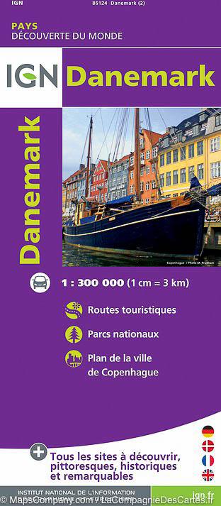
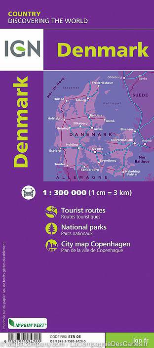
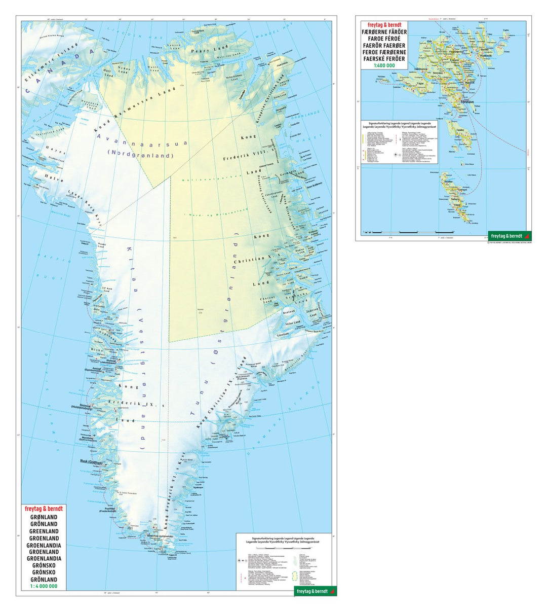
Road Map - Denmark, Faroe Islands & Greenland | Freytag & Berndt

Carte routière - Danemark, incluant les îles Féroé & Groënland | Freytag & Berndt carte pliée Freytag & Berndt

Road Map - Denmark, Faroe Islands & Greenland | Freytag & Berndt

Regular price $15.00
/
  • Shipping within 24 working hours from our warehouse in France
  • Delivery costs calculated instantly in the cart
  • Free returns (*)
  • Real-time inventory
  • In stock, ready to ship
  • Inventory on the way
Tax included.

Often purchased together:

Map of Denmark, Greenland and the Faroe Islands published by Freytag & Berndt. Scale 1 / 400,000 (1 cm = 4 km). Terrain mapping.

Index of cities.


ISBN/EAN : 9783707921571
Publication date: 2022
Scale: 1/400,000 (1cm=4km)
Printed sides: front
Folded dimensions: 25.6 x 13 x 0.8cm
Unfolded dimensions: 125 x 94cm
Language(s): multilingual including French
Poids : 160 g

Customer Reviews

No reviews yet
0%
(0)
0%
(0)
0%
(0)
0%
(0)
0%
(0)
Travel Guide - Sri Lanka | Bradt
Bradt
$16.00
1947 Canada, Alaska and Greenland Map Wall Map
1947 Canada, Alaska and Greenland Map
National Geographic Historic POD
$41.00
1907 North Pole Regions Map Wall Map
1907 North Pole Regions Map
National Geographic Historic POD
$28.00
Carte routière - Danemark, incluant les îles Féroé & Groënland | Freytag & Berndt carte pliée Freytag & Berndt
Road Map - Denmark, Faroe Islands & Greenland | Freytag & Berndt
Freytag & Berndt
$15.00
Recently viewed