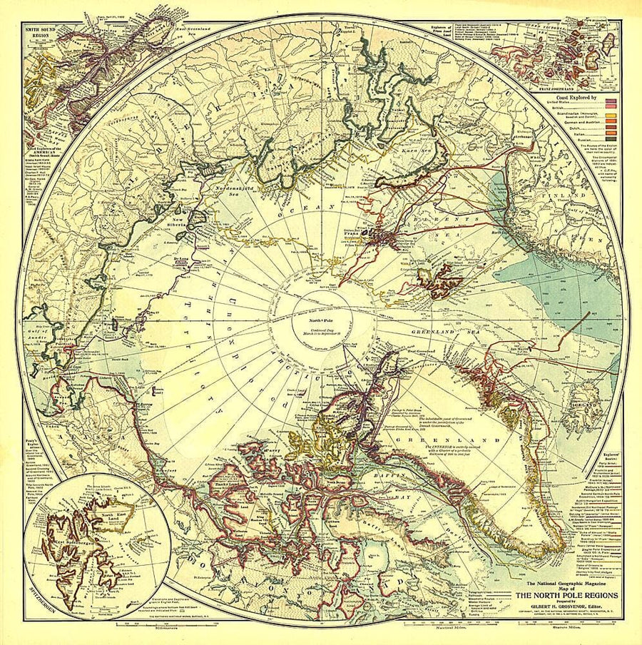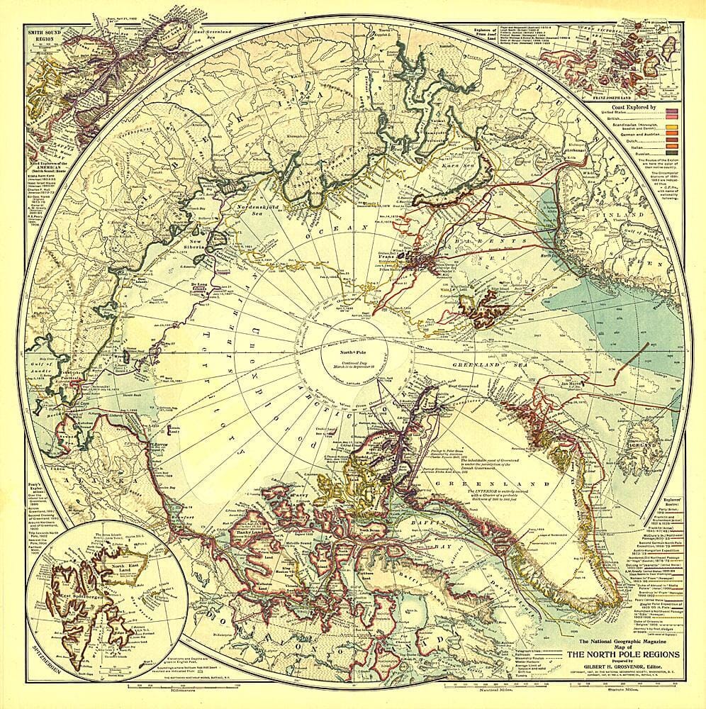
1907 North Pole Regions Map Wall Map

1907 North Pole Regions Map

Price
Regular price $26.00
Regular price Sale price $26.00
Save $-26
/
  • Shipping within 48 business hours from our warehouse in the USA. For this product, customs fees may be requested by the carrier upon delivery.
  • Delivery costs calculated instantly in the basket
  • Free returns (*)
  • Real-time inventory
  • In stock, ready to ship
  • Backordered, shipping soon
Tax included.

Often purchased together:

A true work of art, this map of the North Pole regions is as beautiful as it is fascinating. Published with five articles on the Arctic including "Arctic Expeditions Commanded by Americans," this one of a kind map is loaded with information about Arctic exploration and is perfect for framing.


ISBN/EAN : 2321340M
Publication date: 1907
Unfolded dimensions: 18.75in / 18.75in
Language(s): English
Weight: 200 g

Customer Reviews

Be the first to write a review
0%
(0)
0%
(0)
0%
(0)
0%
(0)
0%
(0)
More from The Poles
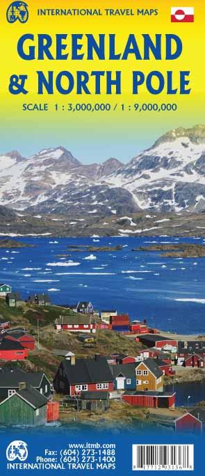
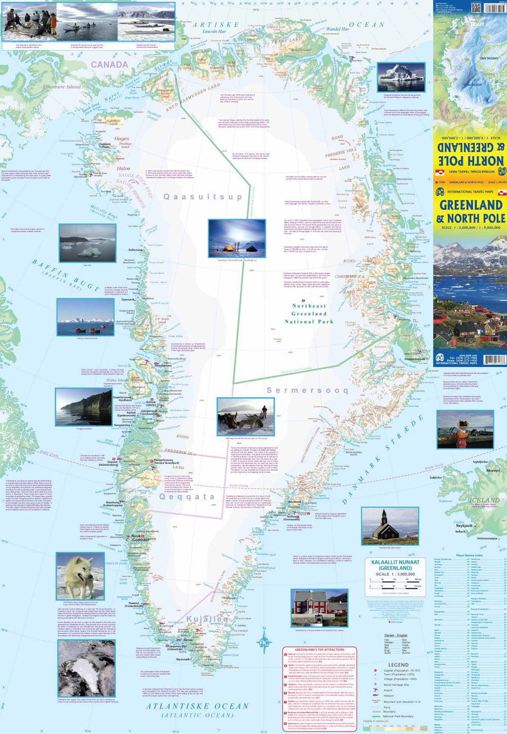
Carte de voyage - Pôle Nord & Groenland | ITM carte pliée ITM
Travel map - North Pole & Greenland | ITM
ITM
$14.00
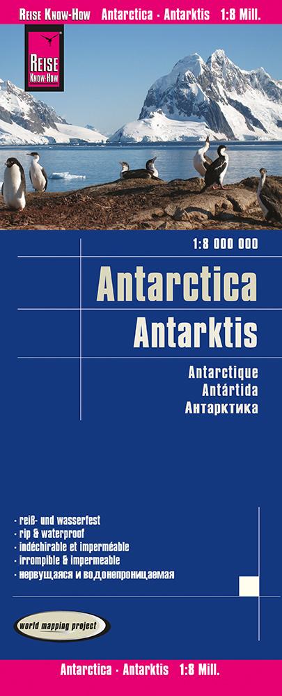
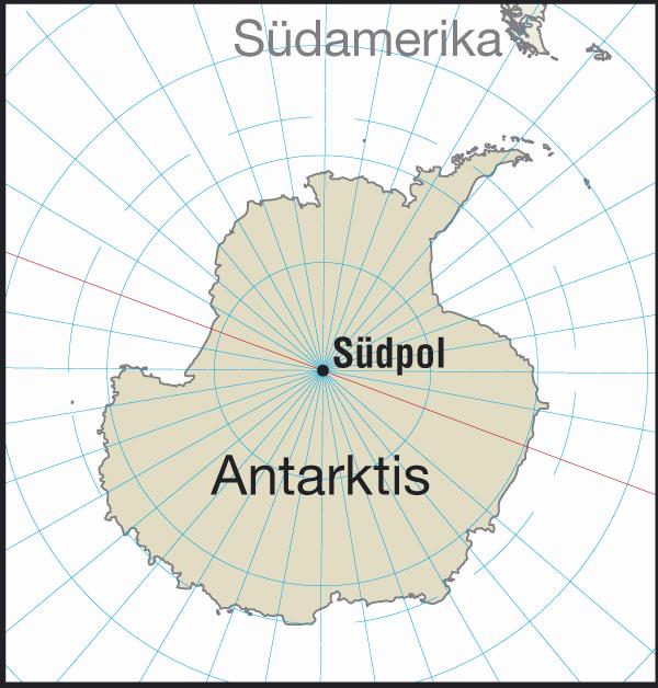
Carte de Antarctique | Reise Know How carte pliée Reise Know-How
General Map - Antarctica | Reise Know How
Reise Know-How
$12.00
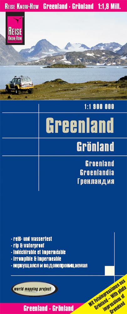
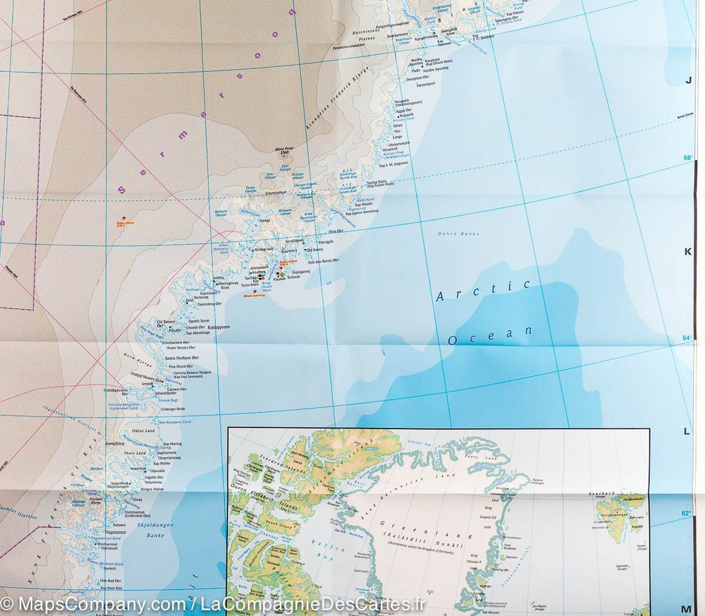
Carte - Groenland | Reise Know How carte pliée Reise Know-How
Carte du Groenland | Reise Know How - La Compagnie des Cartes
Map - Greenland | Reise Know How
Reise Know-How
$13.00
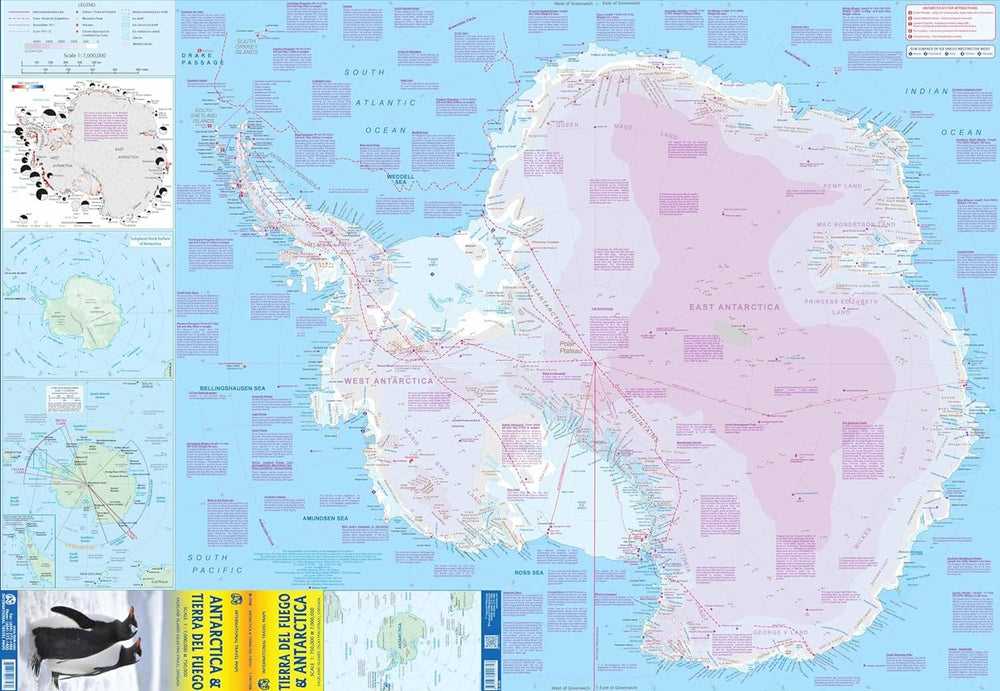
Carte de voyage - Antarctique & Terre de Feu | ITM carte pliée ITM
Travel map - Antarctica & Terre de Fire | ITM
ITM
$14.00
Carte murale – Antarctique (en anglais) – 120 x 100 cm | Maps International - La Compagnie des Cartes
Wall map - Antarctica - 120 x 100 cm | Maps International
Maps International
from $27.00