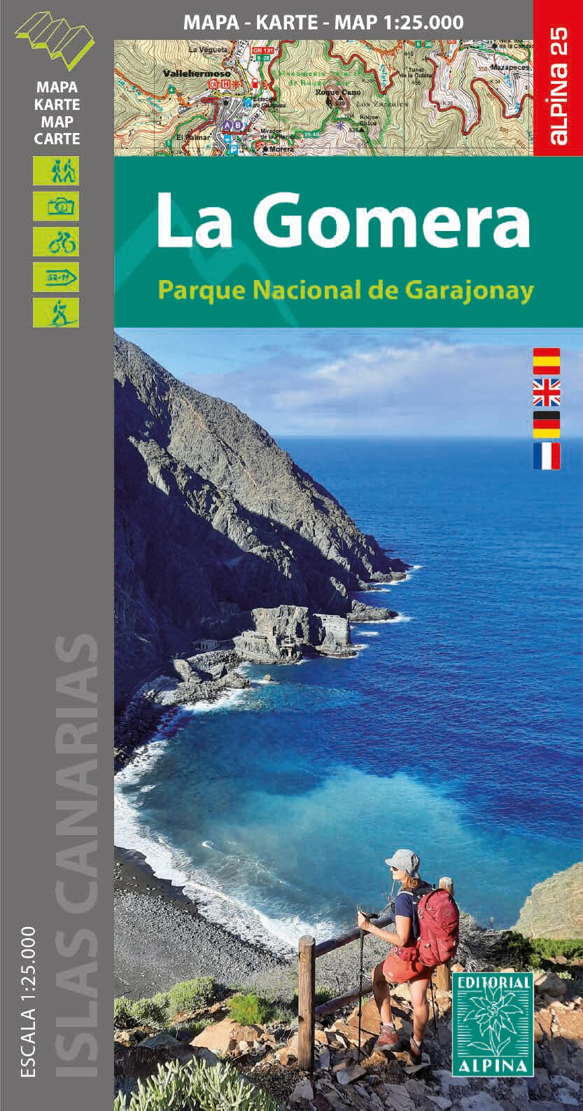
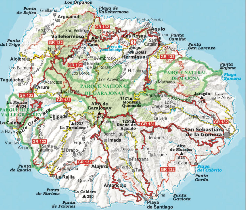
Carte de randonnées - Parc national de Garajonay (La Gomera) | CNIG carte pliée CNIG

Hiking Map - Garajonay National Park (La Gomera) | CNIG

Hiking Map - Garajonay National Park (La Gomera) | CNIG

Regular price $9.00
/
  • Shipping within 24 working hours from our warehouse in France
  • Delivery costs calculated instantly in the basket
  • Free returns (*)
  • Real-time inventory
  • In stock, ready to ship
  • Backordered, shipping soon
Tax included.

Topographic Map of Garajonay National Park The island of Gomera (Canary Islands) edited by the Spanish Ign. The map is accompanied by a guide in English of 76 pages with a description of the walks, the coordinates of the accommodation recommended, etc.

The map has outlines spaced 10 m, highlighted by relief shadows, colors and graphics illustrating different types of vegetation. The hiking trails are highlighted, indicating the routes described in the guide. A wide range of symbols indicates various equipment and places of interest, including different types of accommodation (campsites, shelters, etc.), sites for other leisure activities, birdwatching sites. The legend of the map includes English.
on the back, satellite images of the island and notes on its history and legends.


ISBN/EAN : 9788496340541
Publication date: 2004
Scale: 1/25,000 (1cm=250m)
Printed sides: front
Folded dimensions: 10x25cm
Language(s): English Spanish
Poids : 50 g

Customer Reviews

Based on 1 review
100%
(1)
0%
(0)
0%
(0)
0%
(0)
0%
(0)
D
Didier M. (Epernon, FR)
Carte Gomera

Vos cartes sont très précises et appréciables pour programmer des circuits mais elles sont trop fragiles .Il faudrait les plastifier.
Quant au livret sur les randonnées dommage qu'ils ne soient pas traduits en français.
De manière générale nous les recommandons.