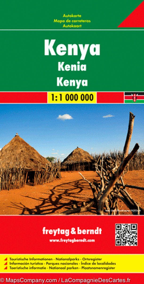
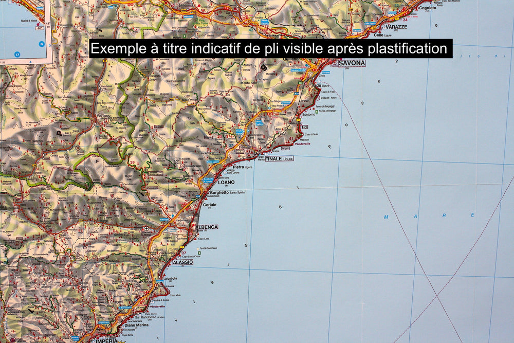
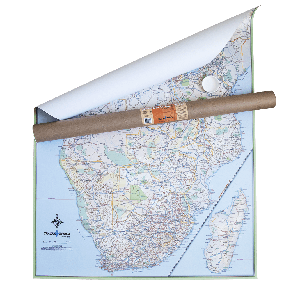
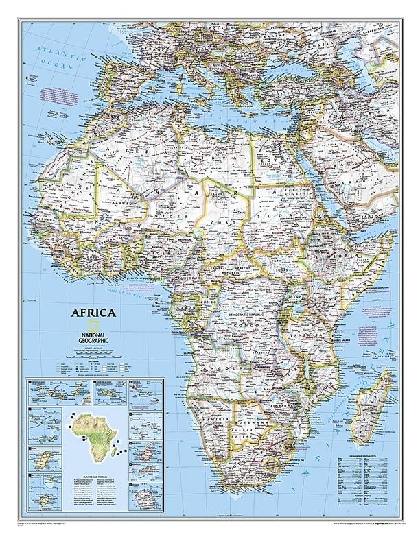
Note that this map is laminatedized on demand, based on the original map that is folded. The folds remain a little visible. The map comes delivered rolled in a mapboard tube. Kenya Road map published by Freytag & Amp Berndt. Scale 1: 1,000,000. This map covers the entire Kenya. The southeastern part of the coast around Mombasa and Malindi is in an inset, with the eastern and west parts of Tsavo National Park and the Border Region of Tanzania (with Kilimanjaro). Mapping the field. Enhancement of points of interest. Distances shown on the map. Index of cities included. Multilingual legend (French, English, German, Italian, Spanish ...).
ISBN / EAN : 9783707914108P
Date de publication : 2012
Echelle : 1/1,000,000 (1cm=10km)
Impression: front
Dimensions déplié(e) : 125 x 95cm
Langue : multilingual including French
Poids :
300 g


