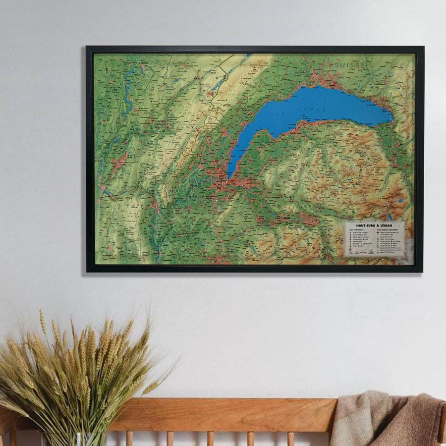
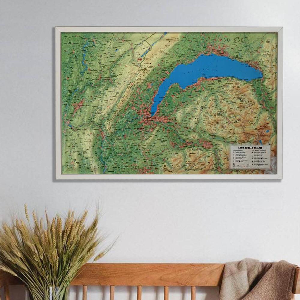
Carte plastifiée - Grandes traversées du Jura | IGN carte pliée IGN

Laminated Map - Great Crossings of Jura | IGN

Laminated Map - Great Crossings of Jura | IGN

Regular price $10.00
/
  • Shipping within 24 working hours from our warehouse in France
  • Delivery costs calculated instantly in the basket
  • Free returns (*)
  • Real-time inventory
  • In stock, ready to ship
  • Backordered, shipping soon
Tax included.

Two-sided laminatedized map which gives a good overview of the routes to cross the French Jura.

- 3 departments crossed: the Doubs, the Jura and Ain

- 397 kilometers

- Scale 1/105 000 (1 cm = 1.05 km).

- Essential help in the preparation of the course:

  • hiking traces, cyclo & amp ATV,
  • the steps,
  • accommodation,
  • Altimetry profile of the pedestrian path,
  • Profile of the course and main halt and tourist places indicated.

    Discovery collection of paths.


ISBN/EAN : 9782758547921
Publication date: 2019
Scale: 1/105,000 (1cm=1.05km)
Printed sides: both sides
Folded dimensions: 24.7 x 11cm
Language(s): French English
Poids : 90 g

Customer Reviews

Based on 1 review
100%
(1)
0%
(0)
0%
(0)
0%
(0)
0%
(0)
V
Vincent F.
Top

Ca commence toujours par une carte