Grande Traversée du Jura (GTJ)

11 products

All the maps and topoguides to hike on the GTJ (Grande Traversée du Jura) on foot, but also with mountain biking or on horseback. This path extends from Montbéliard to Culoz over a length of 388 km.
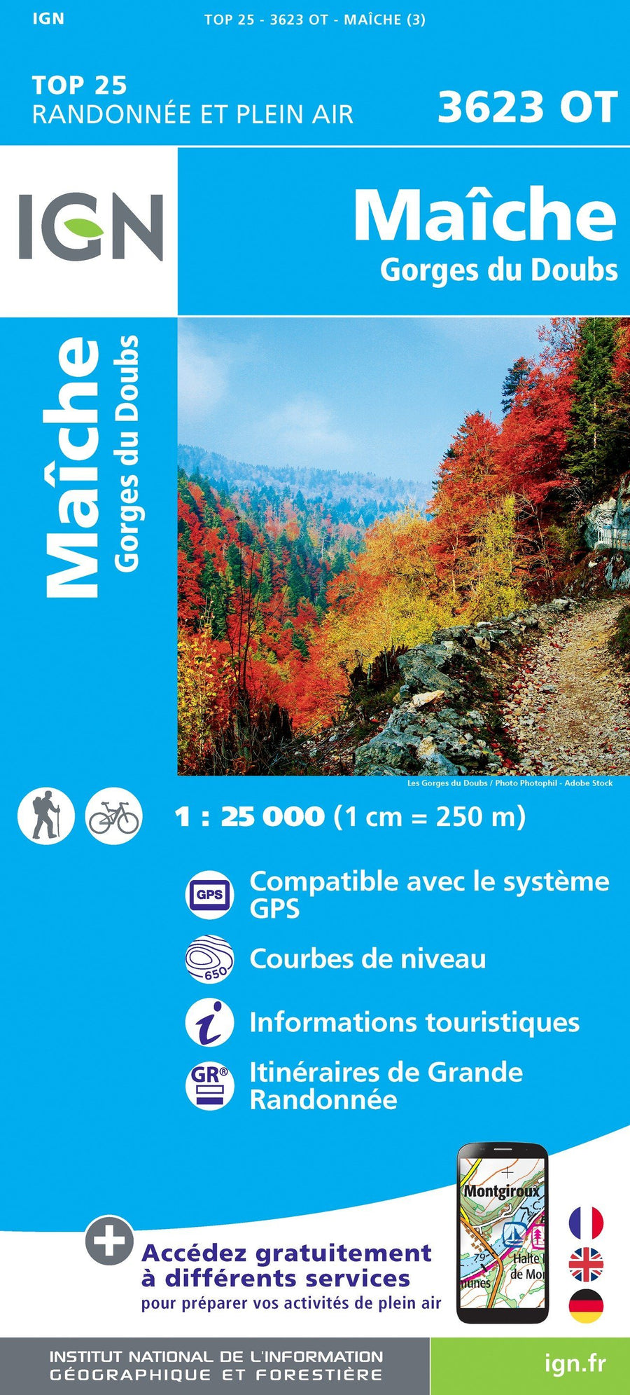
Carte TOP 25 n° 3623 OT - Maiche, Gorges du Doubs | IGN carte pliée IGN
TOP 25 Map No. 3623 OT - Maiche, Gorges du Doubs | IGN
IGN
$17.00
Carte TOP 25 n° 3622 OT - Montbéliard, Vallée du Doubs | IGN carte pliée IGN
TOP 25 Map No. 3622 OT - Montbéliard, Doubs Valley | IGN
IGN
$17.00
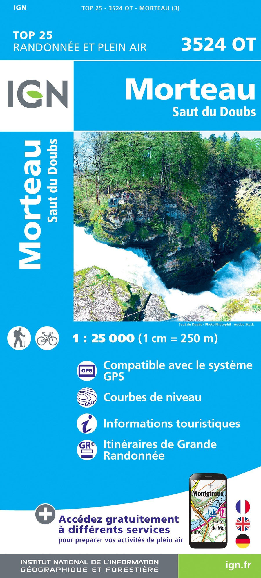
Carte TOP 25 n° 3524 OT - Morteau, Saut du Doubs | IGN carte pliée IGN
TOP 25 Map No. 3524 OT - Morteau, Saut du Doubs | IGN
IGN
$17.00
Carte TOP 25 n° 3331 OT - Rumilly, Seyssel (Alpes) | IGN carte pliée IGN
TOP 25 Map No. 3331 OT - Rumilly, Seyssel (Alps) | IGN
IGN
$17.00
Carte plastifiée - Grandes traversées du Jura | IGN carte pliée IGN
Laminated map - Great Crossings of Jura | IGN
IGN
$12.00