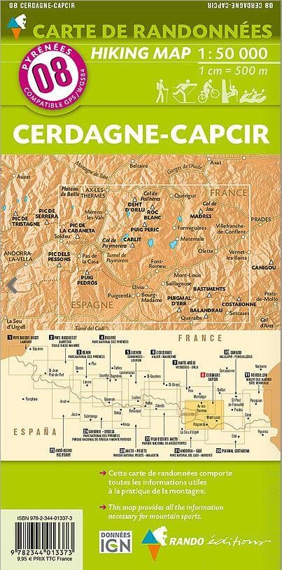
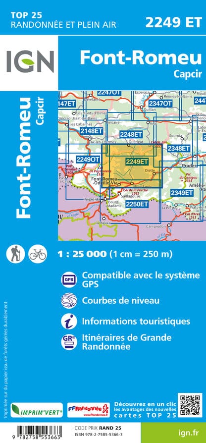
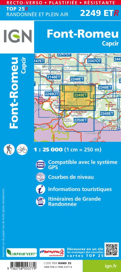
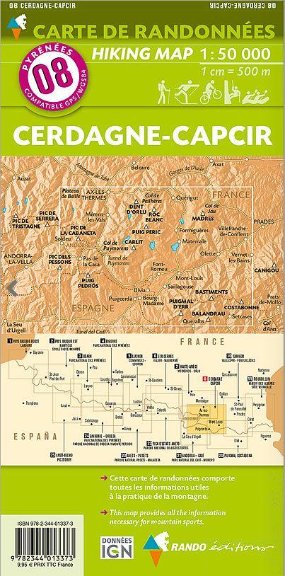
Top 75 Topographic map of Catalan Pyrenees, Font Romeu, Canigou Massif published by IGN. This detailed map covers the Catalan Pyrenees, with the region of Font Romeu and the Canigou Massif. Level curves, detailed legend and indication of hiking trails. Cities index.
This map includes 5 zooms at 1/25,000 scale to discover exceptional hikes.
ISBN/EAN : 9782758556190
Publication date: 2025
Scale: 1/75,000 (1cm=750m) & 1/25,000 (1cm=250m)
Printed sides: front
Folded dimensions: 24.6 x 11.2 x 0.7cm
Unfolded dimensions: 130 x 100cm
Language(s): French, English, German
Weight:
89 g


