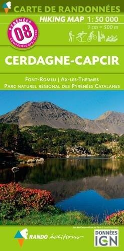
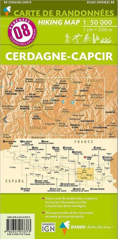
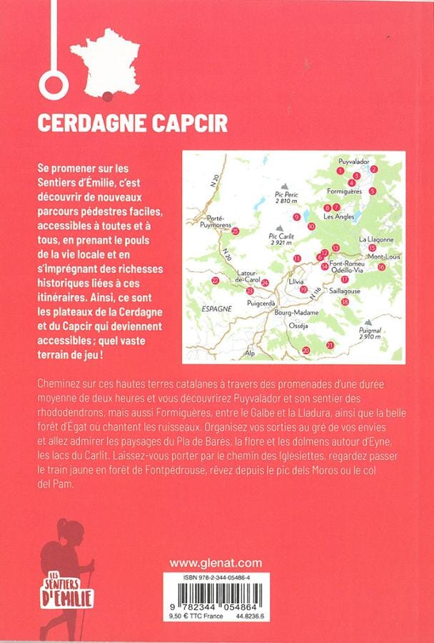
Hiking map No. 8 - Cerdanya and Capcir (Catalan Pyrenees) - WALL AND LAMINATED VERSION | Rando Editions

Price
Regular price $91.00
Regular price Sale price $91.00
Save $-91
/
  • Custom-made product - Shipping to mainland France, Belgium, Germany, Luxembourg, and the Netherlands within 7 to 10 working days from our workshop. Other regions: contact us
  • Delivery costs calculated instantly in the basket
Tax included.

Often purchased together:

This is a laminated poster version of the Rando Editions map of Cerdagne and Capcir.

This Pyrenees hiking map No. 8 covers the Cerdagne and Capcir region in the Pyrénées Orientales. It covers the region of Font-Romeu, Ax-les-Thermes, and the Catalan Pyrenees Regional Natural Park. Contour lines and tourist information (accommodation, etc.) are included.

Please note that this map is laminated on request, based on the original map, which is folded. The folds remain slightly visible.

The card is delivered rolled in a cardboard tube.

An additional few days are required for the card to be manufactured.

As this product is custom-made at the request of our customers, it cannot be returned.


ISBN / EAN : 9782344013373P
Date de publication : 2016
Echelle : 1/50,000 (1cm=500m)
Impression: front
Dimensions déplié(e) : 131 x 90cm
Langue : French English
Poids : 300 g

Customer Reviews

Be the first to write a review
0%
(0)
0%
(0)
0%
(0)
0%
(0)
0%
(0)