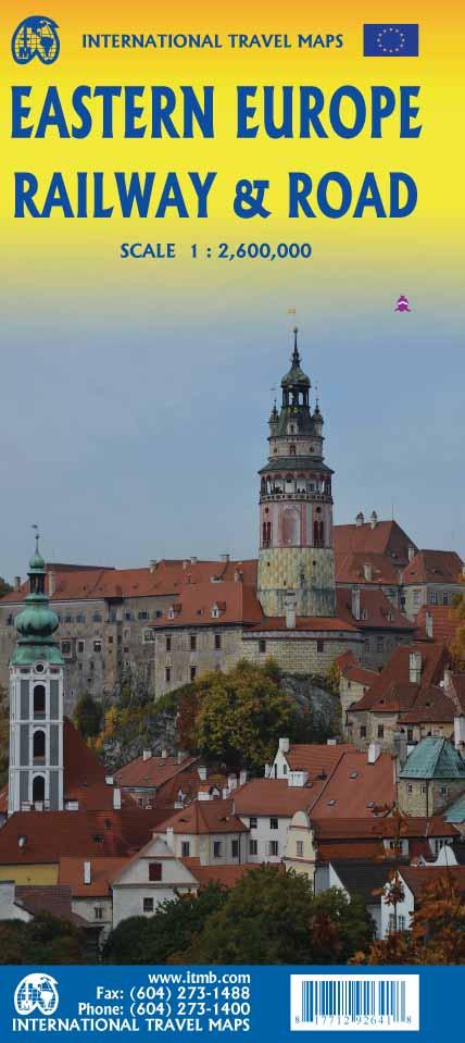
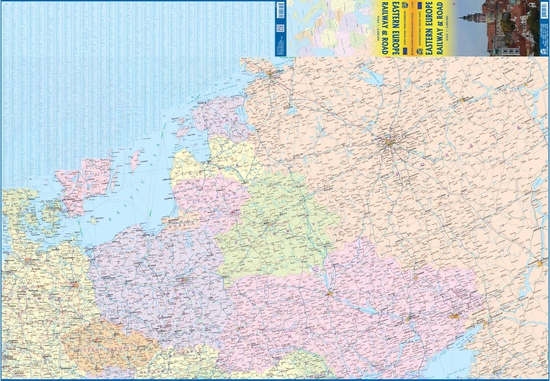
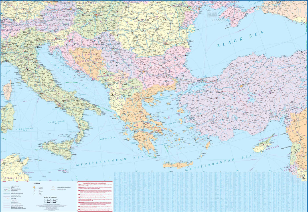
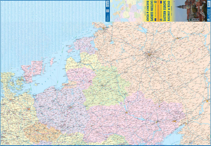
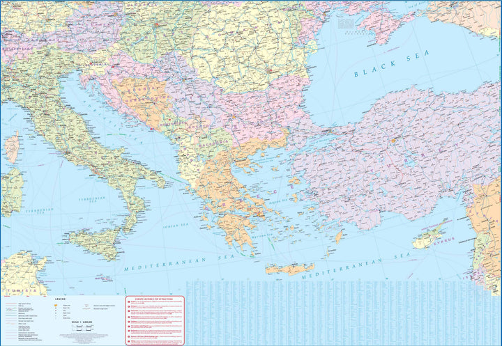
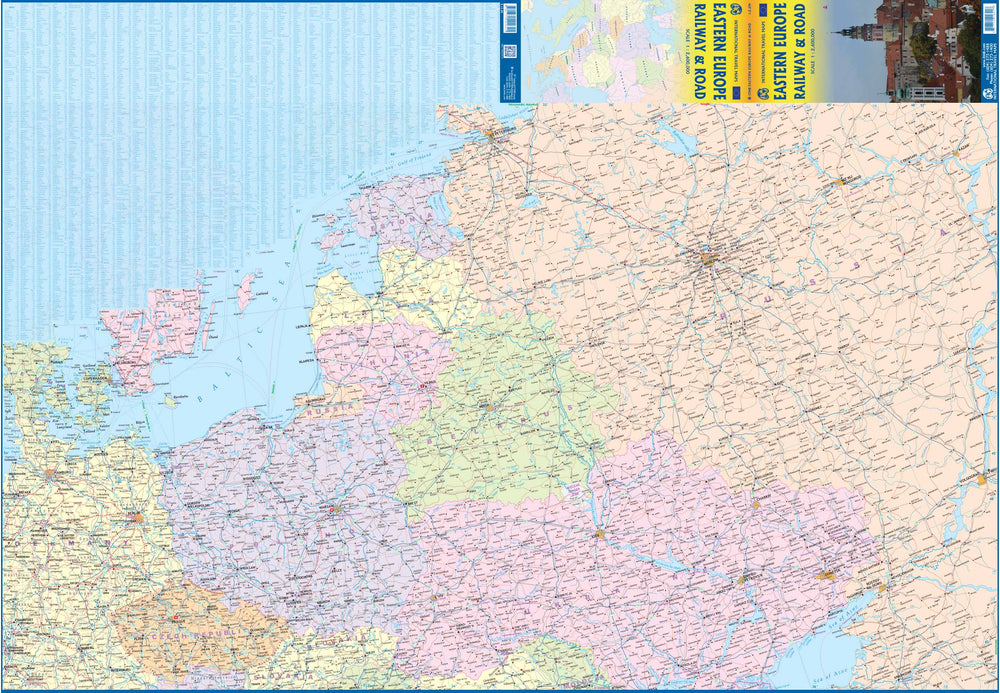
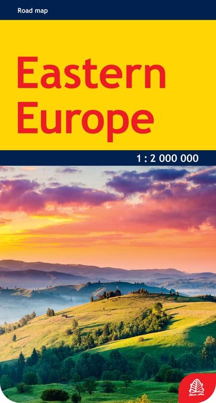
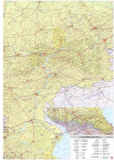
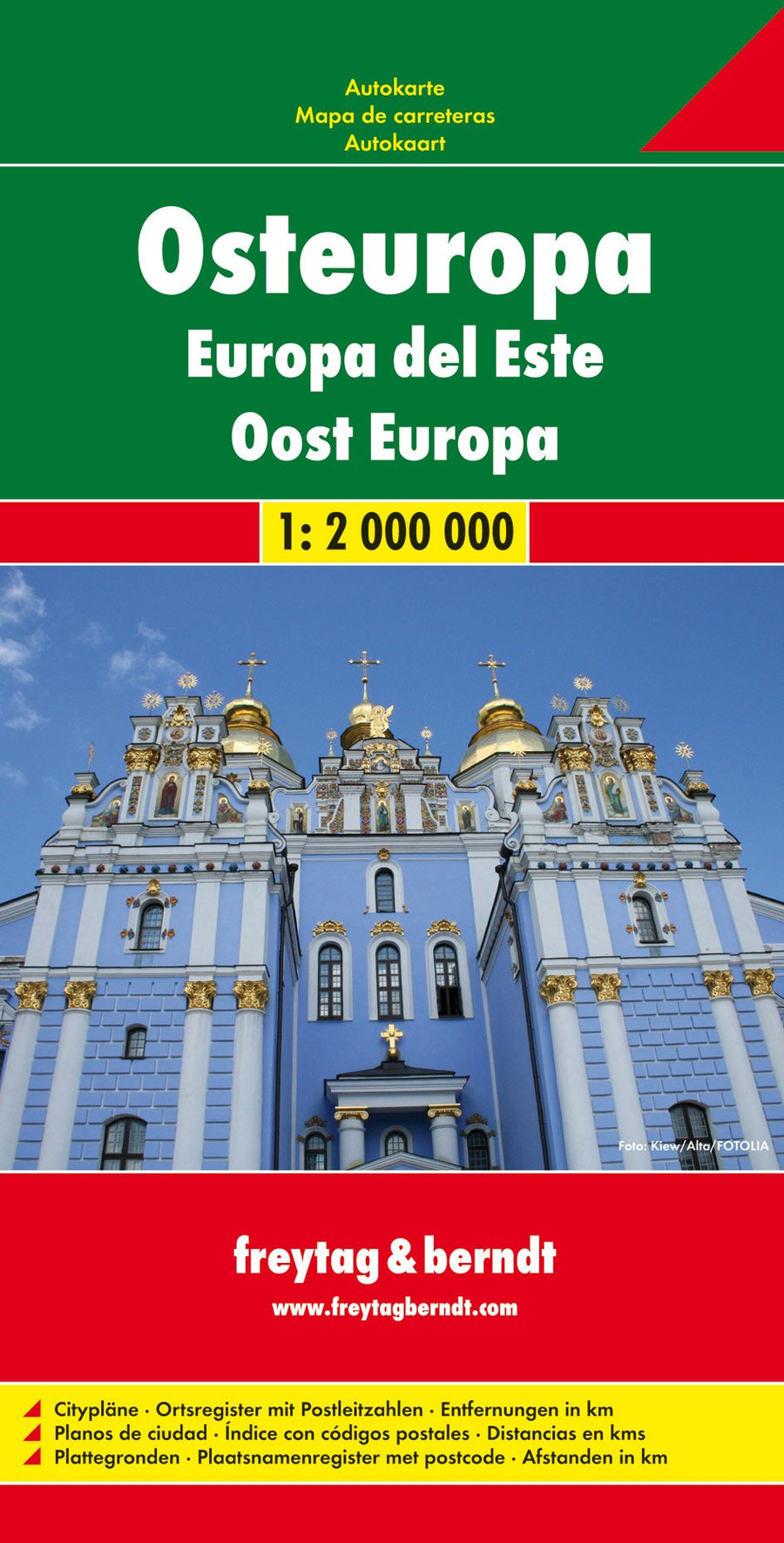
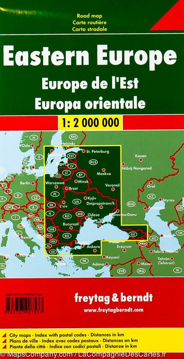
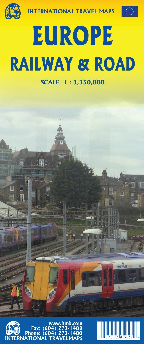
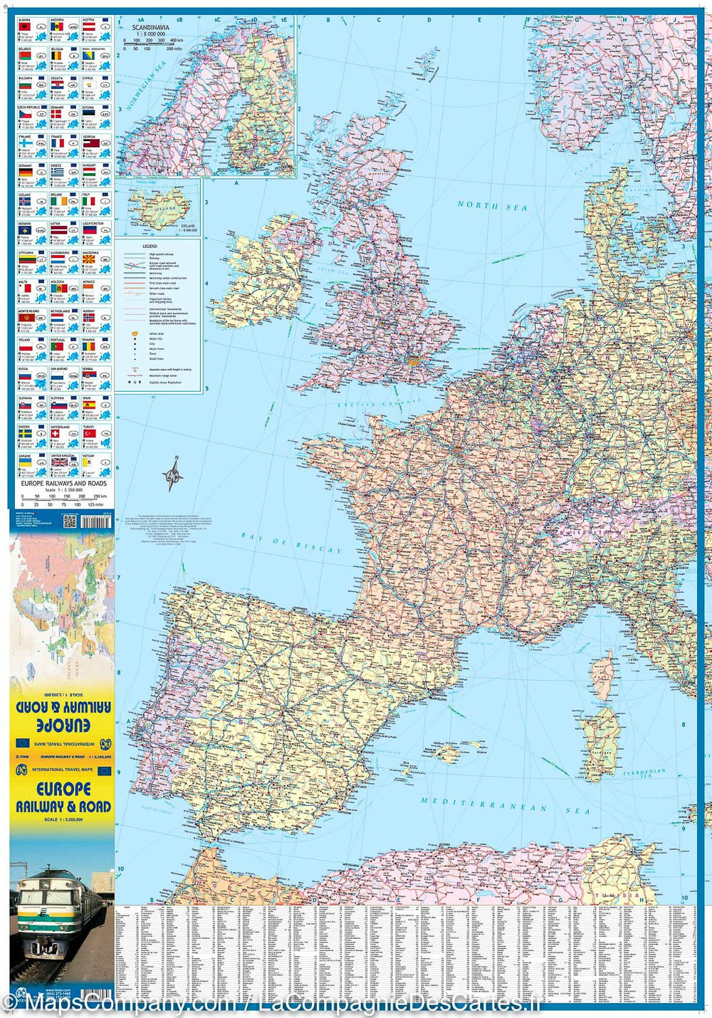
Detailed map of the roads and railways of Eastern Europe published by ITM.
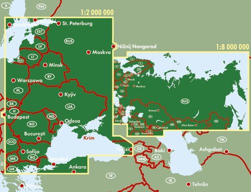
This map covers Italy, Greece and the countries of the Balkans, the countries of Central Europe that are Romania and Hungary and most of Ukraine, Poland and the Three Baltic States, as well as that Western Russia to Volgograd, much of Turkey is also included.
This is a combined road and railway map, showing highways and major roads, fast - lines in red and regular black services. The main cruise lines are also indicated.
The legend includes:
main motorway, multi - channel highway, high speed railway, sea crossing, border international cities, national park, international airport, port, historical site, monument, world heritage, volcano, etc.
ISBN/EAN : 9781771292641
Publication date: 2021
Scale: 1/2,600,000 (1cm=26km)
Printed sides: both sides
Folded dimensions: 24.6 x 10.3 x 0.5cm
Unfolded dimensions: 100 x 68cm
Language(s): English
Weight:
54 g


