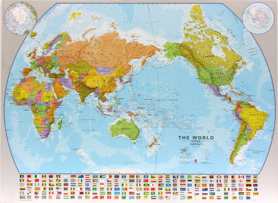
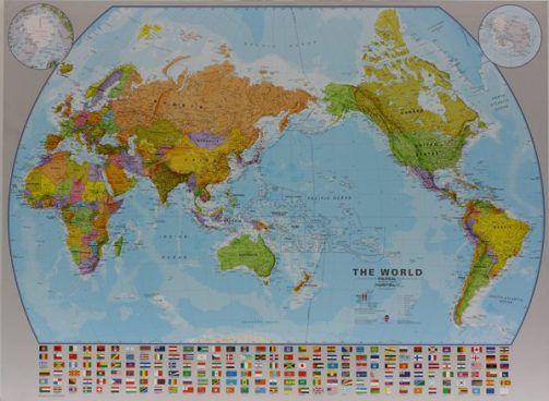
Side 1: Political map of the world
This map represents the world from a political point of view:
-
The major countries are listed with their administrative divisions (provinces or states).
-
A relevant selection of cities is also included.
-
Politically sensitive areas are carefully depicted:
-
Ukraine is shown with its internationally recognized borders,
-
Palestine is named, even though Gaza is too small to be visible,
-
Taiwan is visually differentiated from mainland China,
-
Western Sahara is colorful but unnamed,
-
The Gulf of Mexico is commonly named after him.
-
Clocks indicating time zones are placed in the margins, and Svalbard is named by its Norwegian designation.
Side 2: World flags & essential data
The second side of the card shows:
-
The flags of all internationally recognized countries , listed in alphabetical order .
-
For each country: location on the map , area , capital , population (latest data available).
ISBN/EAN : 9781771299053
Publication date: 2025
Scale: 1/43,400,000 (1 cm = 434 km)
Printed sides: both sides
Folded dimensions: 24.6 x 10.3 x 0.5cm
Unfolded dimensions: 68x100cm
Language(s): English
Weight:
109 g


