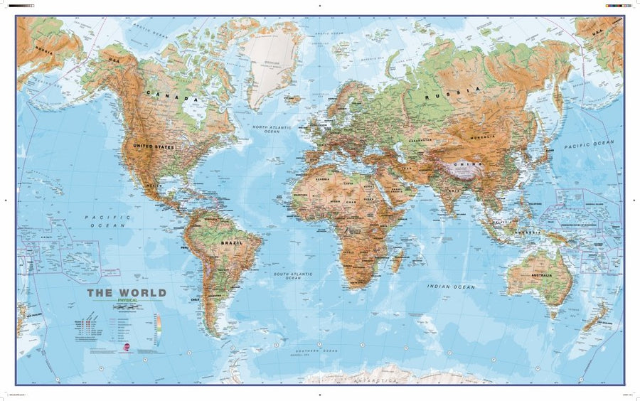
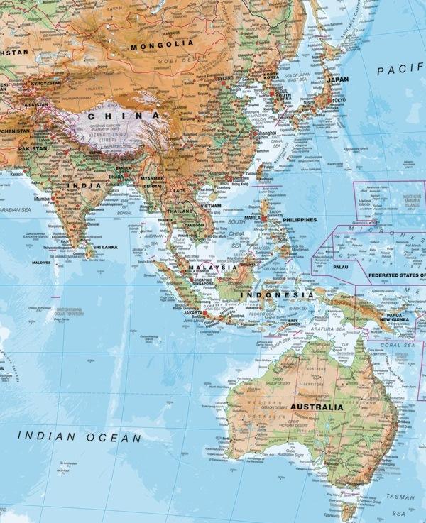
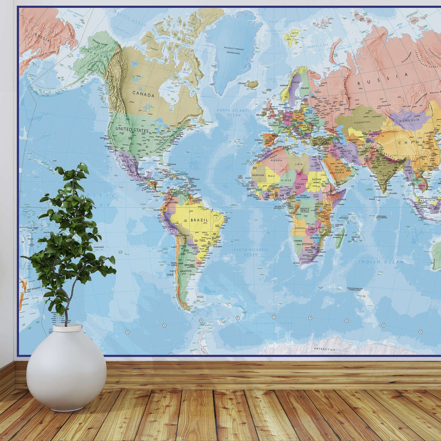
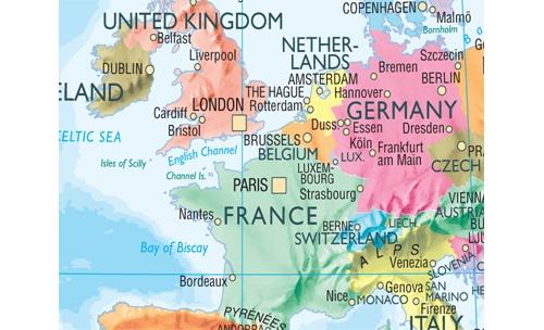
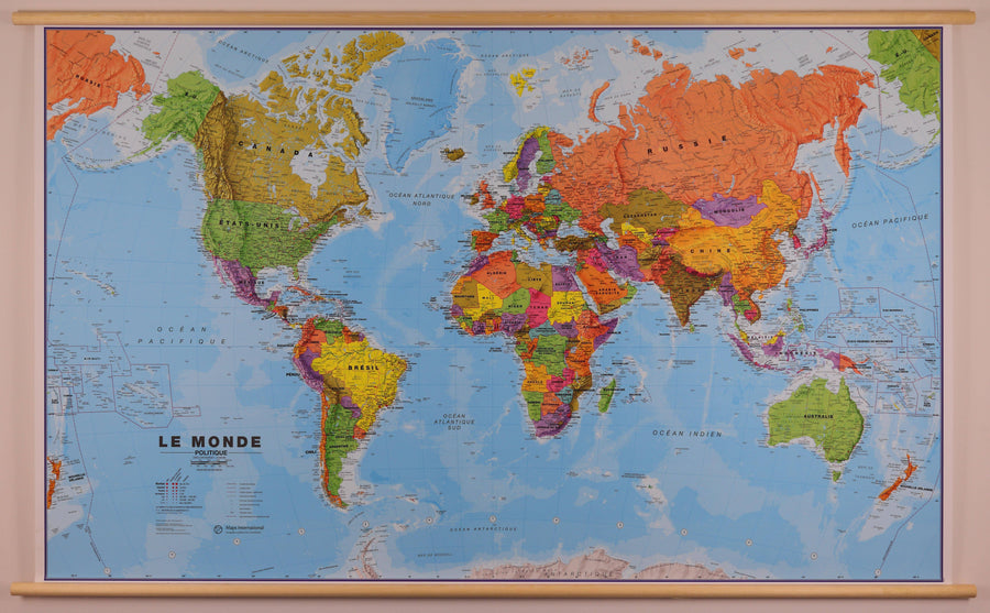
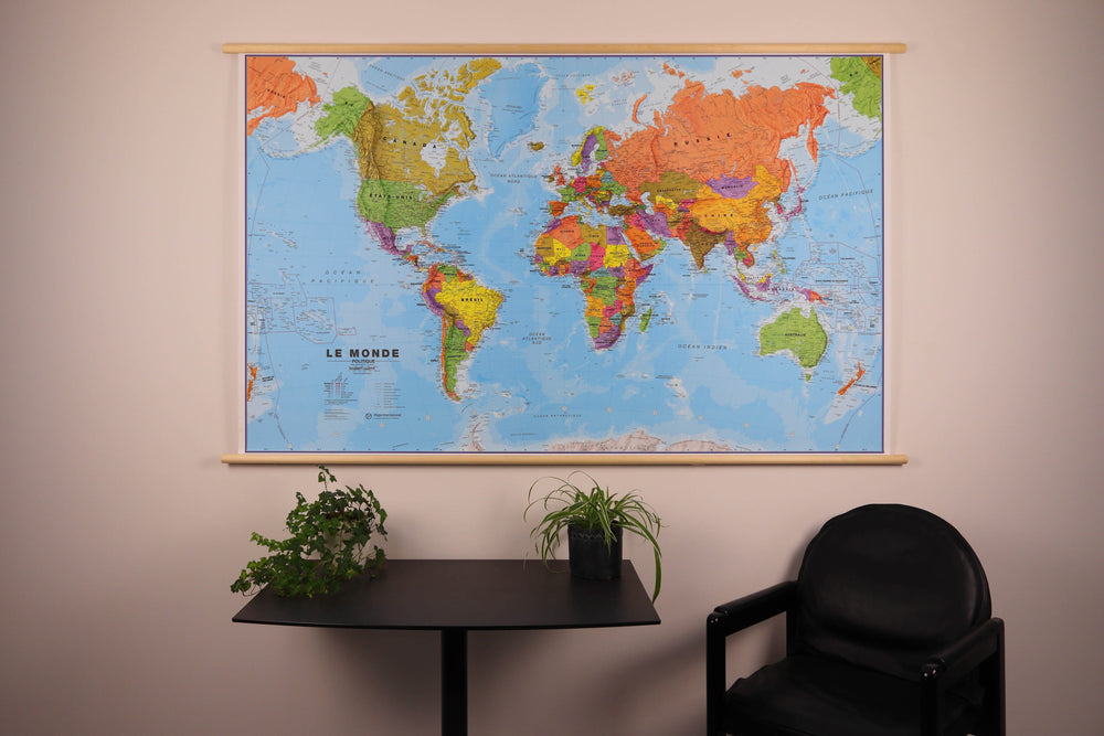
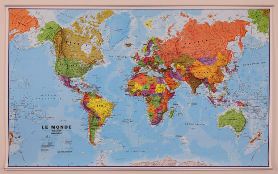
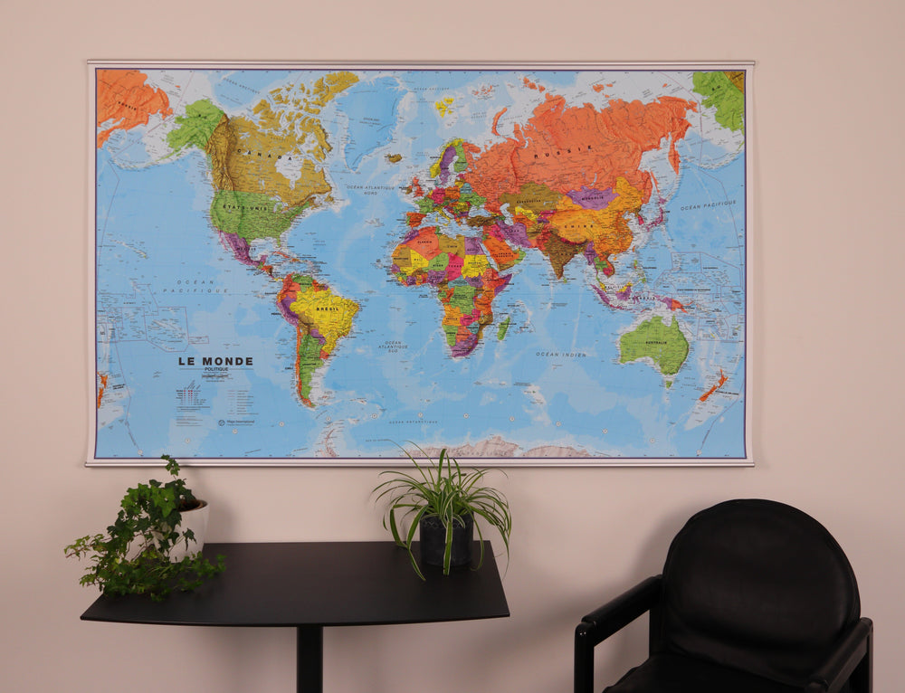
Wall map (in English) - Physical world - 1/30M (136 x 84 cm) | Maps International

Price
Regular price $24.00
Regular price Sale price $24.00
Save $-24
/
  • Shipping within 24 working hours from our warehouse in France (except laminated models)
  • Delivery costs calculated instantly in the basket
  • Real-time inventory
  • In stock, ready to ship
  • Backordered, shipping soon
Tax included.

Often purchased together:

Physical World Wall Map (in English). Physical relief is successfully combined with rivers and country names. Borders are clearly displayed.
A blurring effect shows the mountain in an almost 3D effect. A symbol allows you to identify the highest mountain on the continents and in different countries.
Country names and boundaries are clearly marked. Symbols indicate capital cities and state or provincial capitals (where applicable). Within the United States, Canada, Brazil, and Australia, internal state or provincial boundaries are shown.
The variation in ocean depth is indicated by several shades of color. The mid-Pacific, from Alaska/Siberia to New Zealand, is shown at both ends of the map for a better representation of this region.
The projection used is the Van der Grinten projection.

The dimensions of the wall map are: 136 x 84 cm .


    ISBN / EAN : 9781910378045
    Date de publication : 2022
    Echelle : 1/30,000,000 (1cm=300km)
    Impression: front
    Dimensions déplié(e) : 136 x 84cm
    Langue : English
    Poids : 300 g

    Customer Reviews

    Be the first to write a review
    0%
    (0)
    0%
    (0)
    0%
    (0)
    0%
    (0)
    0%
    (0)