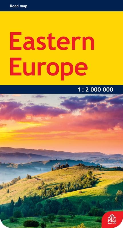
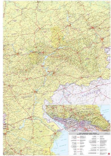
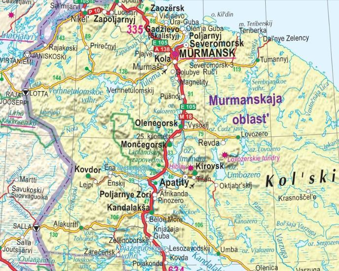
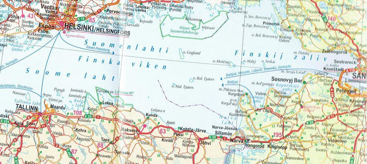
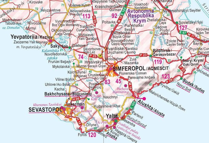
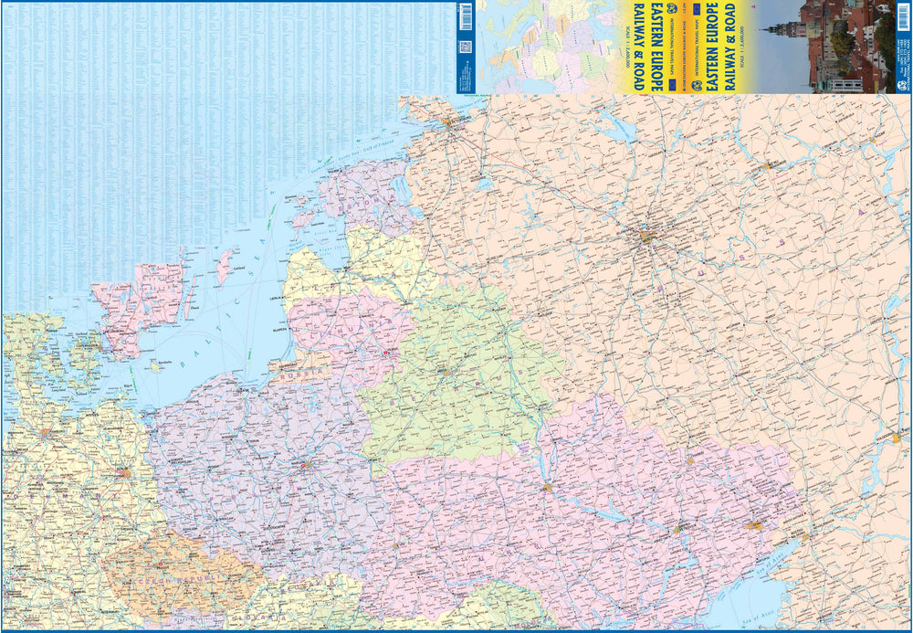
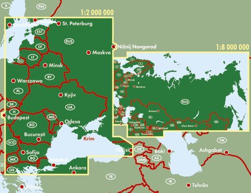
The verso extends further to Russia, Moscow and Rostov - Na - Donu to the Urals, and the Caucasus region in Syktyvkar to the North. The Caucasus region is described in a box.
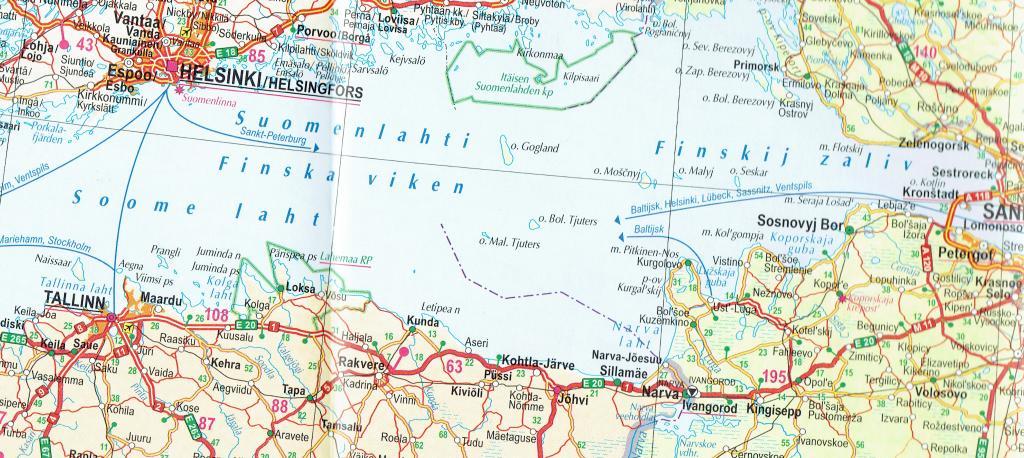
The main roads and the railways are clearly drawn and the intermediate driving distances are indicated on the map. Administrative districts and border checkpoints are marked.
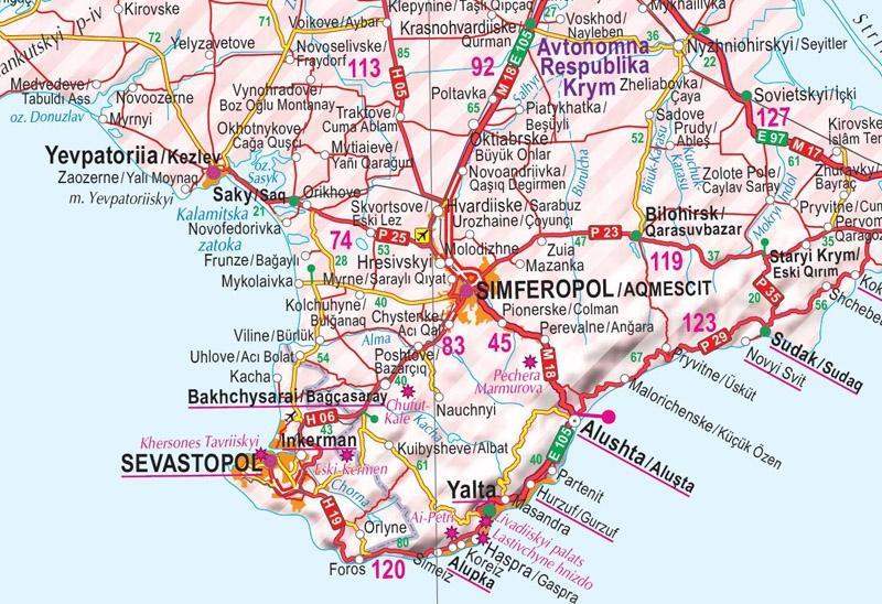
Names are given in the languages of origin, including the Russian languages.
Also included: railway lines and ferry, airports, border crossing points, administrative boundaries, main tourist sites, national parks, unregulated political status (Transnistria, Abkhazia, South Ossetia, Crimea) and Chernobyl.
The legend of the map includes English.
ISBN/EAN : 9789984073903
Publication date: 2015
Scale: 1/2,000,000 (1cm=20km)
Printed sides: both sides
Folded dimensions: 12.5 x 24cm
Language(s): French, English, German, Latvian, Russian, Estonian, Lithuanian, Polish
Weight:
80 g


