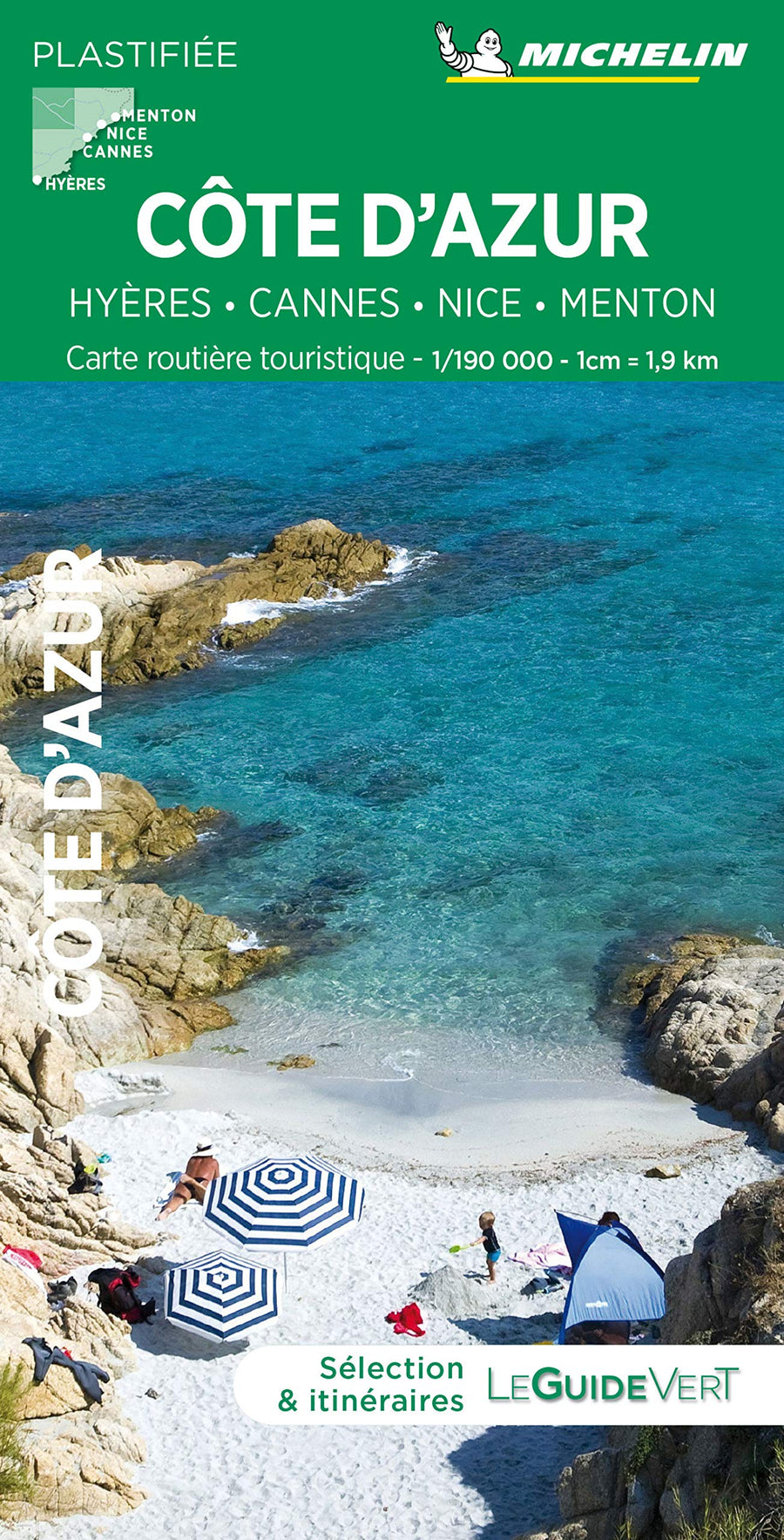
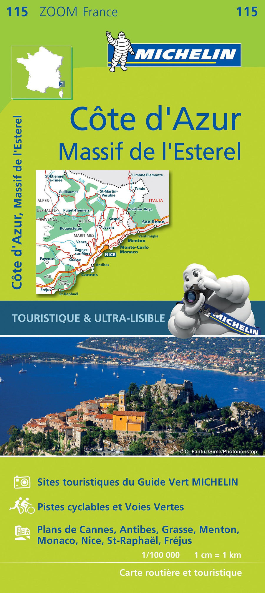
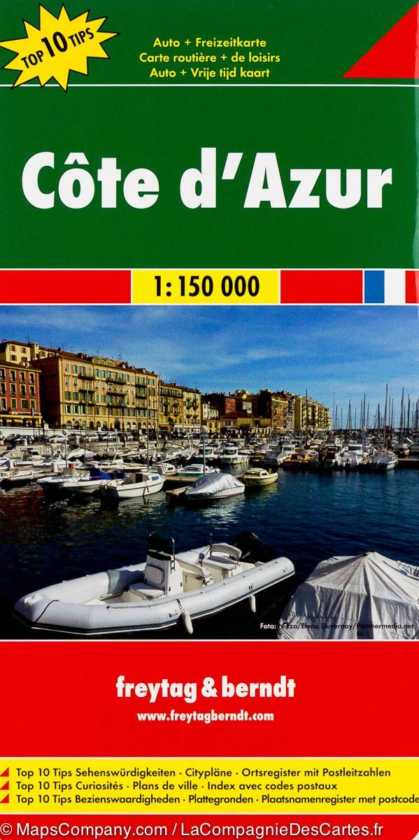
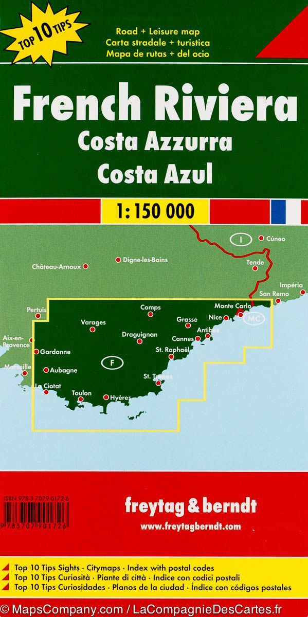
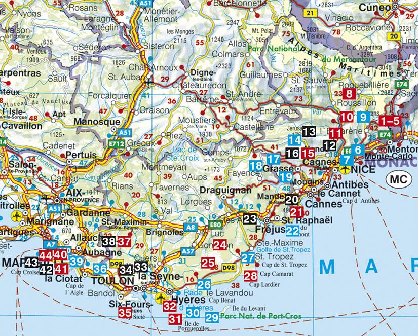
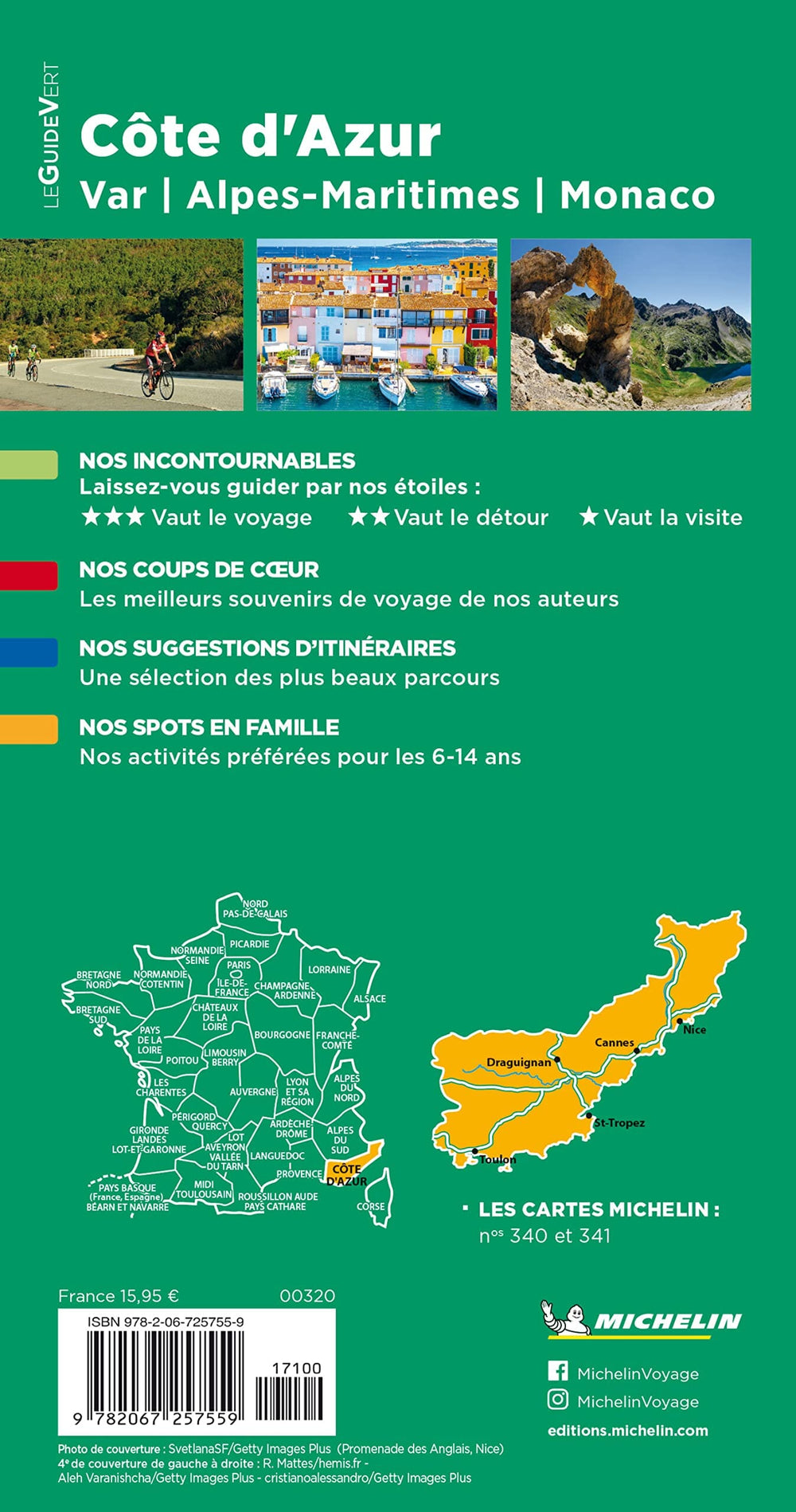
TOP 25 Map No. 3742 OT - Nice, Menton (Côte d'Azur) | IGN

Price
Regular price $16.00
Regular price Sale price $16.00
Save $-16
/
  • Shipping within 24 working hours from our warehouse in France
  • Delivery costs calculated instantly in the basket
  • Free returns (*)
  • Real-time inventory
  • In stock, ready to ship
  • Backordered, shipping soon
Tax included.

Often purchased together:

TOP 25° 3742OT topographic map of the Nice and Menton region published by IGN. Hiking map with contour lines spaced 10 meters apart and detailed legend (vegetation, rocks, waterways, etc.).

Indication of hiking trails. Scale 1/25,000 (1 cm = 250 m).

Municipalities covered: Gattières, Berre-les-Alpes, Blausasc, Castellar, Beausoleil, Falicon, Tourrette-Levens, Bendejun, Cantaron, Castillon, Saint-Blaise, La Turbie, Gorbio, Carros, Aspremont, Saint-André-de-la-Roche, La Trinité, Colomars, Châteauneuf-Villevieille, Peille, Saint-Jean-Cap-Ferrat, Villefranche-sur-Mer, Menton, Sainte-Agnès, Cap-d'Ail, Roquebrune-Cap-Martin, Saint-Laurent-du-Var, Nice, Beaulieu-sur-Mer

Places to discover: French Prealps, Mont Chauve d'Aspremont, Mont Boron, Cap Martin, Mont Alban, Col d'êze, Cap Ferrat, Corn. du Var, Cara Valley, Paillon Gorges, Crans Castle, Bonmont Abbey, Castle, Carroz Cabin, Borsattaz Fir Trees, Saut du Day, Réclère Cave, Les Pralets Cabin, Rochefort Cabin, Roche d'Or Signal, Trois Chalets Cabin, Dent de Vaution Chalet


ISBN/EAN : 9782758557784
Publication date: 2025
Scale: 1/25,000 (1cm=250m)
Printed sides: front
Folded dimensions: 23.6 x 11.2 x 0.5cm
Unfolded dimensions: 96 x 132cm
Language(s): French, English, German
Weight: 89 g

Customer Reviews

Be the first to write a review
0%
(0)
0%
(0)
0%
(0)
0%
(0)
0%
(0)