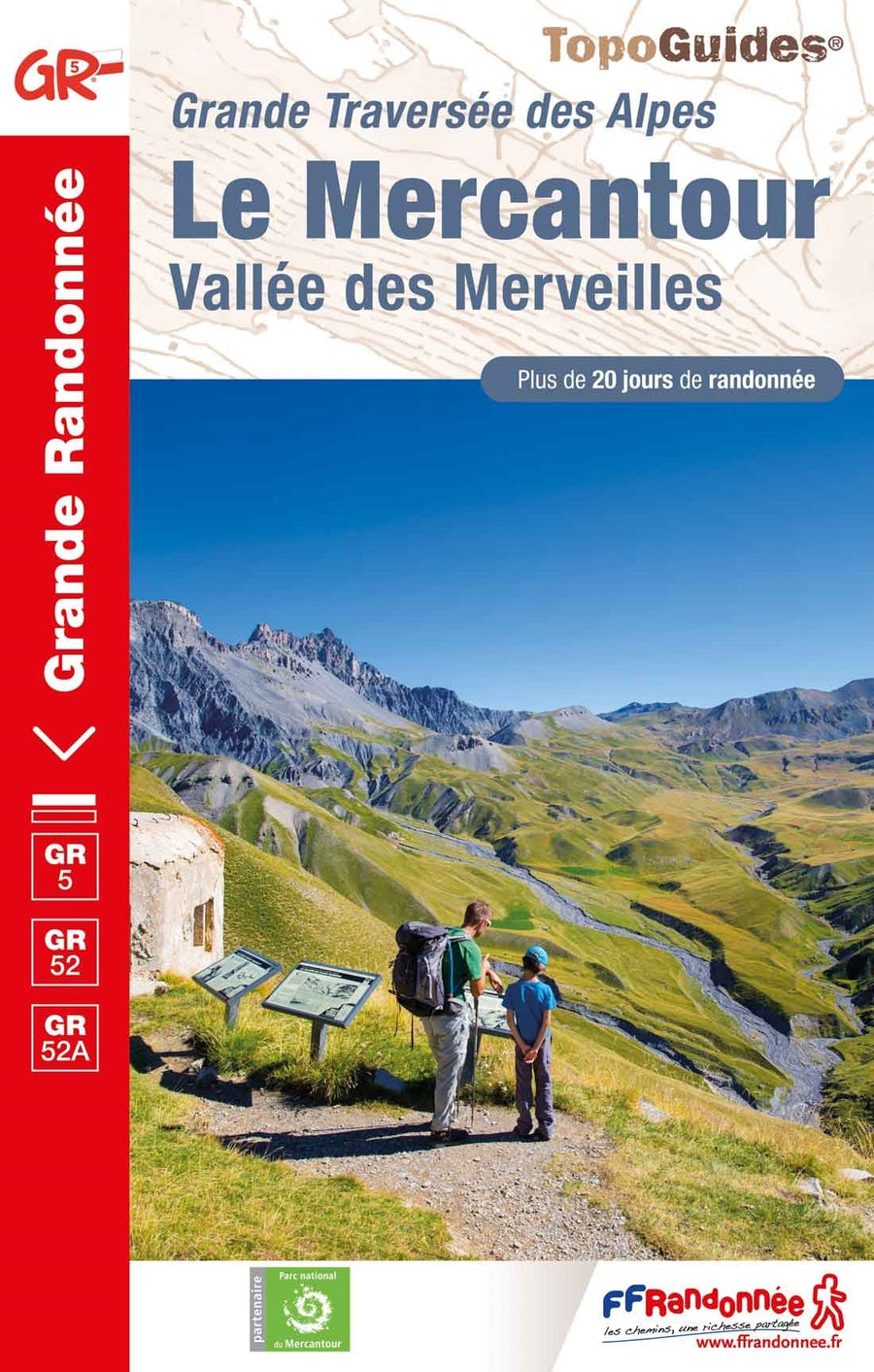
Hiking guide to the Alpes Maritimes - Mercantour, Vallée des Merveilles - published by Rother with around forty detailed hiking descriptions.
A brief description of the hike with all the important information, a color map and a precise description of the route for each excursion make it easier to choose and find your way around on site.
- Detailed hiking maps
- Informative altitude profiles
- GPS tracks to download
88 photos, 49 elevation profiles, 49 maps at 1:25,000 / 1:50,000 / 1:75,000, 1 synoptic map 1:500,000
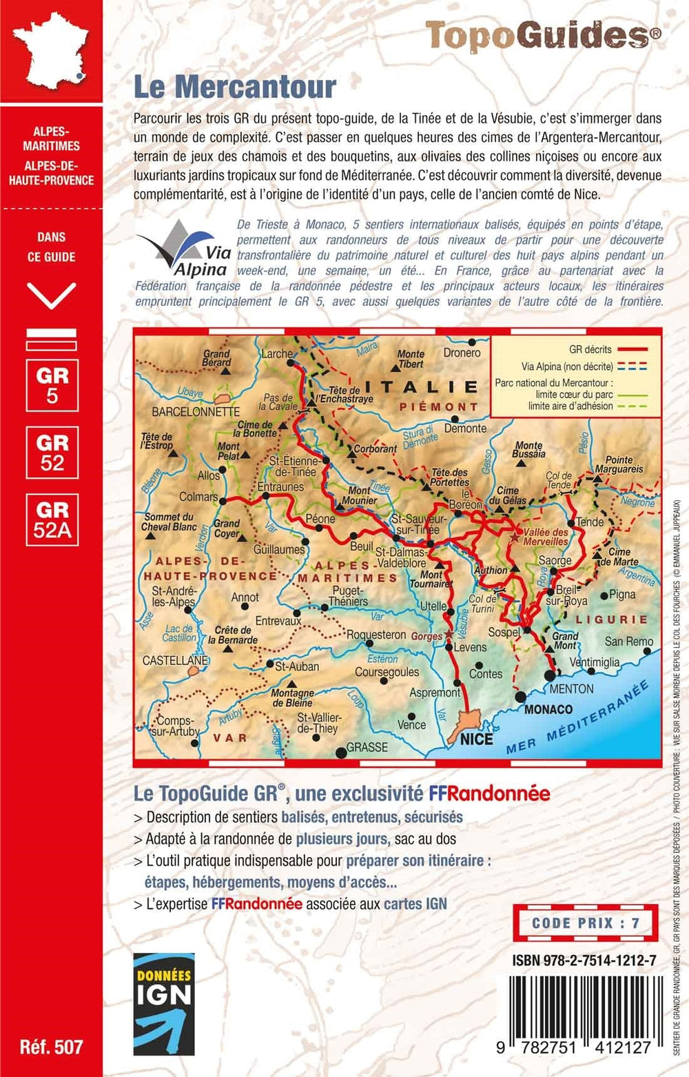
If there is a paradise on earth for hikers, the Alpes Maritimes in southeastern France are certainly one of them. The landscape between the Côte d'Azur and the 3,000-meter peaks is incredibly diverse and invites hiking 365 days a year. While beach-loving vacationers sunbathe, others, the hikers, bathe in the pleasant scents of rosemary, thyme, broom, and lavender. The most beautiful jewel of this region is the Mercantour National Park, the newest of France's six national parks, which stretches from the Vallée des Merveilles in the east to the Alpes-de-Haute-Provence department, passing Mont Gélas at 3,143 meters.
Even though hordes of tourists descend on the Côte d'Azur in summer, solitude begins in the Alpes Maritimes, just a few kilometers as the crow flies from the Mediterranean Sea. This landscape is dominated by idyllic villages, mid-altitude Mediterranean massifs, and the Mercantour National Park, in places with an alpine character. With a few exceptions such as Madone de Fenestre, St-Martin Vésubie, Col de la Bonette, and Lac d'Allos, solitude reigns, something practically unimaginable for an August vacationer on the Riviera.
Reinhard Scholl presents 49 half-day to full-day hikes, all described in detail and illustrated with a map and color photos. This hiking guide will be a valuable resource during your travels in the Nice hinterland.