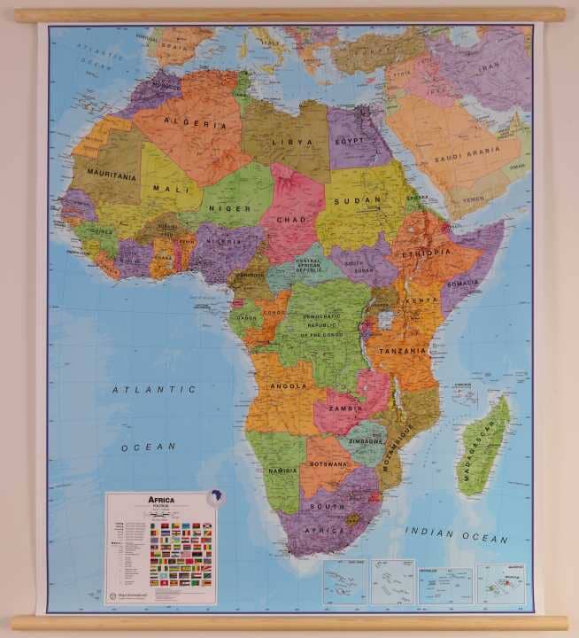
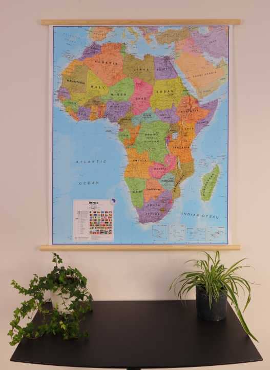
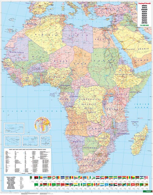
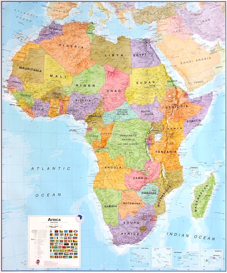
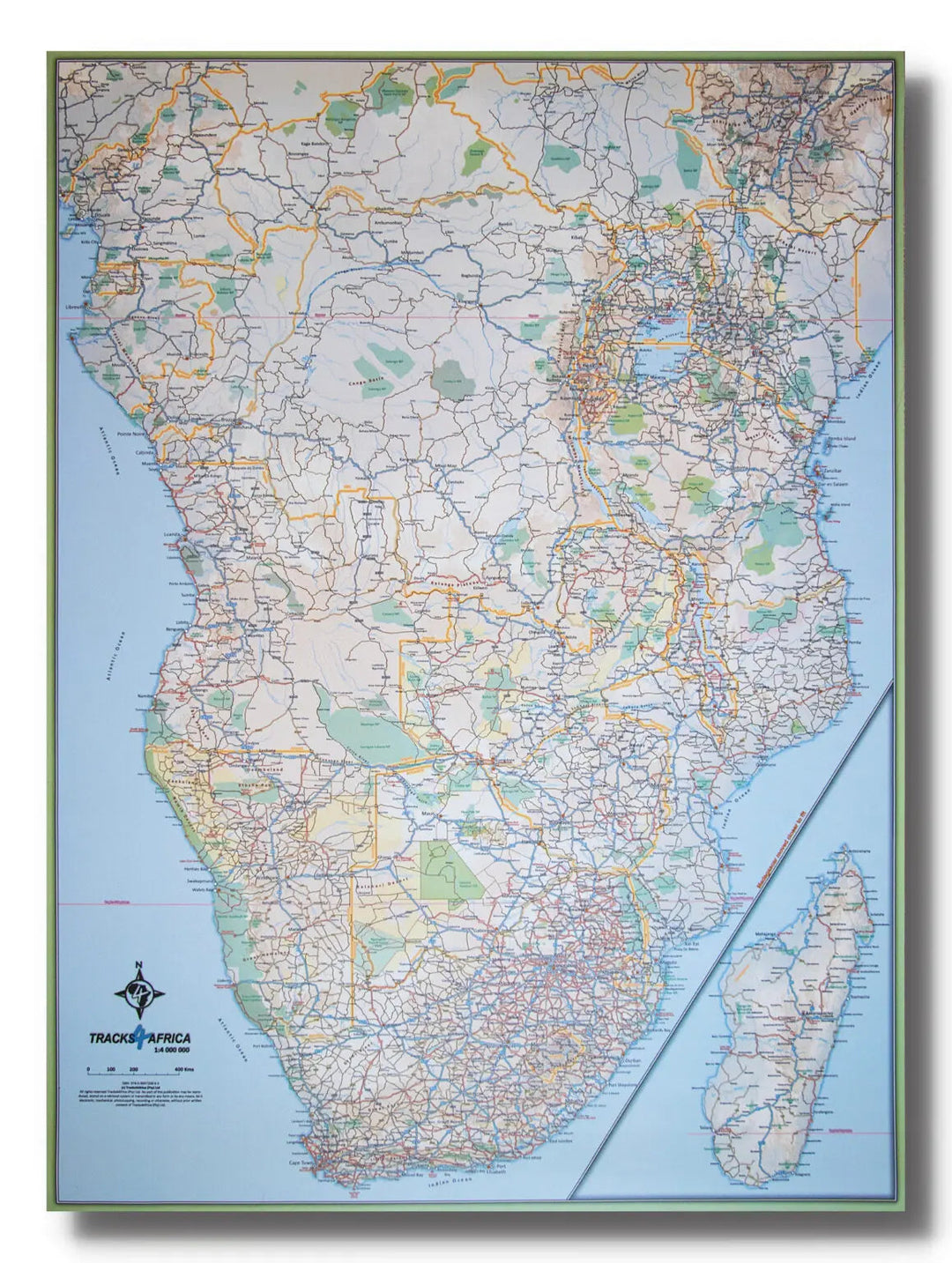
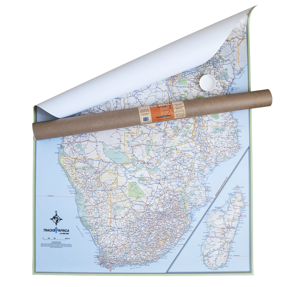
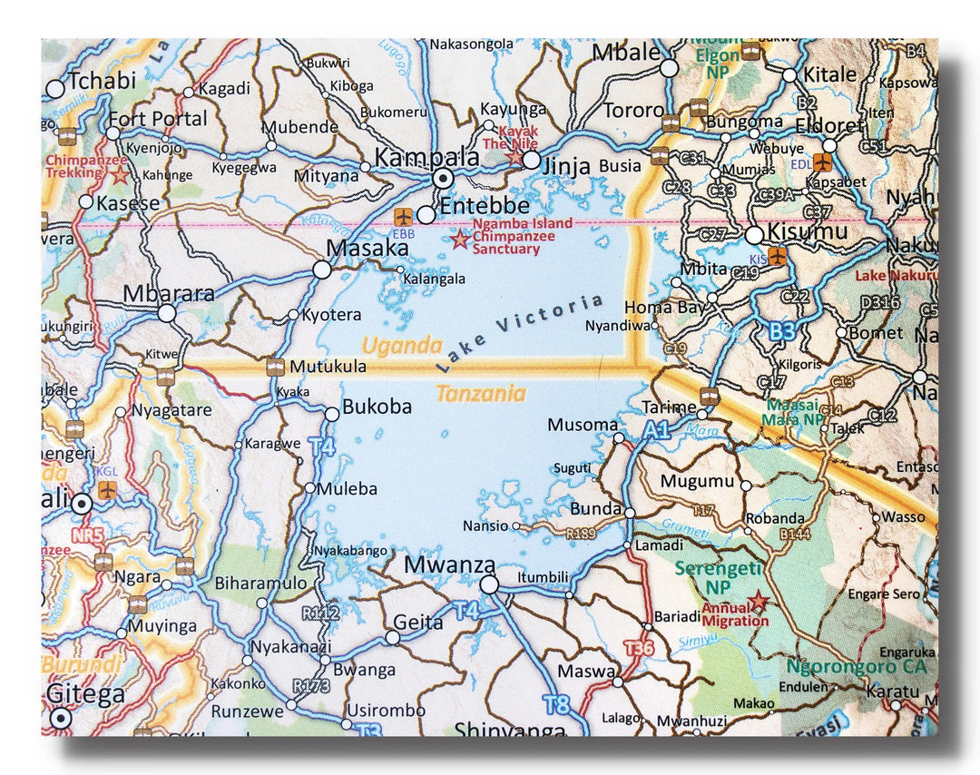
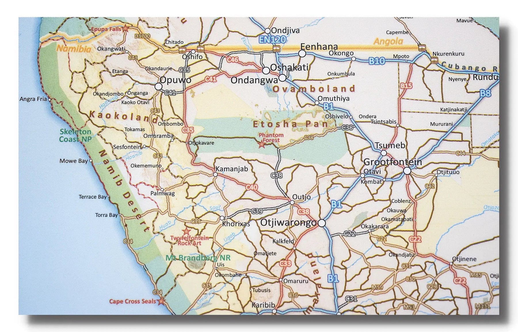
Laminated Wall Map - Africa, Southern Part - 130 x 98 cm | Tracks4Africa

Price
Regular price $108.00
Regular price Sale price $108.00
Save $-108
/
  • Shipping within 7 to 10 working days from our warehouse in France
  • Delivery costs calculated instantly in the basket
Tax included.

Often purchased together:

The Tracks4Africa wall map of the southern part of Africa is printed at a scale of 1:4,000,000 (1 cm = 40 km) and and is laminated on both sides.

It provides a wealth of information for travelers. The map is perfect for macro-planning long road trips across the African continent as far east as Ethiopia and Gabon.

The map shows major and minor roads, parks, towns, and a good number of tracks in remote areas. Major tourist attractions are marked. International airports and country borders suitable for vehicle crossings are indicated.

The map covers the area from South Africa in the south to Ethiopia and Gabon in the north. Please note that not all of Ethiopia could be included, but the map extends as far north as Addis Ababa.

Please note: This map may take approximately one additional week to ship.


ISBN / EAN : 9780620907293
Date de publication : 2021
Echelle : 1/4,000,000 (1cm=40km)
Dimensions déplié(e) : 130 x 98cm
Langue : English
Poids : 300 g

Customer Reviews

Be the first to write a review
0%
(0)
0%
(0)
0%
(0)
0%
(0)
0%
(0)