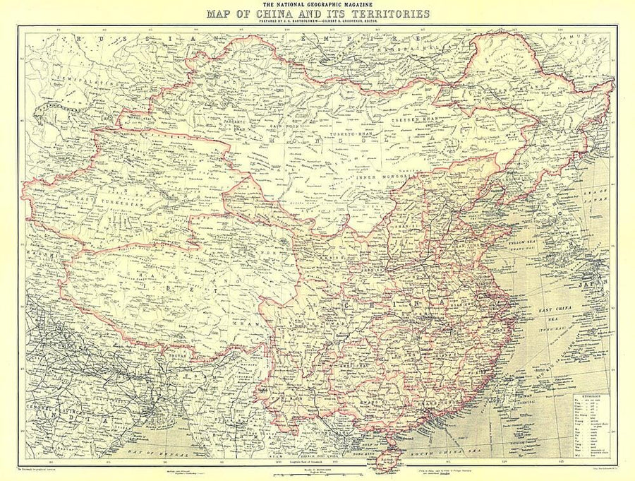
1912 China and Its Territories Map Wall Map

1912 China and Its Territories Map

Price
Regular price $26.00
Regular price Sale price $26.00
Save $-26
/
  • Shipping within 48 business hours from our warehouse in the USA. For this product, customs fees may be requested by the carrier upon delivery.
  • Delivery costs calculated instantly in the basket
  • Free returns (*)
  • Real-time inventory
  • In stock, ready to ship
  • Backordered, shipping soon
Tax included.

Often purchased together:

Discover China at a turning point in its history. In 1912, over 2,000 years of imperial rule ended as the last emperor of the Qing dynasty abdicated and the Republic of China was born. This beautiful map appeared in National Geographic Magazine in October of 1912, along with three articles on China including "The Most Extraordinary City in the World: Notes on Lhasa - The Mecca of the Buddhist Faith." A perfect companion for the maps of China published in 1945, 1964, and 1991.


ISBN/EAN : 2321357M
Publication date: 1912
Unfolded dimensions: 22.75in / 17.25in
Language(s): English
Weight: 200 g

Customer Reviews

Be the first to write a review
0%
(0)
0%
(0)
0%
(0)
0%
(0)
0%
(0)
More from China
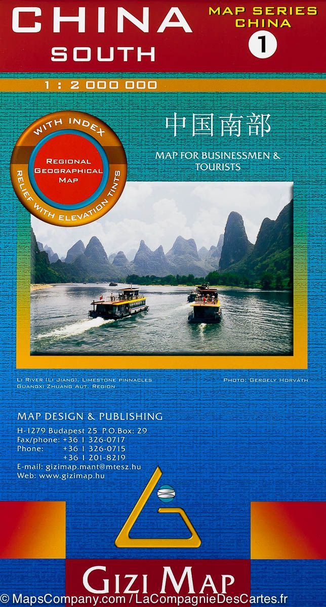
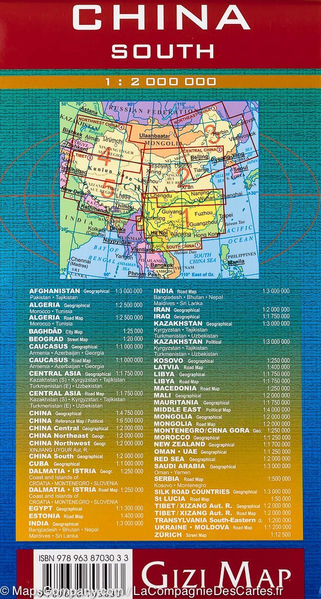
Carte géographique - Chine Sud 1 | Gizi Map carte pliée Gizi Map
Geographical map - South China 1 | Gizi Map
Gizi Map
$16.00
Carte de voyage - Chine | IGN carte pliée IGN
Travel map - China | IGN
IGN
$10.00
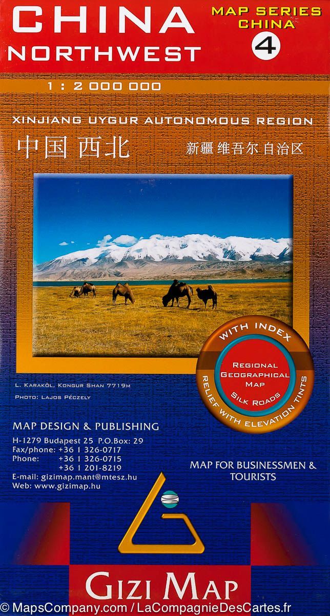
Carte géographique - Chine Nord-Ouest 4 | Gizi Map carte pliée Gizi Map
Geographical map - Northwest China 4 | Gizi Map
Gizi Map
$16.00
Atlas routier de poche - Route de la Soie | ITM - La Compagnie des Cartes
Pocket road atlas - Silk Road | ITM
ITM
$18.00