Regional map TOP 250 No. 4: Grand Est (Champagne, Ardennes) | IGN
Regular price
$9.00
Regular price
Sale price
$9.00
Save $-9
/
- Shipping within 24 working hours from our warehouse in France
- Delivery costs calculated instantly in the basket
- Free returns (*)
- Real-time inventory
- Low stock - 1 item left
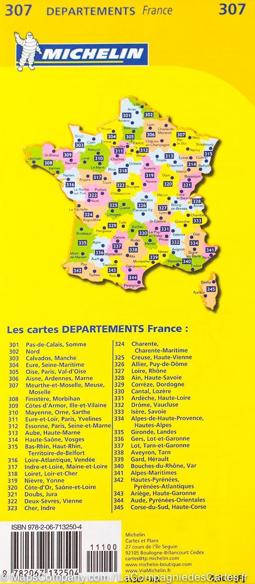
Related geographic locations and collections: Ardennes (department 08), Aube (department 10), Bas-Rhin (department 67), Champagne, Great East, Haut-Rhin (department 68), Haute-Marne (department 52), IGN TOP 250 France - Regional maps (scale 1/250,000), Marne (department 51), Meurthe-et-Moselle (department 54), Meuse (department 55), Moselle (department 57), Vosges (department 88)