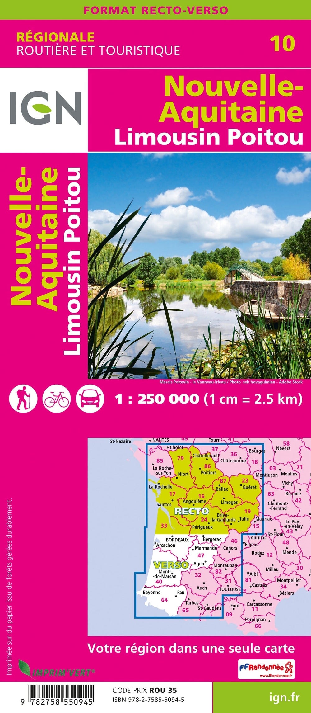
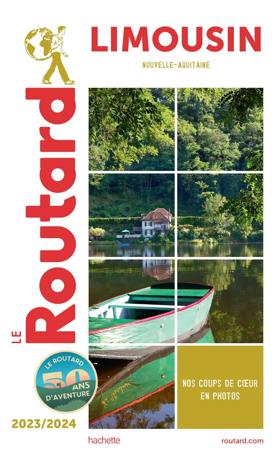
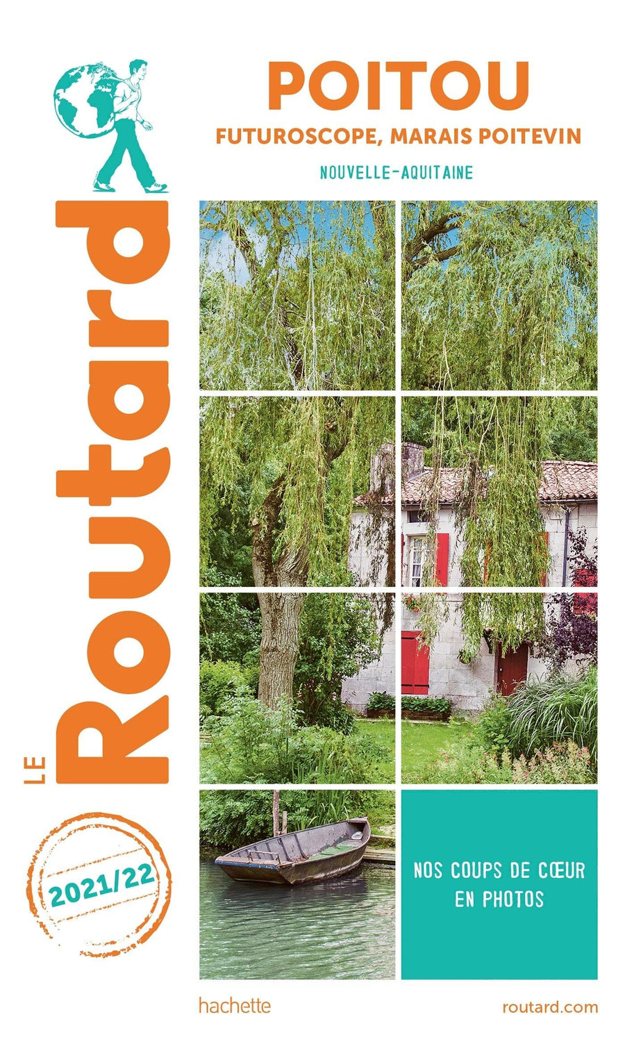
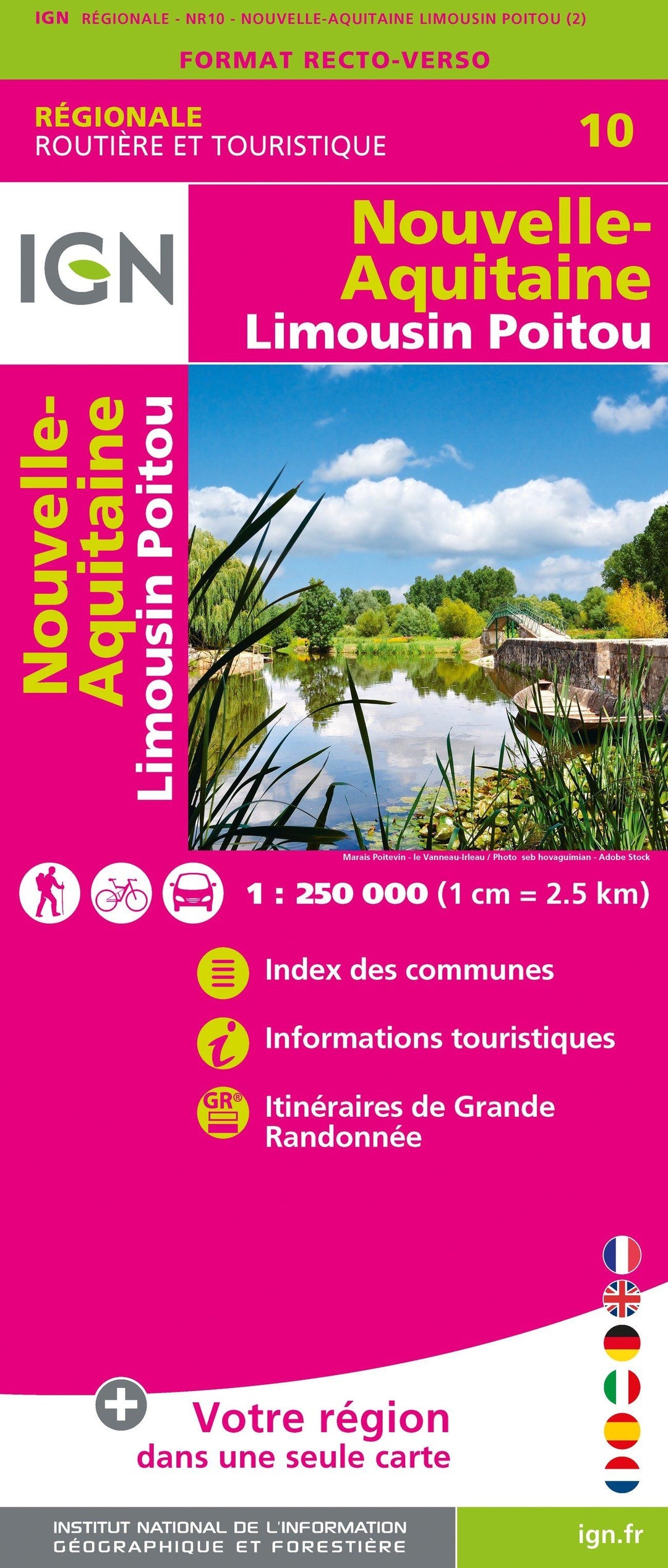
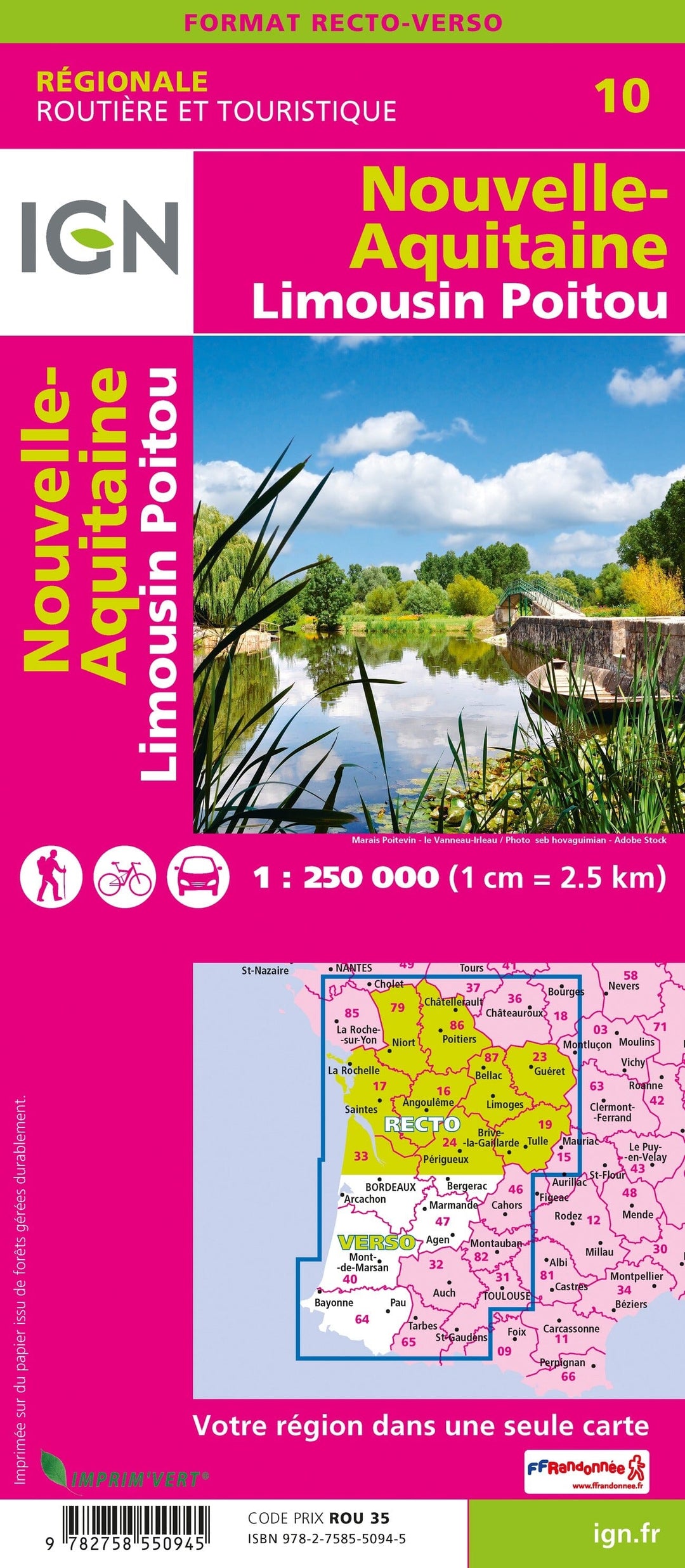
Regional map # 10: New Aquitaine (Limousin, Poitou) | IGN

Price
Regular price $8.00
Regular price Sale price $8.00
Save $-8
/
  • Shipping within 24 working hours from our warehouse in France
  • Delivery costs calculated instantly in the basket
  • Free returns (*)
  • Real-time inventory
  • Low stock - 1 item left
  • Backordered, shipping soon
Tax included.

Often purchased together:

IGN Road map of the whole of the new Aquitaine. This map is double - sided printed: it presents the Limousin and the Poitou on the front, and the rest of the new Aquitaine region on the back.

Distances shown on the map. Tourist information and cities index included. Representation of relief, indication of hiking trails (GR).

Scale 1/250 000 (1 cm = 2.5 km).

This map is part of the new IGN regional maps collection including the official cutting of the 13 new regions.


ISBN/EAN : 9782758550945
Publication date: 2020
Scale: 1/250,000 (1cm=2.5km)
Printed sides: both sides
Folded dimensions: 11 x 25cm
Language(s): French, English, German
Weight: 90 g

Customer Reviews

No reviews yet
0%
(0)
0%
(0)
0%
(0)
0%
(0)
0%
(0)
Carte régionale n° 3 : Ile de France | IGN carte pliée IGN
Regional map # 3: Island of France | IGN
IGN
$8.00
Carte régionale n° 6 : Bretagne | IGN carte pliée IGN
Regional map # 6: Brittany | IGN
IGN
$8.00
Carte régionale n° 9 : Bourgogne - Franche Comté | IGN carte pliée IGN
Regional map # 9: Burgundy - Franche Comté | IGN
IGN
$8.00