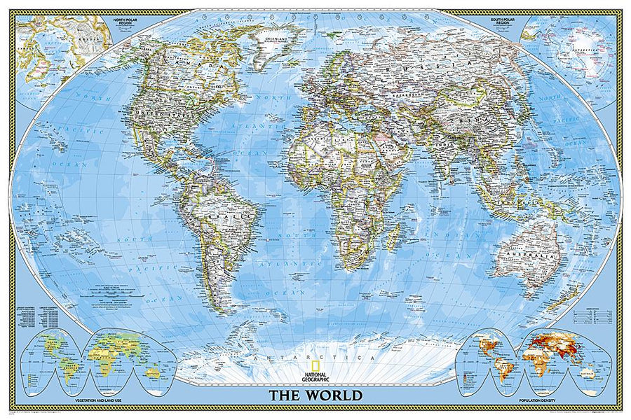
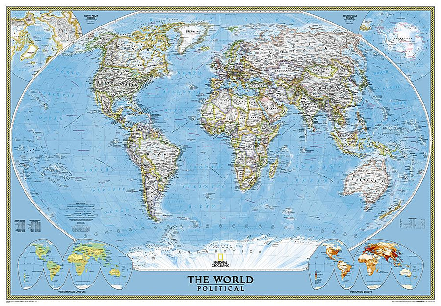
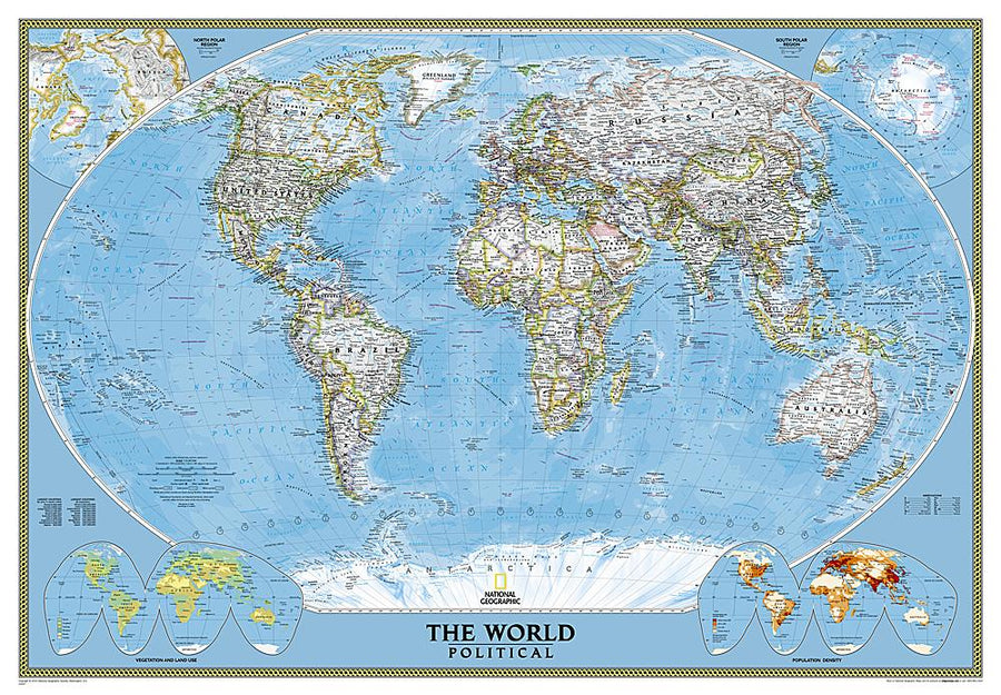
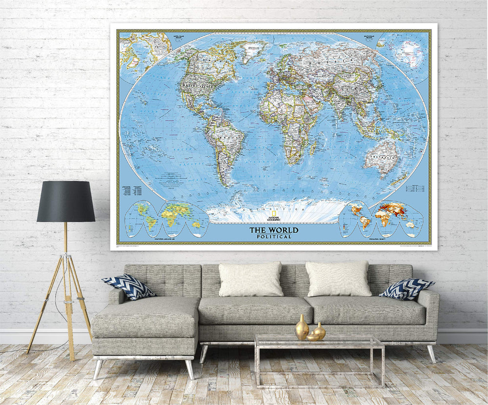
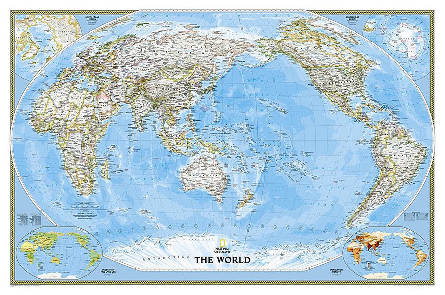
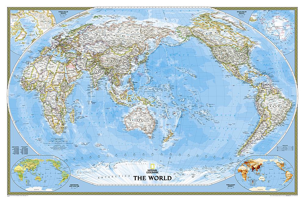
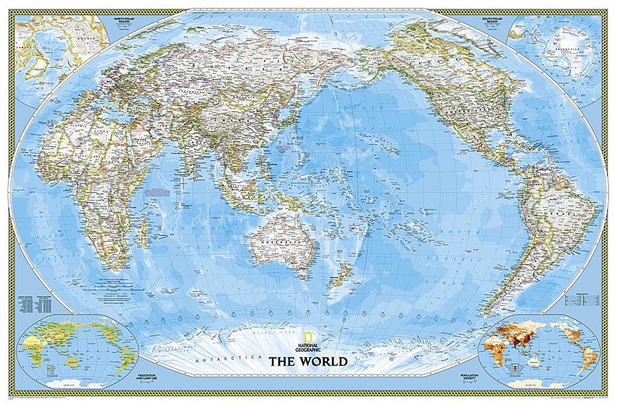
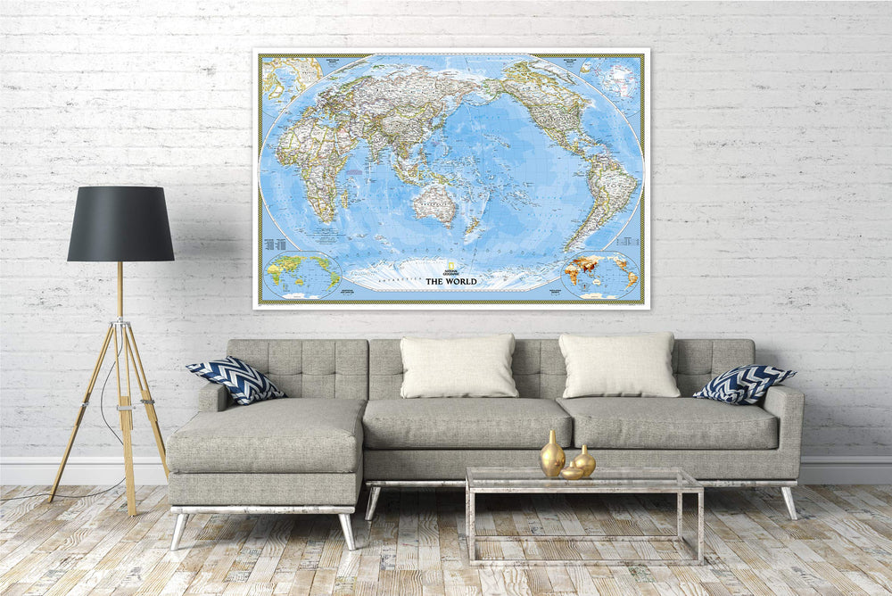
This mural of the political world uses the screen of Winkel Tripl to reduce the distortion of ground masses near the poles. This map includes a subtle land coloring, the dominant winds and ocean currents. Separate inserts show the polar regions of the North and South, the vegetation and the use of land in the world, the more the density of the world population.
Delivered in a laminated protection tube.
Available in paper version or laminatedized or laminatedized with uptake slats up and down.
Note: For the laminated map, an additional time of a few days may be necessary for laminating.
Date de publication : 2021
Echelle : 1/32,000,000 (1cm=320km)
Impression: front
Dimensions déplié(e) : 111 x 77cm
Langue : English


