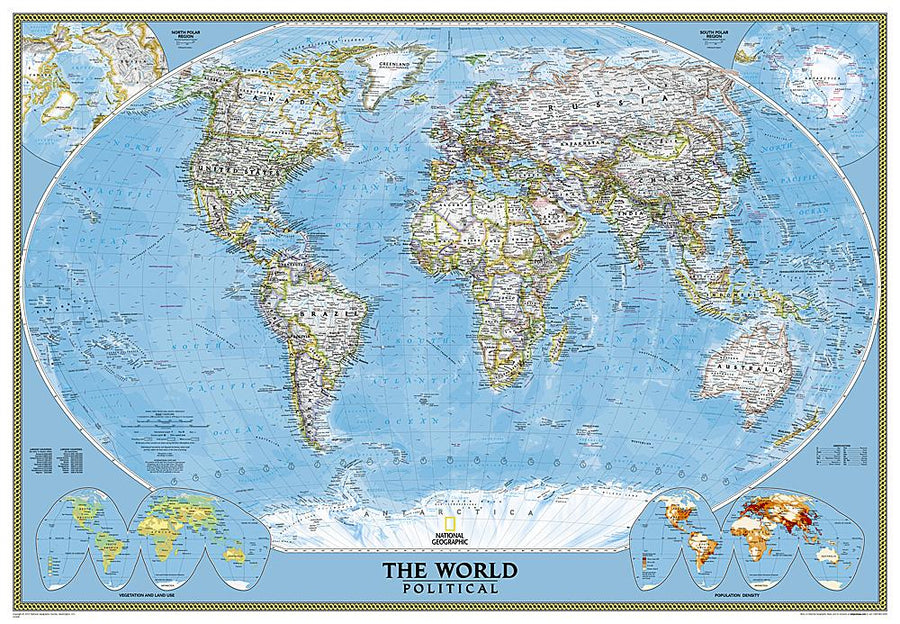
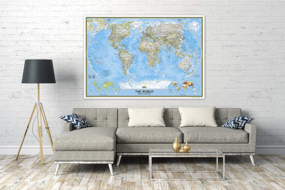
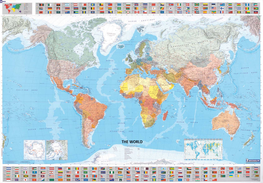
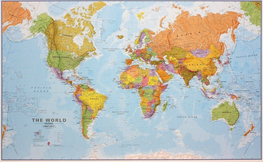
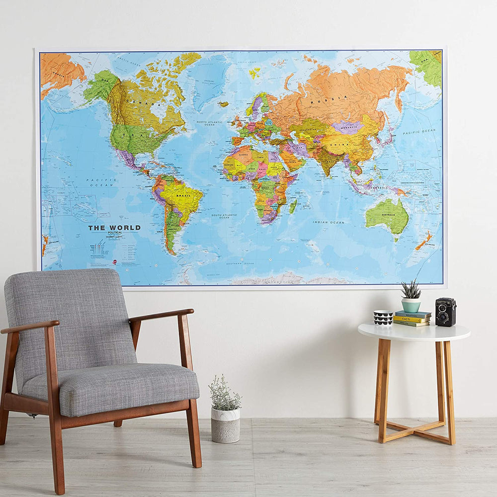
Carte murale (en anglais) - Monde politique, grand format | National Geographic carte murale grand tube National Geographic Plastifiée
Carte murale (en anglais) - Monde politique - 176 x 122 cm (grand format) | National Geographic carte murale grand tube National Geographic
Carte murale (en anglais) - Monde politique, grand format | National Geographic carte murale grand tube National Geographic Papier
Carte murale (en anglais) - Monde politique - 176 x 122 cm (grand format) | National Geographic carte murale grand tube National Geographic

Wall Map - Political World - 176 x 122 cm (Large Format) | National Geographic

Wall Map - Political World - 176 x 122 cm (Large Format) | National Geographic

Finishing
Regular price $56.00
/
  • Shipping within 24 working hours from our warehouse in France (except laminated models)
  • Delivery costs calculated instantly in the basket
  • Real-time inventory
  • In stock, ready to ship
  • Backordered, shipping soon
Tax included.

This map of the political world uses a clear and easy-to-read color palette with blue oceans and a shaded relief that has been on National Geographic's wall maps for more than 75 years.

Drawn with the Winkel Tripl projection, distortions are minimized and, unlike many other world maps, Greenland displays the same size as Argentina and not the size of all wall maps. The place names are carefully and artistically placed on the map to maintain the readability, even in very populated areas in Europe, Asia and the Middle East. The details include clearly defined international boundaries, cities, physical characteristics, rivers and characteristics of ocean funds. The inserts present the vegetation and the use of the land, the density of the population, as well as the north and south polar regions.
Delivered in a laminated protection tube.
exists in paper or laminatedized version.

Note: The laminated map may apply for a few more days for its manufacture in our workshop. A slightly longer delivery time is therefore to be expected.


Date de publication : 2020
Echelle : 1/20,000,000 (1cm=200km)
Impression: front
Dimensions déplié(e) : 176 x 122cm
Langue : English

Customer Reviews

Based on 1 review
100%
(1)
0%
(0)
0%
(0)
0%
(0)
0%
(0)
M
Martine D. (Libourne, FR)

Magnifique. Très beau produit