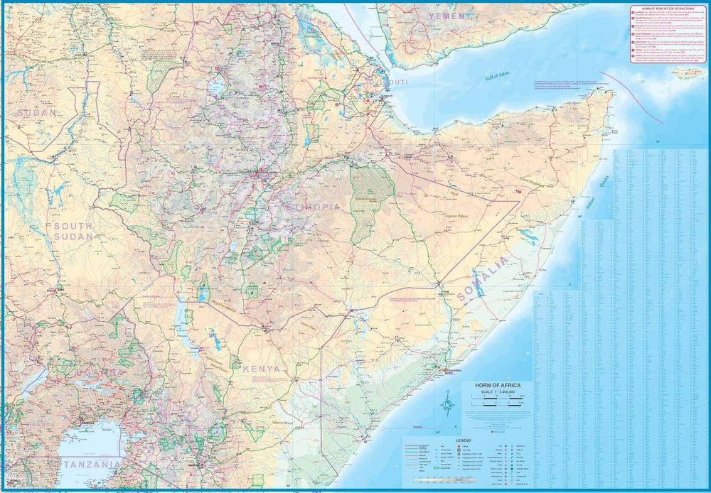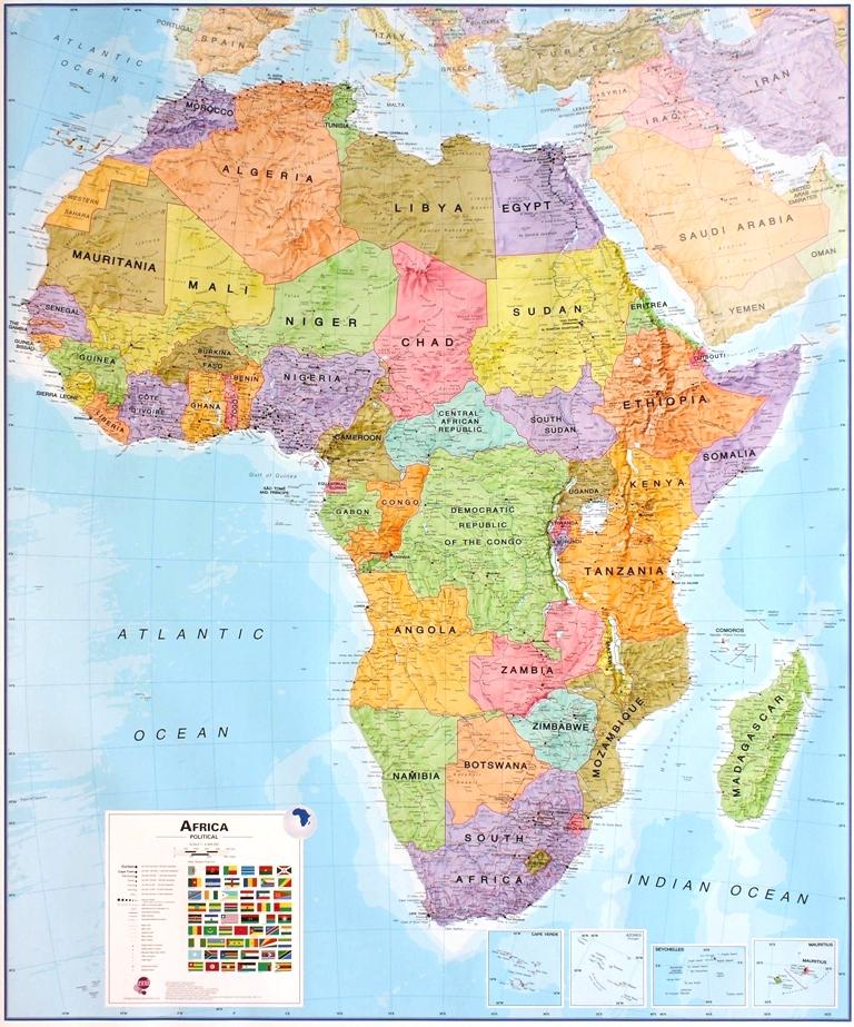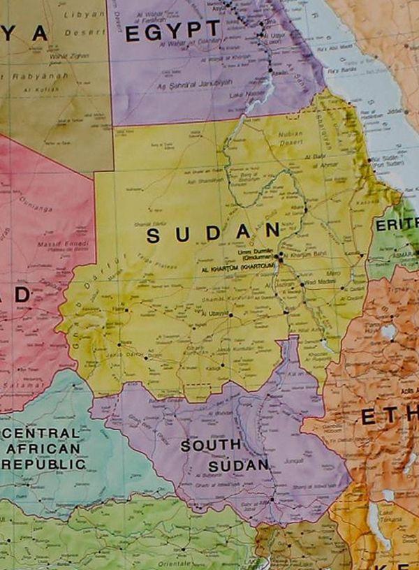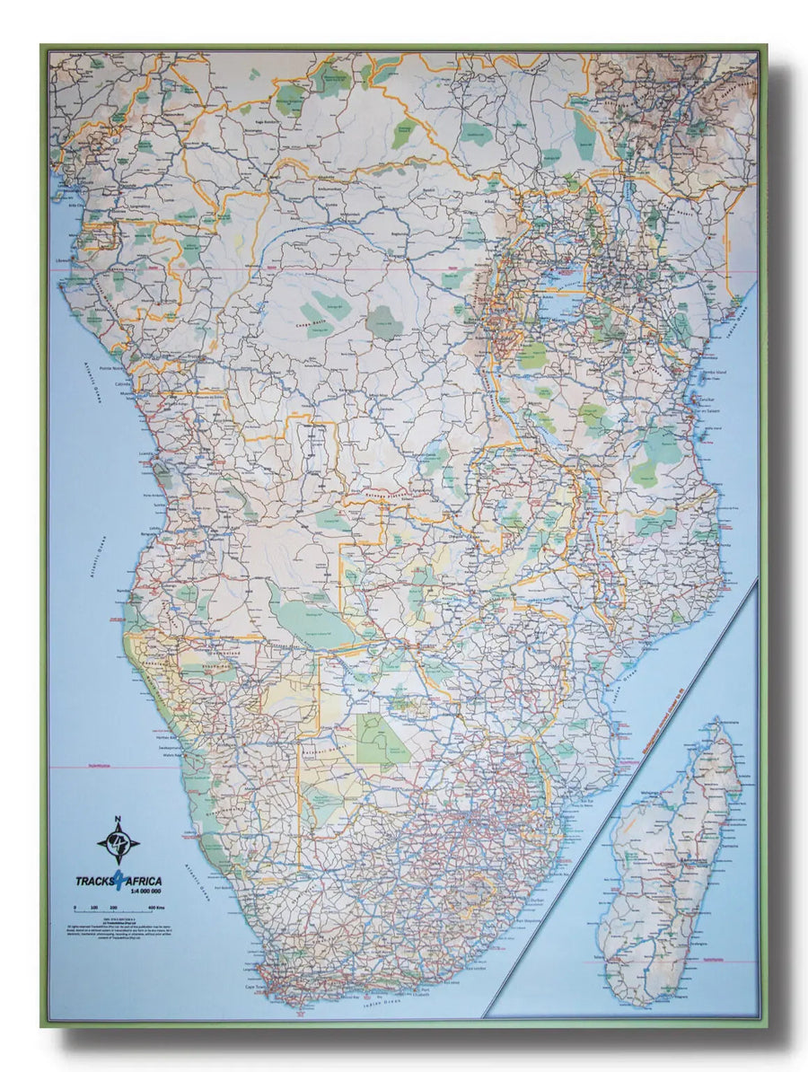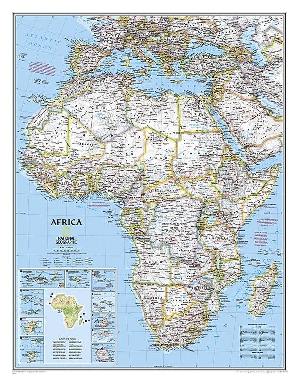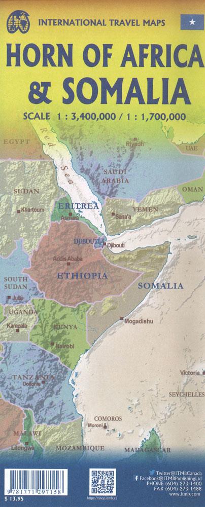
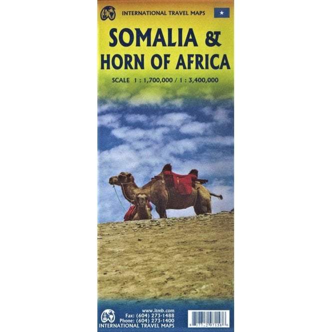


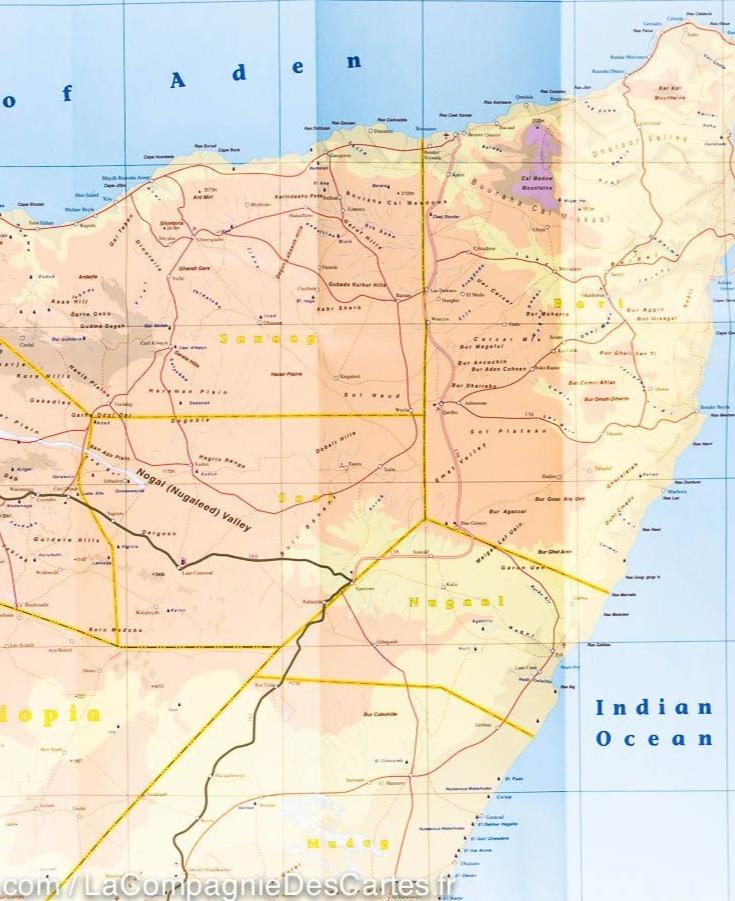
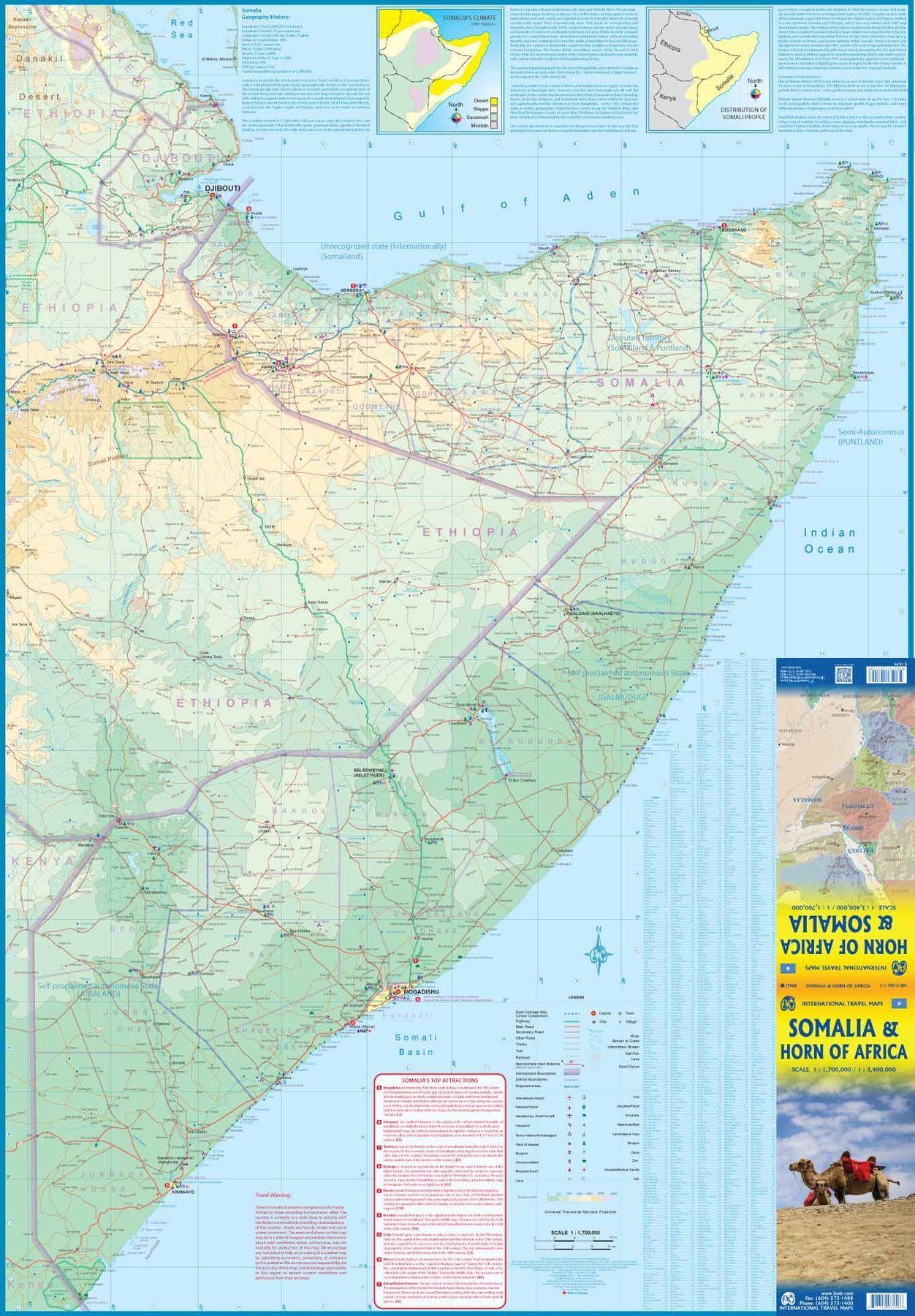


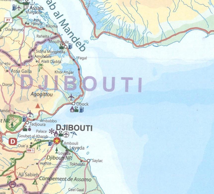
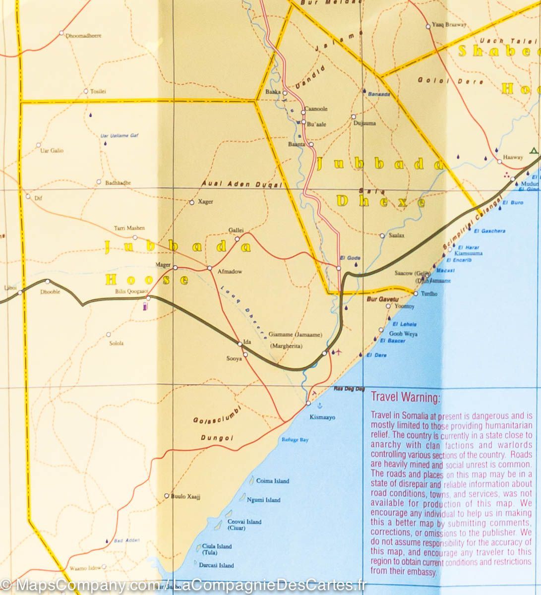
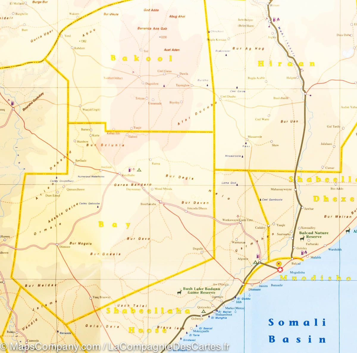

Map of Somalia and the Horn of Africa - WALL AND LAMINATED VERSION | ITM
Regular price
$97.00
Regular price
Sale price
$97.00
Save $-97
/
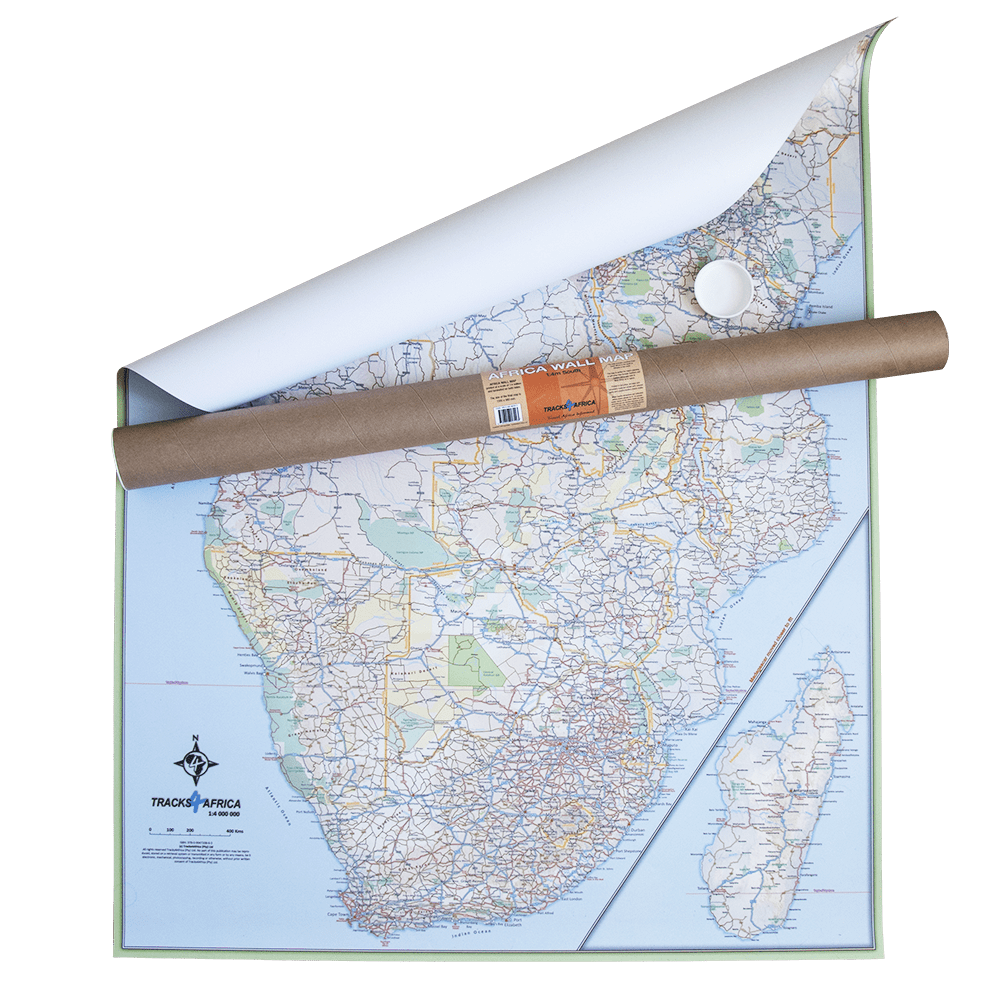
- Custom-made product - Shipping to mainland France, Belgium, Germany, Luxembourg, and the Netherlands within 7 to 10 working days from our workshop. Other regions: contact us
- Delivery costs calculated instantly in the basket
Related geographic locations and collections: Africa, Africa Wall Maps, Somalia, Wall Maps