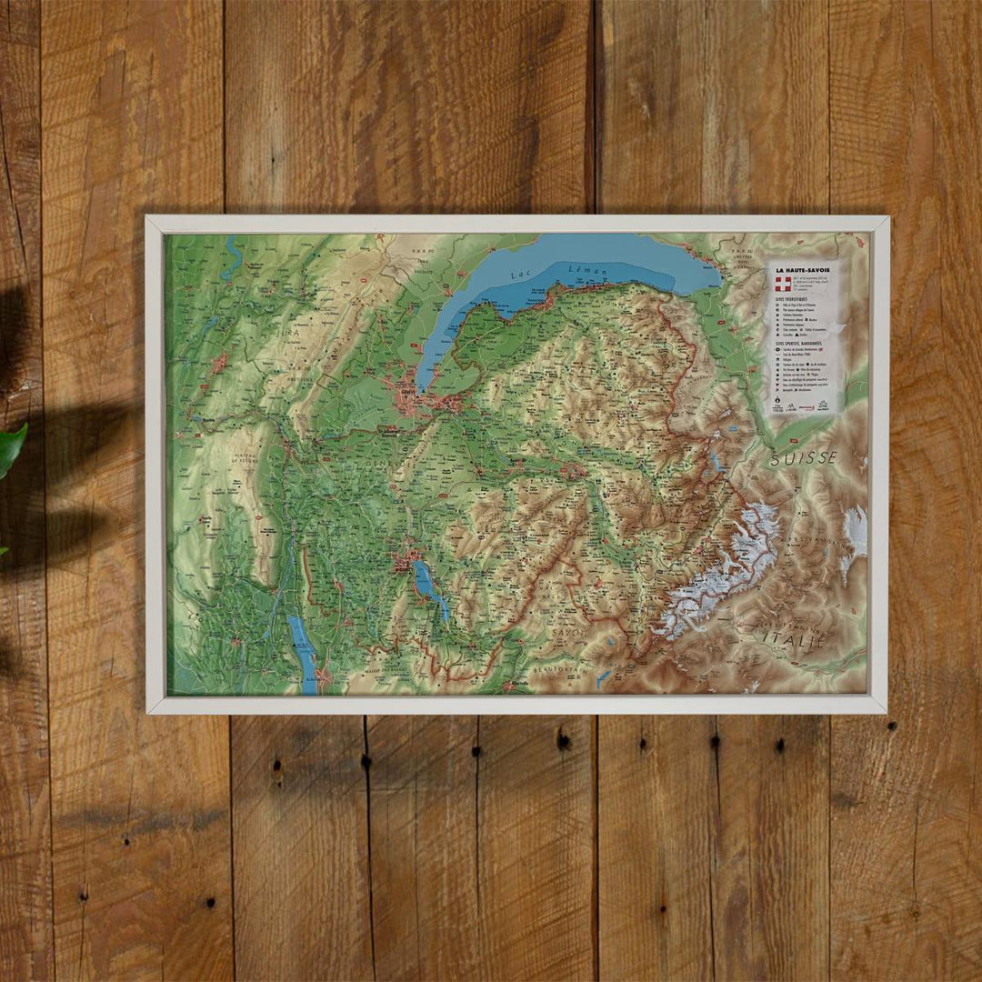
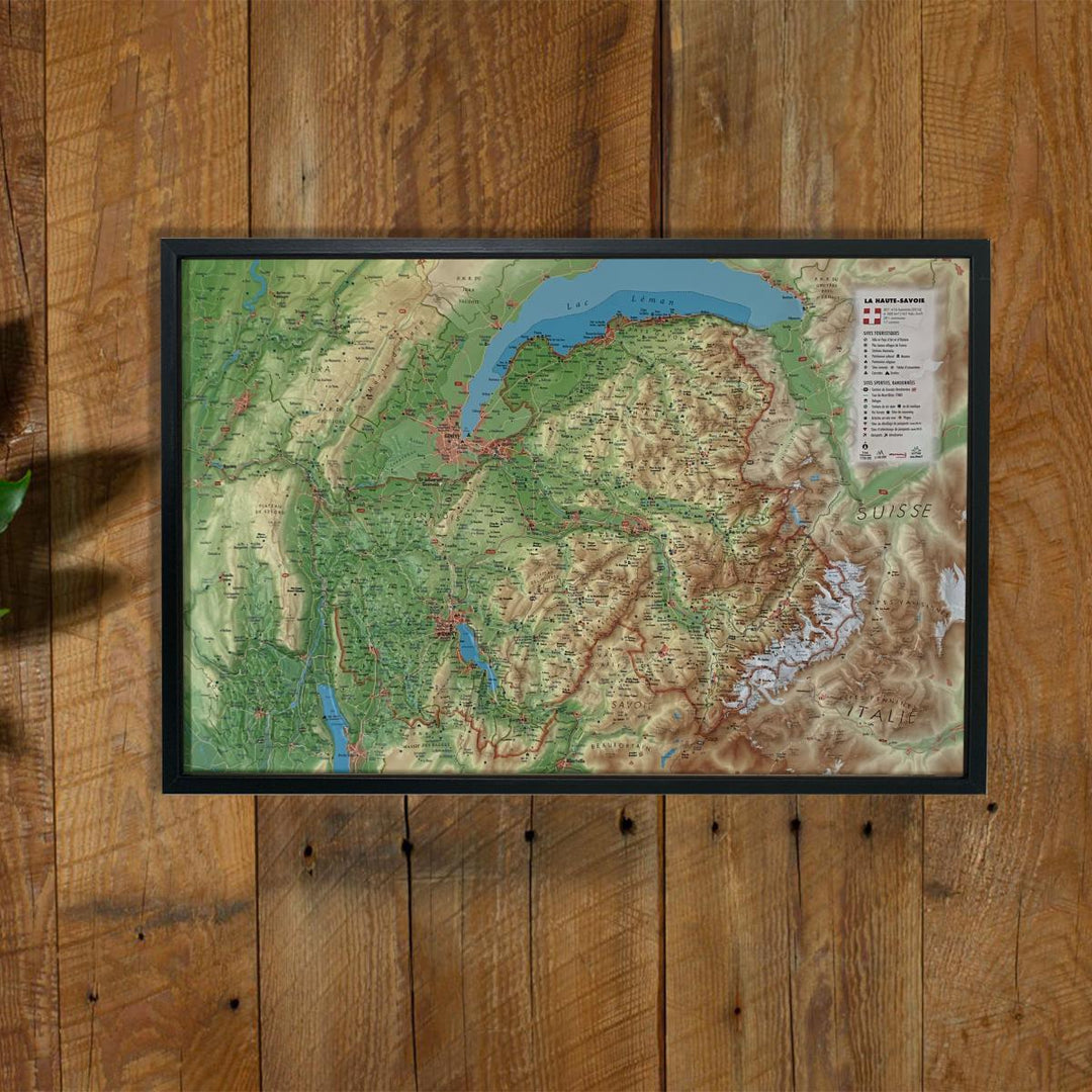
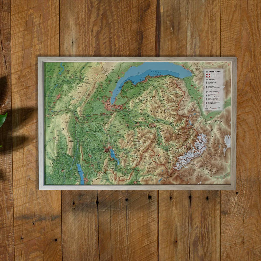
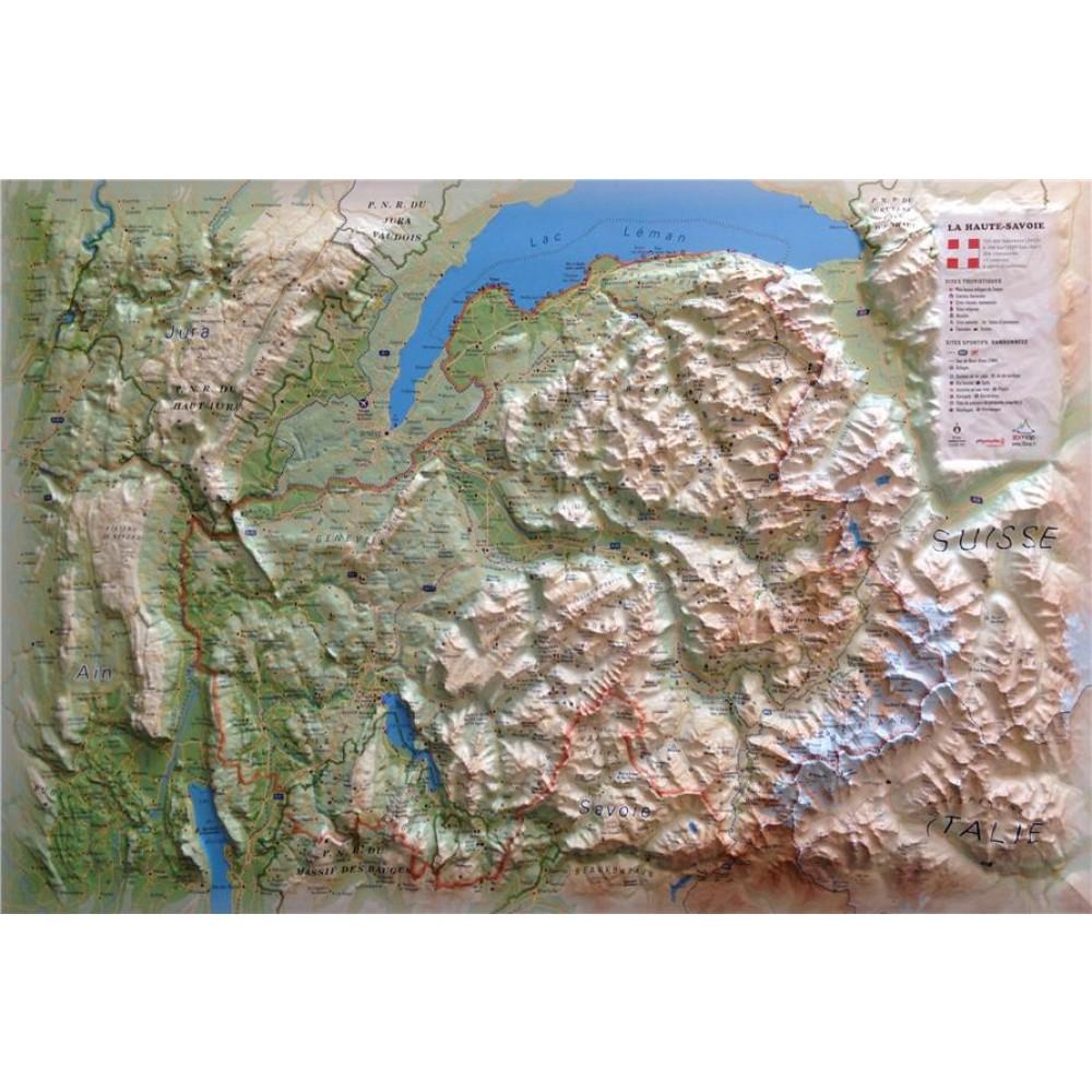
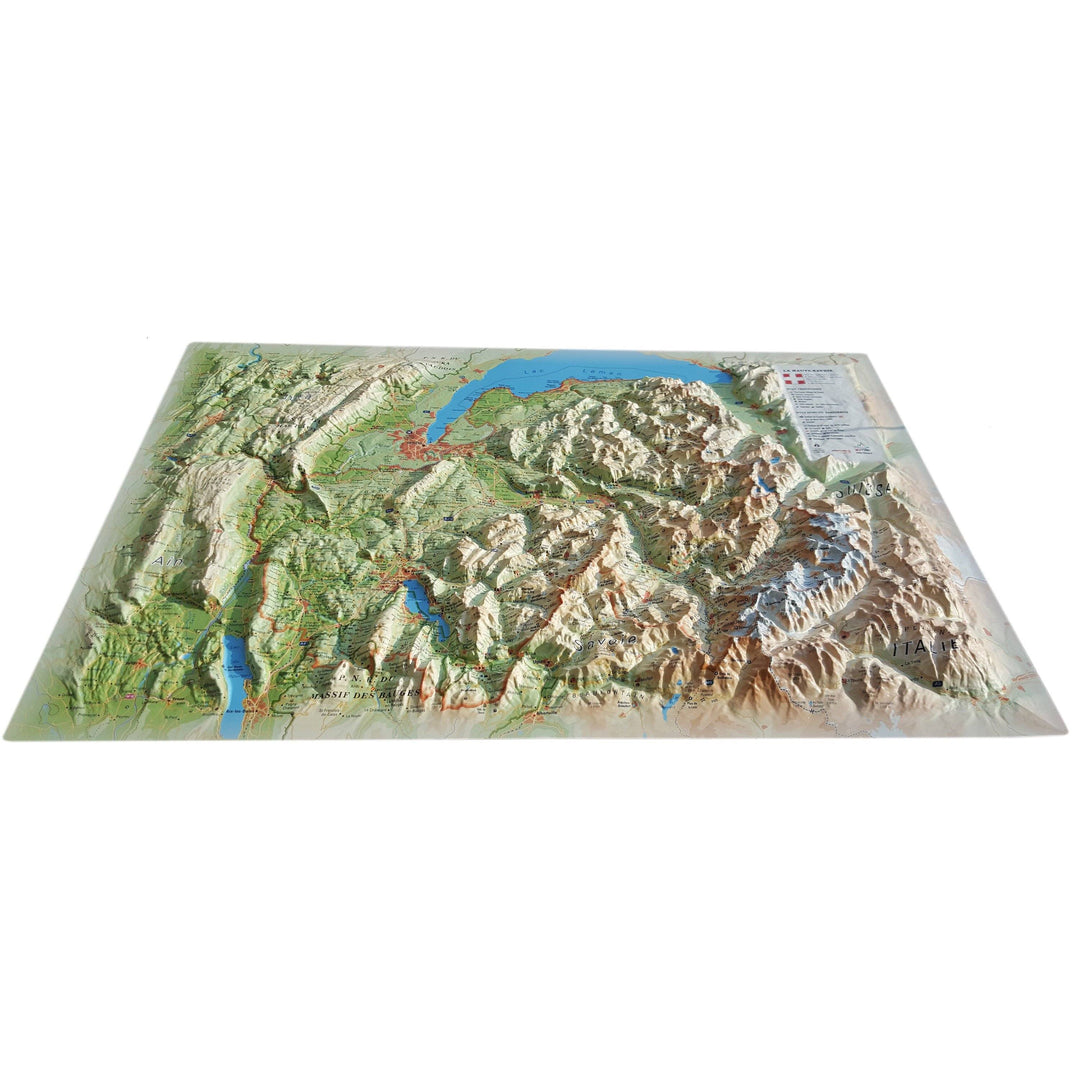
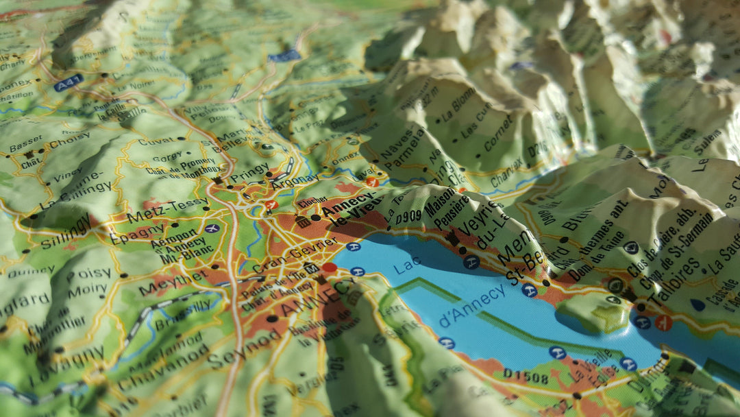
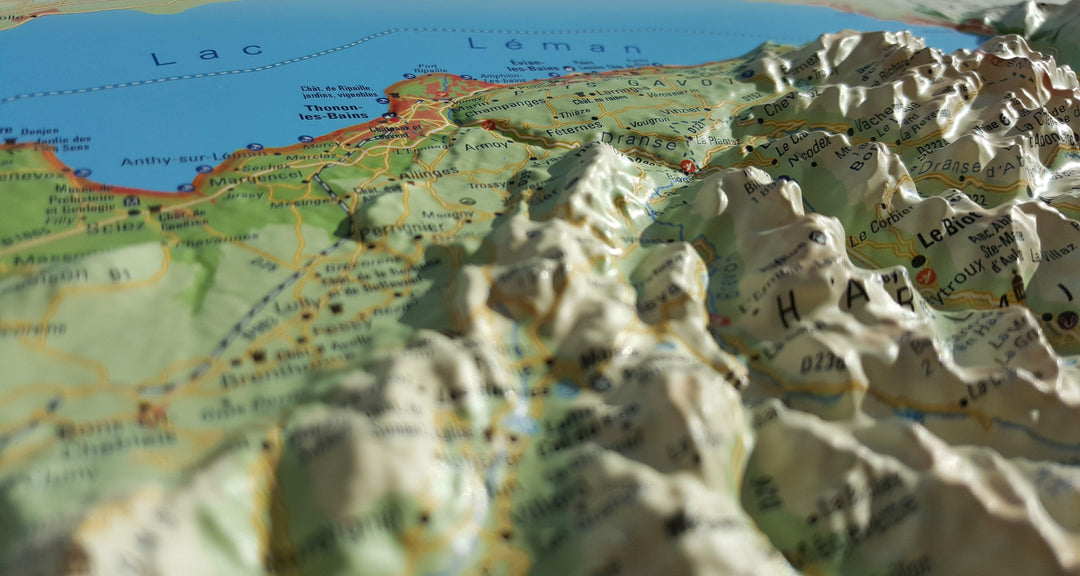
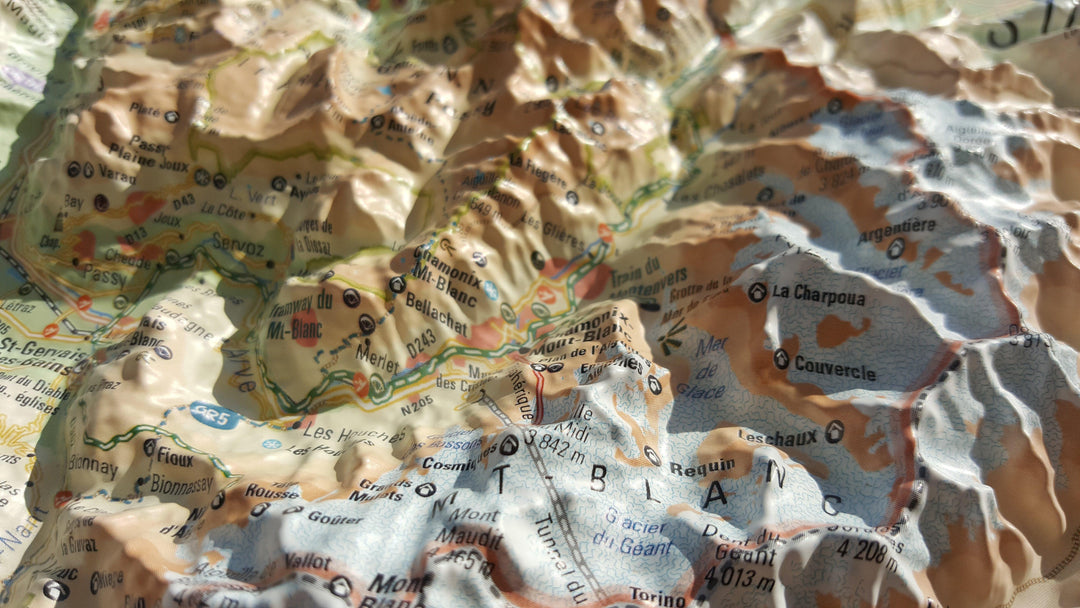
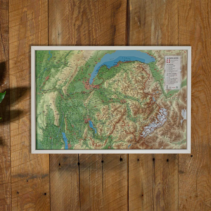
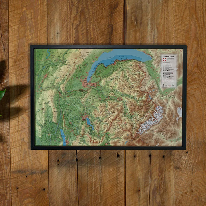
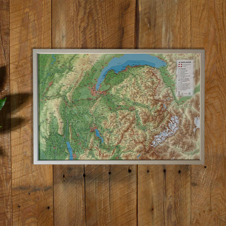
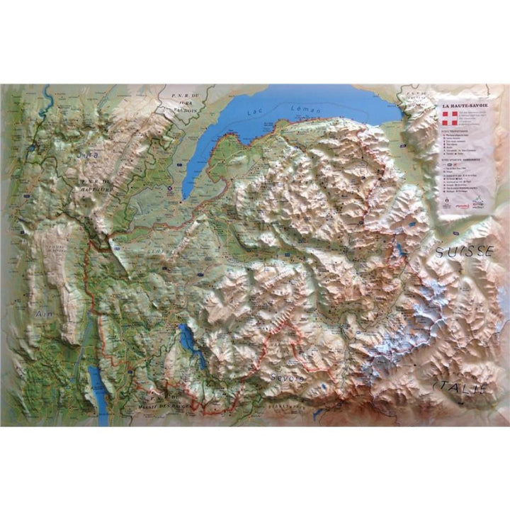
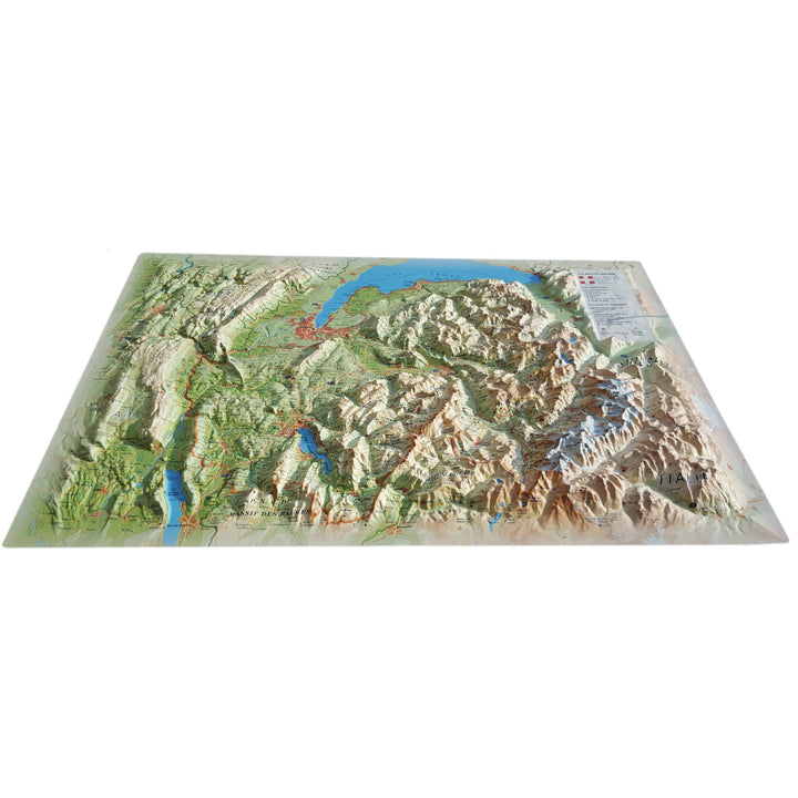
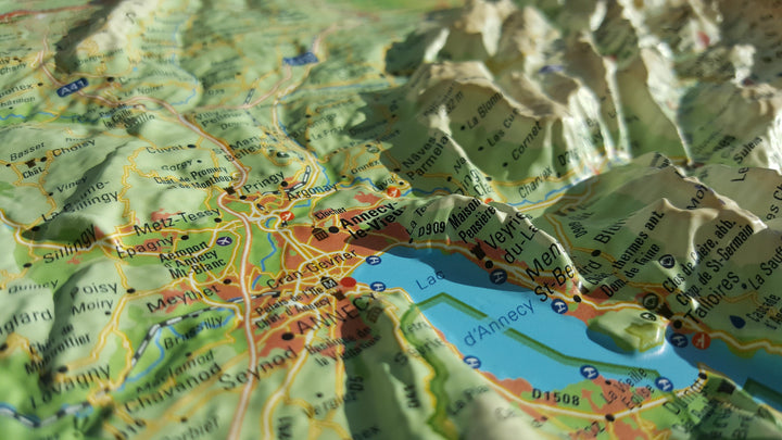
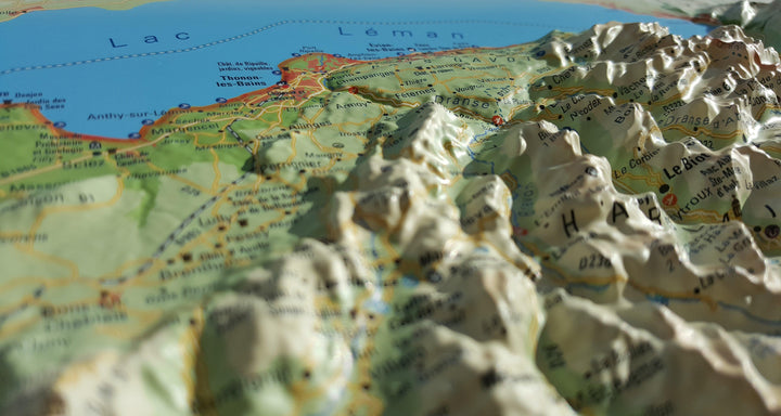
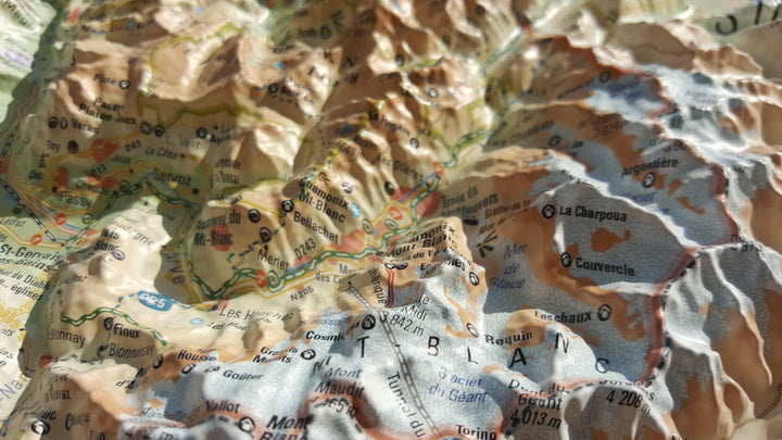
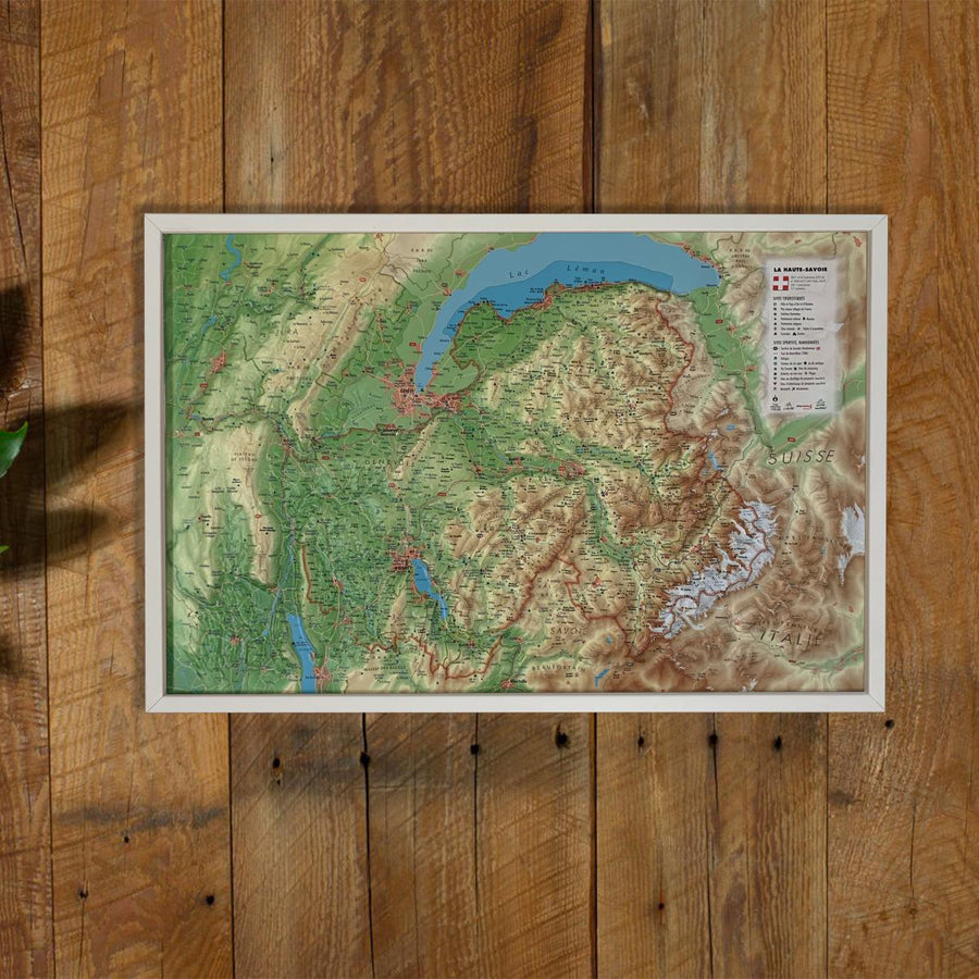
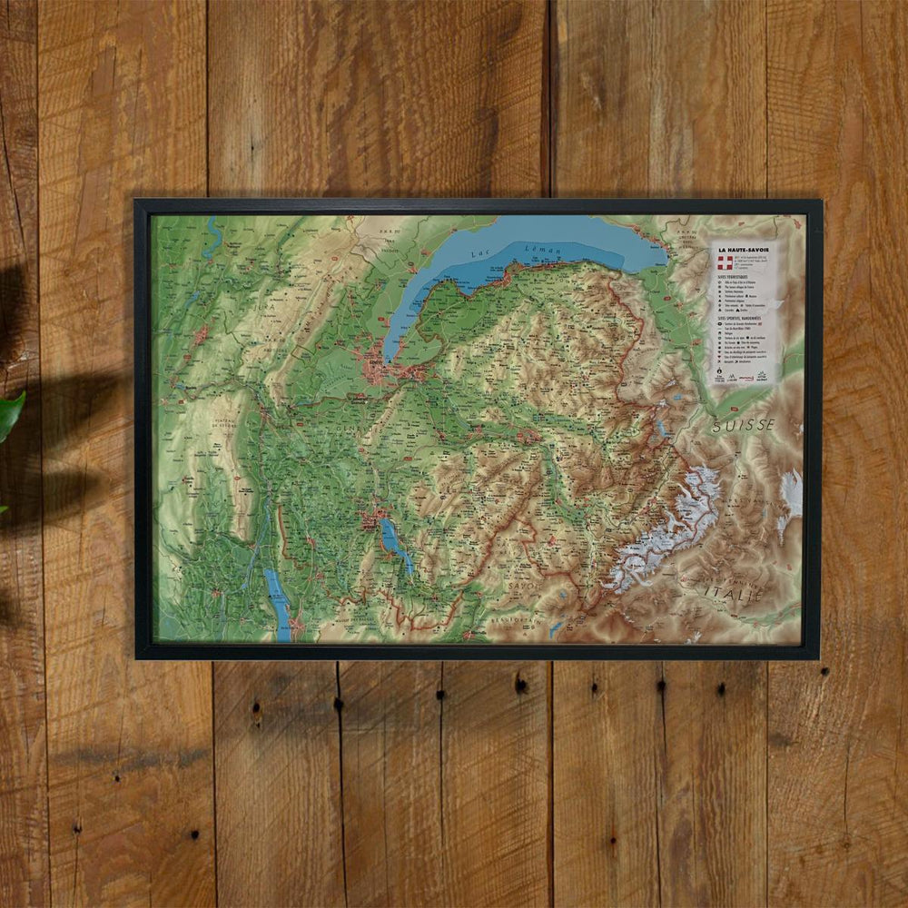
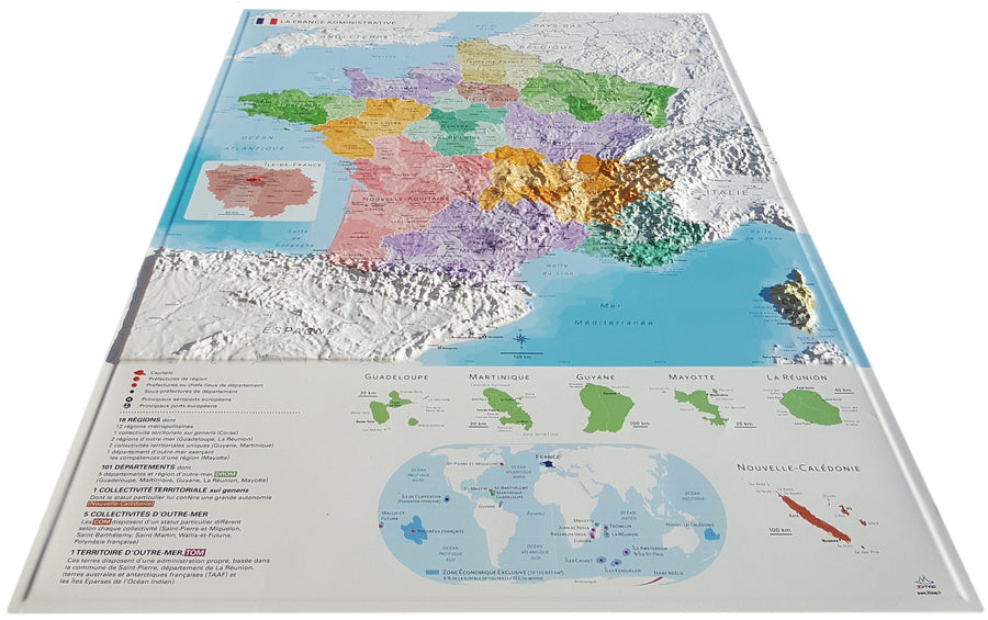
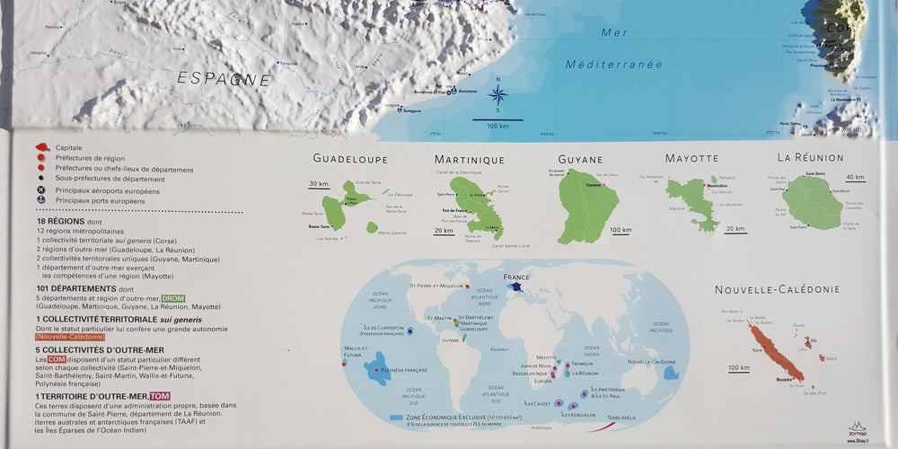
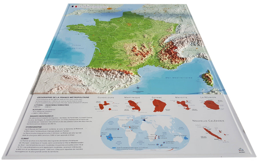
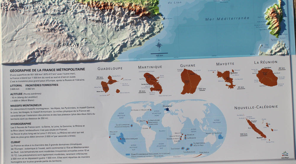
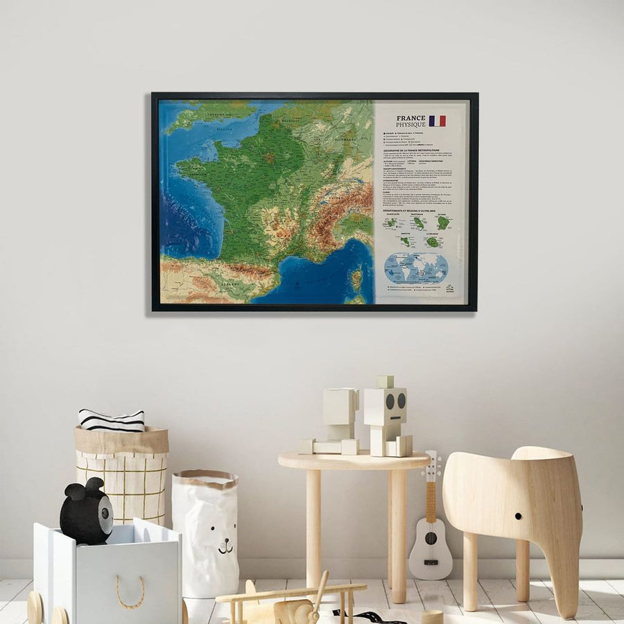
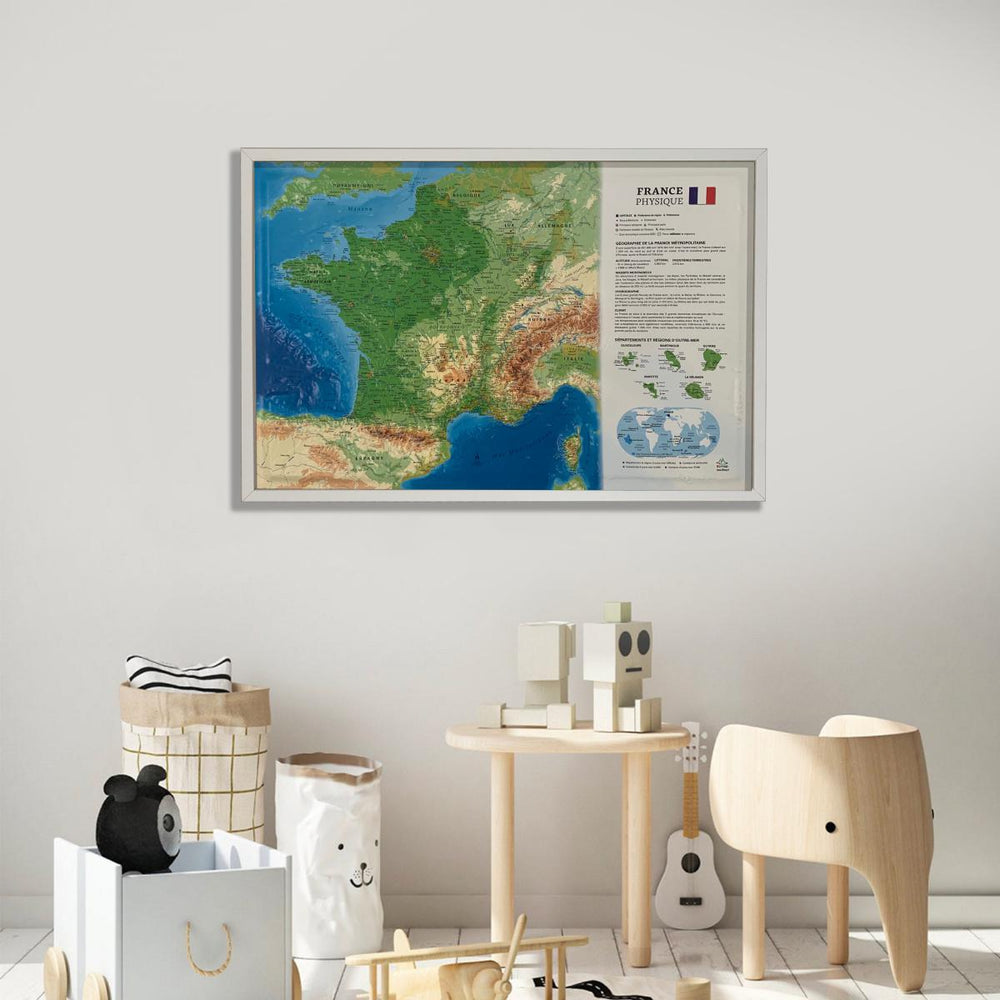
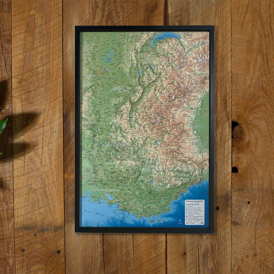
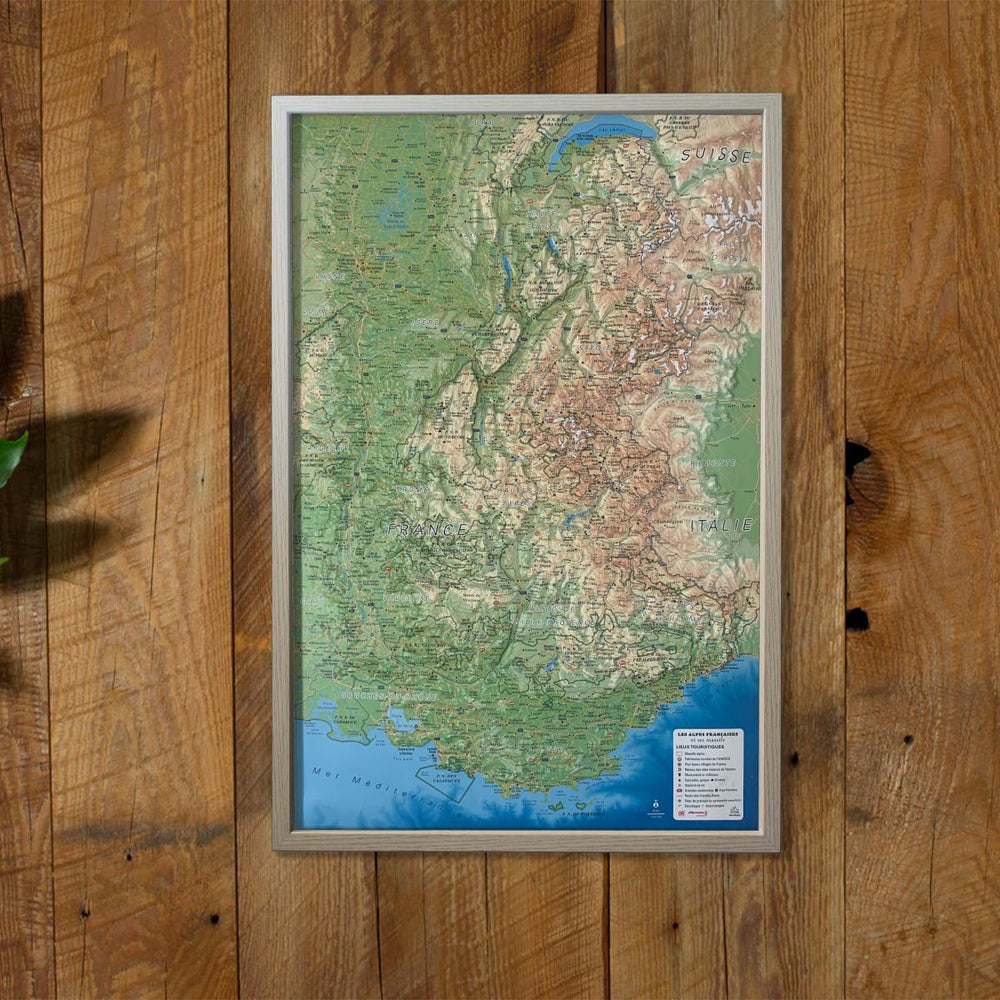
Relief wall map of Haute-Savoie (summer version).
A finishing frame is also available as an option: We highly recommend it to make hanging easier and to enhance the appearance of your map.
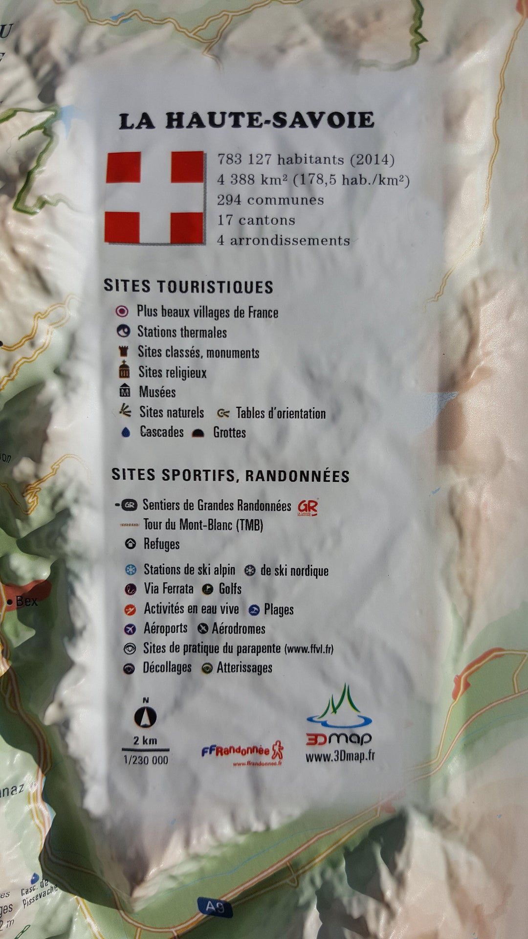
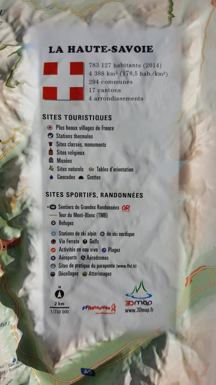
Information included on the map:
• Hydrological, natural and hypsometric data - Administrative data
• Museums - The most beautiful villages in France - Golfs - Les Beaches - Aerodromes
• Les Monuments and Castles of Legends - Religious Sites - Alpine and Nordic Ski Stations - Paragliding Practice Sites (Landing and Takeoff)
• Thermal Stations - Cascades, Gorges and Caves
Glaciers and Summits - Alpine Massifs - Natural Sites - GR - Trails - Tour du Mont Blanc - VIA Ferrata Sites - Live Water Activities
• Remarkable Itineraries - Refuges - Observatories - The Guidelines
• Scale 1: 230,000
ISBN / EAN : 9782955772997
Date de publication : 2017
Echelle : 1/230,000 (1 cm = 2.3 km)
Dimensions déplié(e) : 61cm x 41cm
Langue : French
Poids :
136 g


