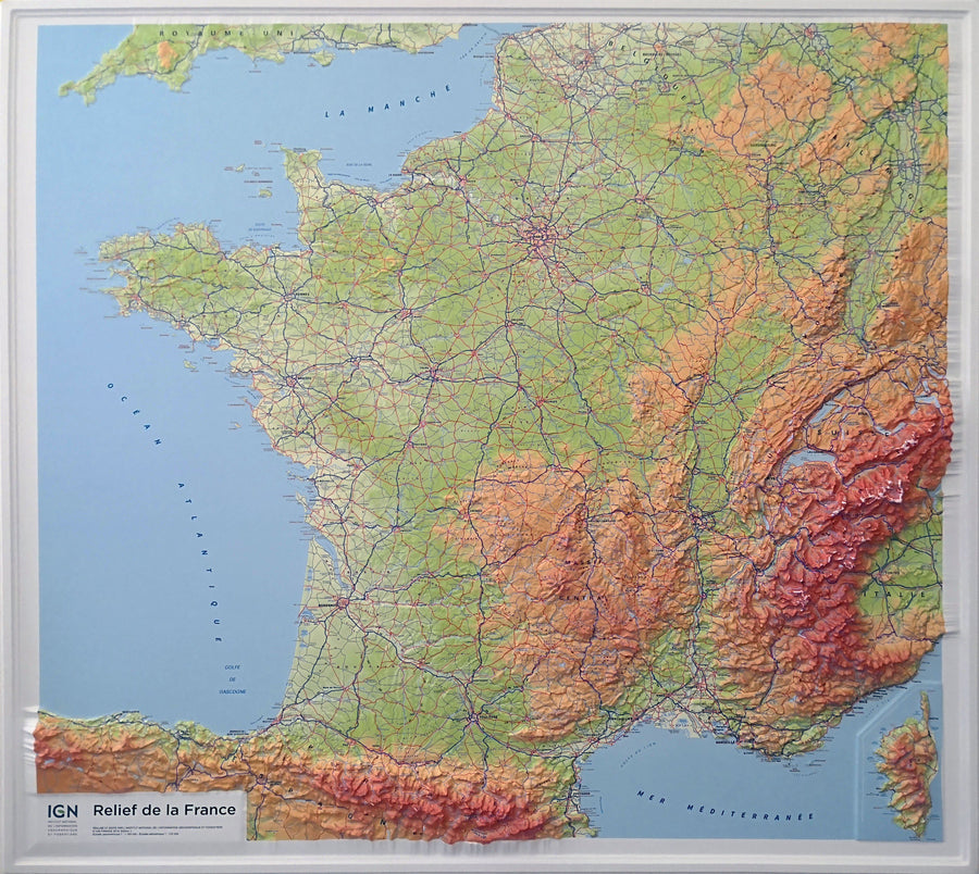
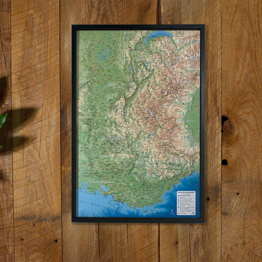
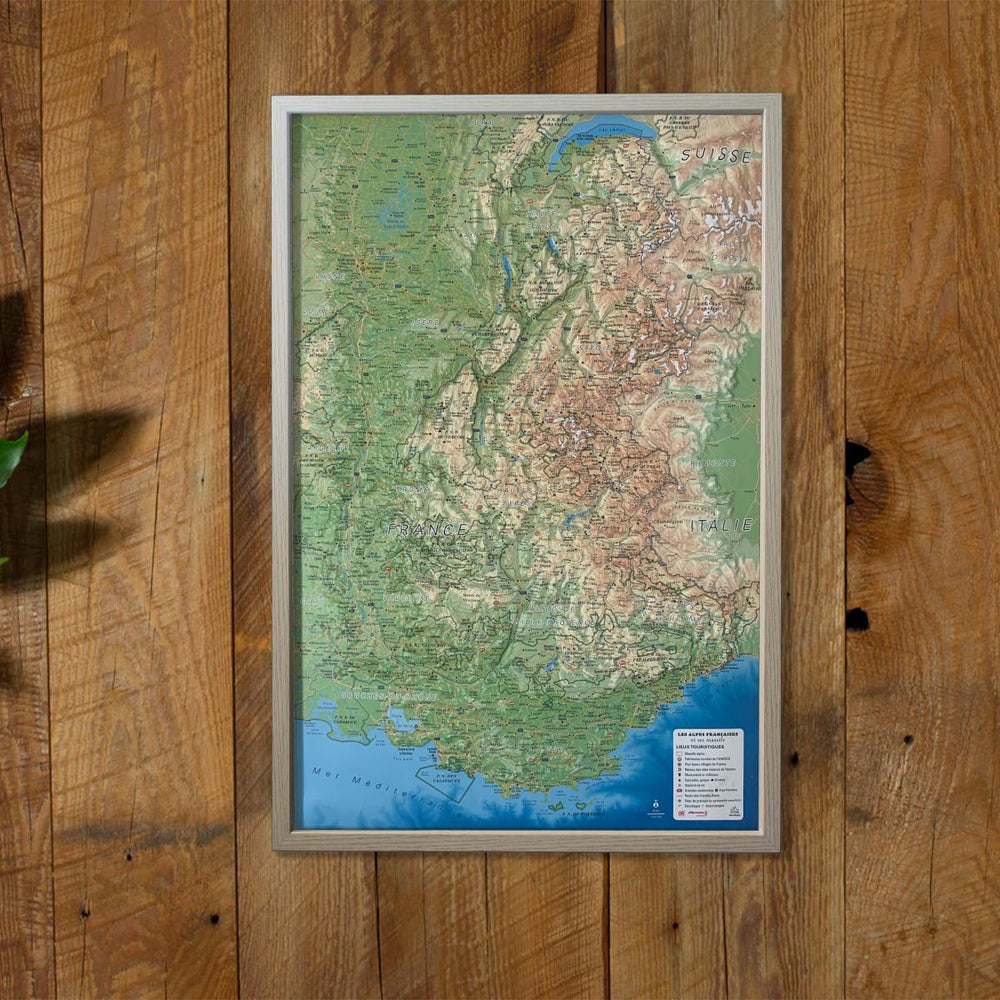
Relief Wall map - Hautes Pyrenees - 113 x 80 cm | IGN (French)
Regular price
$140.00
Regular price
Sale price
$140.00
Save $-140
/
- Shipping within 7 to 10 working days from our warehouse in France
- Delivery costs calculated instantly in the basket
Related geographic locations and collections: 3D Raised-Relief Maps, 3D relief map - IGN, Hautes-Pyrenees (department 65), Pyrenees General, Wall Maps